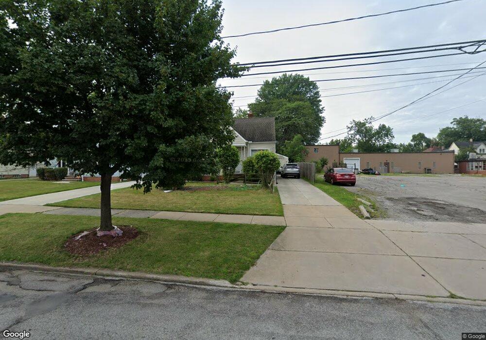
16512 Raymond St Maple Heights, OH 44137
Estimated Value: $100,000 - $132,000
4
Beds
1
Bath
1,177
Sq Ft
$99/Sq Ft
Est. Value
About This Home
This home is located at 16512 Raymond St, Maple Heights, OH 44137 and is currently estimated at $115,985, approximately $98 per square foot. 16512 Raymond St is a home located in Cuyahoga County with nearby schools including Abraham Lincoln Elementary School, Rockside/ J.F. Kennedy School, and Barack Obama School.
Ownership History
Date
Name
Owned For
Owner Type
Purchase Details
Closed on
May 11, 2021
Sold by
Dixon Michael and Dixon Monica
Bought by
Banks Simone
Current Estimated Value
Purchase Details
Closed on
Aug 9, 2013
Sold by
Dixon Michael
Bought by
Dixon Michael and Dixon Monica
Purchase Details
Closed on
Mar 13, 2013
Sold by
Weiss Leon A and Dixon Michael
Bought by
Dixon Michael
Purchase Details
Closed on
Mar 31, 1999
Sold by
Hasychak Gary M and Hasychak Sharleen M
Bought by
Dixon Michael
Purchase Details
Closed on
May 10, 1978
Sold by
Deppisch Paul J
Bought by
Hasychak Gary M
Purchase Details
Closed on
May 11, 1976
Sold by
Deppisch Paul J
Bought by
Deppisch Paul J
Purchase Details
Closed on
Jan 1, 1975
Bought by
Deppisch Paul J
Create a Home Valuation Report for This Property
The Home Valuation Report is an in-depth analysis detailing your home's value as well as a comparison with similar homes in the area
Home Values in the Area
Average Home Value in this Area
Purchase History
| Date | Buyer | Sale Price | Title Company |
|---|---|---|---|
| Banks Simone | $42,000 | Accommodation | |
| Dixon Michael | -- | None Available | |
| Dixon Michael | -- | Attorney | |
| Dixon Michael | $96,500 | Executive Title Agency Corp | |
| Hasychak Gary M | $38,000 | -- | |
| Deppisch Paul J | $32,000 | -- | |
| Deppisch Paul J | -- | -- |
Source: Public Records
Tax History Compared to Growth
Tax History
| Year | Tax Paid | Tax Assessment Tax Assessment Total Assessment is a certain percentage of the fair market value that is determined by local assessors to be the total taxable value of land and additions on the property. | Land | Improvement |
|---|---|---|---|---|
| 2024 | $1,920 | $30,380 | $7,070 | $23,310 |
| 2023 | $1,288 | $19,190 | $4,310 | $14,880 |
| 2022 | $1,322 | $19,180 | $4,305 | $14,875 |
| 2021 | $2,243 | $19,180 | $4,310 | $14,880 |
| 2020 | $1,925 | $14,530 | $3,260 | $11,270 |
| 2019 | $1,913 | $41,500 | $9,300 | $32,200 |
| 2018 | $1,902 | $14,530 | $3,260 | $11,270 |
| 2017 | $1,788 | $13,160 | $3,010 | $10,150 |
| 2016 | $1,729 | $13,160 | $3,010 | $10,150 |
| 2015 | $1,719 | $13,160 | $3,010 | $10,150 |
| 2014 | $1,719 | $14,460 | $3,330 | $11,130 |
Source: Public Records
Map
Nearby Homes
- 5210 Theodore St
- 16241 Glenburn Ave
- 5208 Clement Ave
- 5247 Henry St
- 5185 Clement Ave
- 16712 Kollin Ave
- 15911 Friend Ave
- 5110 Philip Ave
- 5082 Philip Ave
- 5212 Catherine St
- 5061 Philip Ave
- 5320 Clement Ave
- 5231 Philip Ave
- 5205 Stanley Ave
- 5257 Philip Ave
- 5100 Greenhurst Dr
- 16312 Sunny Glenn Ave
- 16216 Sunny Glenn Ave
- 5031 Cato St
- 17204 Maple Heights Blvd