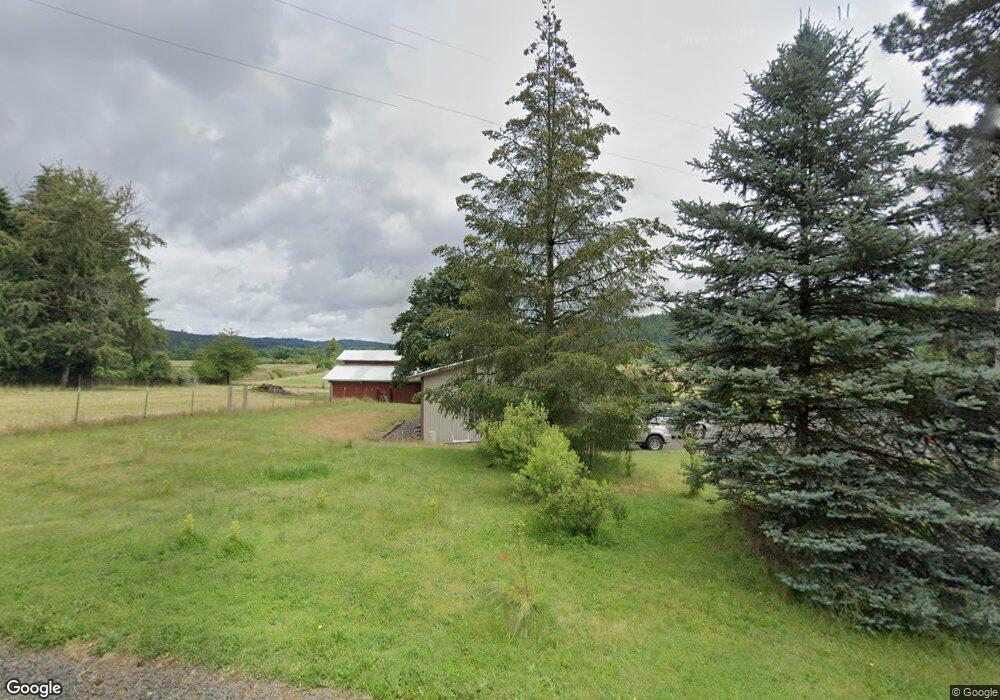
16515 Bridgeport Rd Dallas, OR 97338
Estimated Value: $670,167 - $849,000
4
Beds
2
Baths
2,200
Sq Ft
$350/Sq Ft
Est. Value
About This Home
This home is located at 16515 Bridgeport Rd, Dallas, OR 97338 and is currently estimated at $770,542, approximately $350 per square foot. 16515 Bridgeport Rd is a home located in Polk County with nearby schools including Oakdale Heights Elementary School, Whitworth Elementary School, and LaCreole Middle School.
Ownership History
Date
Name
Owned For
Owner Type
Purchase Details
Closed on
Apr 17, 2012
Sold by
Davis Ricky H and Davis Shirley A
Bought by
Anderson Michael Jon and Anderson Jenae Jeane
Current Estimated Value
Home Financials for this Owner
Home Financials are based on the most recent Mortgage that was taken out on this home.
Original Mortgage
$292,500
Outstanding Balance
$201,364
Interest Rate
3.84%
Mortgage Type
New Conventional
Estimated Equity
$569,178
Create a Home Valuation Report for This Property
The Home Valuation Report is an in-depth analysis detailing your home's value as well as a comparison with similar homes in the area
Home Values in the Area
Average Home Value in this Area
Purchase History
| Date | Buyer | Sale Price | Title Company |
|---|---|---|---|
| Anderson Michael Jon | $325,000 | Fidelity Natl Title Co Of Or |
Source: Public Records
Mortgage History
| Date | Status | Borrower | Loan Amount |
|---|---|---|---|
| Open | Anderson Michael Jon | $292,500 |
Source: Public Records
Tax History Compared to Growth
Tax History
| Year | Tax Paid | Tax Assessment Tax Assessment Total Assessment is a certain percentage of the fair market value that is determined by local assessors to be the total taxable value of land and additions on the property. | Land | Improvement |
|---|---|---|---|---|
| 2025 | $2,092 | $171,310 | $33,030 | $138,280 |
| 2024 | $2,092 | $166,448 | $32,188 | $134,260 |
| 2023 | $2,006 | $161,725 | $31,375 | $130,350 |
| 2022 | $1,955 | $157,142 | $30,582 | $126,560 |
| 2021 | $1,780 | $152,695 | $29,815 | $122,880 |
| 2020 | $1,725 | $148,377 | $29,067 | $119,310 |
| 2019 | $1,682 | $144,177 | $28,337 | $115,840 |
| 2018 | $1,644 | $140,106 | $27,636 | $112,470 |
| 2017 | $1,568 | $136,150 | $26,950 | $109,200 |
| 2016 | $1,504 | $132,303 | $26,283 | $106,020 |
| 2015 | $1,474 | $128,571 | $25,631 | $102,940 |
| 2014 | $1,418 | $124,947 | $24,997 | $99,950 |
Source: Public Records
Map
Nearby Homes
- 16275 Gilliam Rd
- 17755 Gardner Rd
- 7465 Kings Valley Hwy
- 0 (Next To) Airlie Rd
- 6980 McTimmonds Rd
- 14609 Forest Hill Dr
- Lot 400/201 Falls City Rd
- 7350 Smith Rd
- 18390 Bridgeport Rd
- 16000 Airlie Rd
- 3995 S Kings Valley Hwy
- 3933 S Kings Valley Hwy
- 0 Westview Ln Unit 24100906
- 0 Westview Ln Unit 822683
- 13530 Fishback Rd
- 11 N Main St
- 6100 Teal Creek Rd
- 3595 Barnhart Rd
- 13100 Rd
- 18570 Oakdale Rd
- 16480 Bridgeport Rd
- 16775 Bridgeport Rd
- 16330 Bridgeport Rd
- 16890 Bridgeport Rd
- 5920 South Kings Valley Hwy
- 5920 South Kings Valley Hwy
- 17030 Bridgeport Rd
- 0 Treehouse Rd Unit 614645
- 0 Treehouse Rd Unit 709830
- 0 Treehouse Rd Unit 761113
- 16500 Falls City Rd
- 5900 South Kings Valley Hwy
- 6499 Fern Hill Rd
- 17095 Bridgeport Rd
- 5805 South Kings Valley Hwy
- 5805 South Kings Valley Hwy
- 6295 Kings Ridge Rd
- 6585 Fern Hill Rd
- 6285 Kings Ridge Rd
- 6255 Kings Ridge Rd