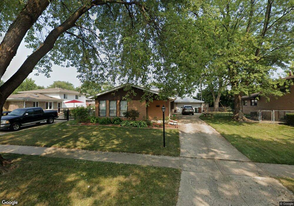
16519 Brockton Ln Oak Forest, IL 60452
Estimated Value: $257,000 - $281,000
3
Beds
3
Baths
1,226
Sq Ft
$221/Sq Ft
Est. Value
About This Home
This home is located at 16519 Brockton Ln, Oak Forest, IL 60452 and is currently estimated at $271,417, approximately $221 per square foot. 16519 Brockton Ln is a home located in Cook County with nearby schools including Fieldcrest Elementary School, Prairie-Hills Junior High School, and Tinley Park High School.
Ownership History
Date
Name
Owned For
Owner Type
Purchase Details
Closed on
Mar 19, 2004
Sold by
Drobac Claudia M and Tito Claudia M
Bought by
Drobac Richard L and Drobac Claudia M
Current Estimated Value
Home Financials for this Owner
Home Financials are based on the most recent Mortgage that was taken out on this home.
Original Mortgage
$56,047
Interest Rate
6.17%
Mortgage Type
New Conventional
Create a Home Valuation Report for This Property
The Home Valuation Report is an in-depth analysis detailing your home's value as well as a comparison with similar homes in the area
Home Values in the Area
Average Home Value in this Area
Purchase History
| Date | Buyer | Sale Price | Title Company |
|---|---|---|---|
| Drobac Richard L | -- | -- |
Source: Public Records
Mortgage History
| Date | Status | Borrower | Loan Amount |
|---|---|---|---|
| Previous Owner | Drobac Richard L | $56,047 |
Source: Public Records
Tax History Compared to Growth
Tax History
| Year | Tax Paid | Tax Assessment Tax Assessment Total Assessment is a certain percentage of the fair market value that is determined by local assessors to be the total taxable value of land and additions on the property. | Land | Improvement |
|---|---|---|---|---|
| 2024 | $7,791 | $24,000 | $2,970 | $21,030 |
| 2023 | $6,350 | $24,000 | $2,970 | $21,030 |
| 2022 | $6,350 | $15,889 | $2,640 | $13,249 |
| 2021 | $6,197 | $15,889 | $2,640 | $13,249 |
| 2020 | $6,185 | $15,889 | $2,640 | $13,249 |
| 2019 | $5,975 | $15,793 | $2,475 | $13,318 |
| 2018 | $5,865 | $15,793 | $2,475 | $13,318 |
| 2017 | $5,632 | $15,793 | $2,475 | $13,318 |
| 2016 | $5,171 | $13,541 | $2,145 | $11,396 |
| 2015 | $4,890 | $13,541 | $2,145 | $11,396 |
| 2014 | $4,802 | $13,541 | $2,145 | $11,396 |
| 2013 | $4,644 | $14,650 | $2,145 | $12,505 |
Source: Public Records
Map
Nearby Homes
- 16524 Brockton Ln
- 16465 Roy St
- 4335 Mann St
- 4230 Barry Ln
- 4348 Mann St
- 4316 Mann St
- 16409 Craig Dr
- 4363 Henry St
- 16224 S Cicero Ave
- 16740 Forest Ave
- 3949 168th St
- 16934 Cicero Ave
- 3936 169th St
- 3830 167th Place
- 16100 Cicero Ave
- 3907 168th Place
- 16104 Oak Ave
- 16928 Old Elm Dr
- 3806 168th St
- 3801 167th Place
- 16515 Brockton Ln
- 16523 Brockton Ln
- 16511 Brockton Ln
- 16514 Barton Ln
- 16520 Barton Ln
- 16510 Barton Ln
- 16516 Brockton Ln
- 16512 Brockton Ln
- 16507 Brockton Ln
- 16520 Brockton Ln
- 16508 Brockton Ln
- 16506 Barton Ln
- 16504 Brockton Ln
- 16501 Brockton Ln
- 16500 Barton Ln
- 16526 Brockton Ln
- 16517 Brenden Ln
- 16500 Brockton Ln
- 16521 Brenden Ln
- 16513 Brenden Ln