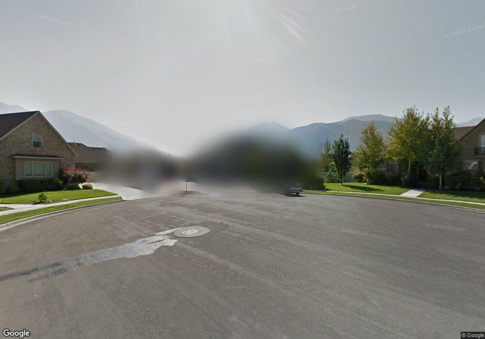
1652 E 1620 S Spanish Fork, UT 84660
Estimated Value: $1,033,000 - $1,177,000
6
Beds
3
Baths
4,860
Sq Ft
$225/Sq Ft
Est. Value
About This Home
This home is located at 1652 E 1620 S, Spanish Fork, UT 84660 and is currently estimated at $1,093,644, approximately $225 per square foot. 1652 E 1620 S is a home located in Utah County with nearby schools including Canyon Elementary School, Spanish Fork Jr High School, and Spanish Fork High School.
Ownership History
Date
Name
Owned For
Owner Type
Purchase Details
Closed on
Mar 5, 2004
Sold by
Schmutz Kenneth Andrew and Schmutz Carrie
Bought by
Olsen Carey Lee
Current Estimated Value
Home Financials for this Owner
Home Financials are based on the most recent Mortgage that was taken out on this home.
Original Mortgage
$306,000
Outstanding Balance
$142,811
Interest Rate
5.65%
Mortgage Type
Purchase Money Mortgage
Estimated Equity
$950,833
Purchase Details
Closed on
Jul 16, 2002
Sold by
Cabin Creek Enterprises Llc
Bought by
Schmutz Kenneth Andrew and Schmutz Carrie
Home Financials for this Owner
Home Financials are based on the most recent Mortgage that was taken out on this home.
Original Mortgage
$260,000
Interest Rate
6.69%
Create a Home Valuation Report for This Property
The Home Valuation Report is an in-depth analysis detailing your home's value as well as a comparison with similar homes in the area
Home Values in the Area
Average Home Value in this Area
Purchase History
| Date | Buyer | Sale Price | Title Company |
|---|---|---|---|
| Olsen Carey Lee | -- | Wasatch Land & Title | |
| Schmutz Kenneth Andrew | -- | Wasatch Land & Title Insuran |
Source: Public Records
Mortgage History
| Date | Status | Borrower | Loan Amount |
|---|---|---|---|
| Open | Olsen Carey Lee | $306,000 | |
| Previous Owner | Schmutz Kenneth Andrew | $260,000 |
Source: Public Records
Tax History
| Year | Tax Paid | Tax Assessment Tax Assessment Total Assessment is a certain percentage of the fair market value that is determined by local assessors to be the total taxable value of land and additions on the property. | Land | Improvement |
|---|---|---|---|---|
| 2025 | $4,971 | $574,860 | -- | -- |
| 2024 | $4,971 | $512,325 | $0 | $0 |
| 2023 | $5,095 | $525,745 | $0 | $0 |
| 2022 | $5,339 | $540,320 | $0 | $0 |
| 2021 | $4,719 | $764,000 | $189,900 | $574,100 |
| 2020 | $4,382 | $689,800 | $172,600 | $517,200 |
| 2019 | $3,927 | $650,300 | $172,600 | $477,700 |
| 2018 | $3,515 | $562,700 | $147,300 | $415,400 |
| 2017 | $3,163 | $272,140 | $0 | $0 |
| 2016 | $2,995 | $254,320 | $0 | $0 |
| 2015 | $2,632 | $220,825 | $0 | $0 |
| 2014 | $2,606 | $219,450 | $0 | $0 |
Source: Public Records
Map
Nearby Homes
- 357 E 1460 S Unit 45
- 385 E 1460 S Unit 47
- 1332 E 1670 S Unit 823
- 82 E 1900 S
- 1439 S 3600 E
- 1282 S 2000 E
- 1166 S 1920 E
- 1692 E 1000 S
- 1878 E 1050 S
- 938 S 1740 E
- 1025 S 3100 E Unit 320
- 2308 E 850 South St Unit 10
- 839 S 1760 E
- 1061 S 2230 E
- 2397 E 1370 S
- 857 S 1300 E Unit 32
- 834 S 1300 #16gc E
- 815 S 1300 E Unit 34
- 2034 E 800 S
- 816 S 1300 E
Your Personal Tour Guide
Ask me questions while you tour the home.