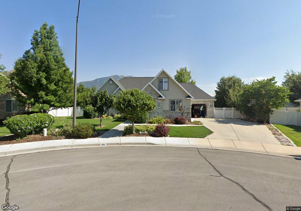
1652 E 550 S Springville, UT 84663
East Hobble Creek NeighborhoodEstimated Value: $742,995 - $843,000
4
Beds
4
Baths
1,995
Sq Ft
$392/Sq Ft
Est. Value
About This Home
This home is located at 1652 E 550 S, Springville, UT 84663 and is currently estimated at $781,332, approximately $391 per square foot. 1652 E 550 S is a home located in Utah County with nearby schools including Brookside School, Springville High School, and Springville Junior High School.
Ownership History
Date
Name
Owned For
Owner Type
Purchase Details
Closed on
Jul 30, 2015
Sold by
Flake Lester and Flake Marcia
Bought by
Flake Family Trust and Flake Marica A
Current Estimated Value
Purchase Details
Closed on
Aug 20, 2003
Sold by
Klauck Michael W and Klauck Kraig A
Bought by
Flake Lester and Flake Marcia
Home Financials for this Owner
Home Financials are based on the most recent Mortgage that was taken out on this home.
Original Mortgage
$69,500
Interest Rate
5.46%
Mortgage Type
Purchase Money Mortgage
Create a Home Valuation Report for This Property
The Home Valuation Report is an in-depth analysis detailing your home's value as well as a comparison with similar homes in the area
Home Values in the Area
Average Home Value in this Area
Purchase History
| Date | Buyer | Sale Price | Title Company |
|---|---|---|---|
| Flake Family Trust | -- | None Available | |
| Flake Lester | -- | Provo Land Title Company |
Source: Public Records
Mortgage History
| Date | Status | Borrower | Loan Amount |
|---|---|---|---|
| Previous Owner | Flake Lester | $69,500 |
Source: Public Records
Tax History
| Year | Tax Paid | Tax Assessment Tax Assessment Total Assessment is a certain percentage of the fair market value that is determined by local assessors to be the total taxable value of land and additions on the property. | Land | Improvement |
|---|---|---|---|---|
| 2025 | $3,669 | $414,315 | -- | -- |
| 2024 | $3,558 | $375,925 | $0 | $0 |
| 2023 | $3,558 | $364,925 | $0 | $0 |
| 2022 | $3,947 | $397,540 | $0 | $0 |
| 2021 | $3,547 | $556,000 | $166,300 | $389,700 |
| 2020 | $3,375 | $512,900 | $144,600 | $368,300 |
| 2019 | $2,954 | $457,100 | $136,800 | $320,300 |
| 2018 | $2,733 | $403,500 | $125,000 | $278,500 |
| 2017 | $2,694 | $211,200 | $0 | $0 |
| 2016 | $2,490 | $191,400 | $0 | $0 |
| 2015 | $2,436 | $211,750 | $0 | $0 |
| 2014 | $2,451 | $200,585 | $0 | $0 |
Source: Public Records
Map
Nearby Homes
- 557 S 1470 E
- 66 E 750 S Unit 23
- 1361 E 400 S
- 59 E 775 S Unit 21
- 52 E 775 S Unit 19
- 1518 E Pheasant Run Dr
- 1618 E 970 S
- 1800 Spring Oaks Dr
- 1839 River Bottom Rd
- 1783 E Spring Oaks Dr N Unit 12 & 1
- 1185 Hillcrest Dr
- 1130 Hillcrest Dr
- 1062 E 350 S
- 1092 Valley Sage Dr
- 949 S 1060 E
- 802 S Brookside Dr
- 829 S 2200 E
- 883 E 700 S
- 1884 Town And Country Rd
- 805 E 400 S
Your Personal Tour Guide
Ask me questions while you tour the home.