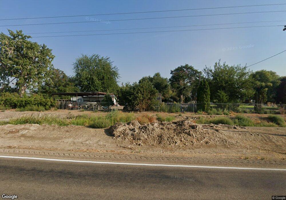
1652 State Highway 19 Homedale, ID 83628
Estimated Value: $424,000 - $529,000
5
Beds
1
Bath
2,295
Sq Ft
$210/Sq Ft
Est. Value
About This Home
This home is located at 1652 State Highway 19, Homedale, ID 83628 and is currently estimated at $482,407, approximately $210 per square foot. 1652 State Highway 19 is a home with nearby schools including Homedale Elementary School, Homedale Middle School, and Homedale High School.
Ownership History
Date
Name
Owned For
Owner Type
Purchase Details
Closed on
Jun 28, 2024
Sold by
Owyhee County
Bought by
Aberasturi Danny and Aberasturi Wendy
Current Estimated Value
Purchase Details
Closed on
May 20, 2009
Sold by
Aberasturi Danny and Aberasturi Wendy
Bought by
Aberasturi Daniel P
Purchase Details
Closed on
May 29, 2008
Sold by
Aberasturi Danny and Aberasturi Wendy
Bought by
Aberasturi Daniel P and Aberasturi Wendy R
Home Financials for this Owner
Home Financials are based on the most recent Mortgage that was taken out on this home.
Original Mortgage
$183,715
Interest Rate
5.87%
Mortgage Type
FHA
Create a Home Valuation Report for This Property
The Home Valuation Report is an in-depth analysis detailing your home's value as well as a comparison with similar homes in the area
Home Values in the Area
Average Home Value in this Area
Purchase History
| Date | Buyer | Sale Price | Title Company |
|---|---|---|---|
| Aberasturi Danny | $198 | None Listed On Document | |
| Aberasturi Daniel P | -- | -- | |
| Aberasturi Daniel P | -- | -- |
Source: Public Records
Mortgage History
| Date | Status | Borrower | Loan Amount |
|---|---|---|---|
| Previous Owner | Aberasturi Daniel P | $183,715 |
Source: Public Records
Tax History Compared to Growth
Tax History
| Year | Tax Paid | Tax Assessment Tax Assessment Total Assessment is a certain percentage of the fair market value that is determined by local assessors to be the total taxable value of land and additions on the property. | Land | Improvement |
|---|---|---|---|---|
| 2024 | -- | $337,258 | $81,718 | $255,540 |
| 2023 | $1,249 | $337,608 | $81,718 | $255,890 |
| 2022 | $1,566 | $353,218 | $81,718 | $271,500 |
| 2021 | $1,149 | $242,325 | $65,295 | $177,030 |
| 2020 | $876 | $181,060 | $38,302 | $142,758 |
| 2019 | $961 | $165,094 | $38,302 | $126,792 |
| 2018 | $963 | $158,711 | $31,919 | $126,792 |
| 2017 | $856 | $158,711 | $31,919 | $126,792 |
| 2016 | $654 | $109,152 | $29,940 | $79,212 |
| 2014 | $557 | $88,492 | $27,121 | $61,371 |
| 2011 | -- | $91,829 | $18,256 | $73,573 |
Source: Public Records
Map
Nearby Homes
- TBD River Rd
- 1212 River Rd
- 0 Tbd Unit 25095901
- 0 Tbd Unit 23668088
- 0 Tbd Unit 11500486
- TBD
- 1006 Hill Rd
- TBD Succor Creek Rd
- 28323 Silo Way
- 2462 Succor Creek Rd
- 318 Packer Ln
- 501 W California Ave
- 4243 Homestead Rd
- 531 W Idaho Ave
- TBD Pioneer Rd
- 428 W Montana Ave
- 412 W Oregon Ave
- TBD L1 W Idaho Ave
- TBD W Idaho Ave
- 330 Packer Ln
- 1656 State Highway 19
- 1731 State Highway 19
- 0 Tbd Hwy 19
- 1871 State Highway 19
- 2798 Gulley Rd
- 1931 State Highway 19
- 2940 Gulley Rd
- 2905 Gulley Rd
- 2644 Gulley Rd
- 1541 State Highway 19
- 1321 State Highway 19
- 1321 State Highway 19
- 2605 Northside Rd
- 2646 Northside Rd
- 2630 Northside Rd
- 2616 Northside Rd
- 2068 Southside Rd
- 2572 Northside Rd
- 2504 Northside Rd
- 2501 Northside Rd