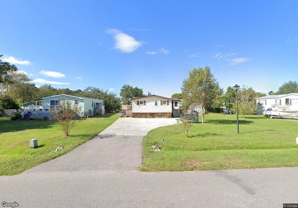
1652 Terns Nest Rd Charleston, SC 29412
James Island NeighborhoodEstimated Value: $476,000 - $618,000
3
Beds
2
Baths
1,454
Sq Ft
$388/Sq Ft
Est. Value
About This Home
This home is located at 1652 Terns Nest Rd, Charleston, SC 29412 and is currently estimated at $564,868, approximately $388 per square foot. 1652 Terns Nest Rd is a home located in Charleston County with nearby schools including James Island Elementary School, Camp Road Middle, and Septima P Clark Corporate Academy.
Ownership History
Date
Name
Owned For
Owner Type
Purchase Details
Closed on
Nov 7, 2024
Sold by
Davis Bradley K and Davis Mary J
Bought by
Bradley K Davis And Mary J Davis Revocable Tr and Davis
Current Estimated Value
Purchase Details
Closed on
Jun 11, 2024
Sold by
Ahst 341 Llc
Bought by
Davis Bradley Keith and Davis Mary Jacobs
Purchase Details
Closed on
Oct 26, 2023
Sold by
Hamilton Jacqueline L
Bought by
Ahst 341 Llc
Purchase Details
Closed on
Oct 20, 2023
Sold by
Hamilton Russell Duncan
Bought by
Hamilton Jacqueline L
Create a Home Valuation Report for This Property
The Home Valuation Report is an in-depth analysis detailing your home's value as well as a comparison with similar homes in the area
Home Values in the Area
Average Home Value in this Area
Purchase History
| Date | Buyer | Sale Price | Title Company |
|---|---|---|---|
| Bradley K Davis And Mary J Davis Revocable Tr | -- | None Listed On Document | |
| Bradley K Davis And Mary J Davis Revocable Tr | -- | None Listed On Document | |
| Davis Bradley Keith | -- | None Listed On Document | |
| Ahst 341 Llc | $400,000 | South Carolina Title | |
| Hamilton Jacqueline L | -- | None Listed On Document |
Source: Public Records
Tax History Compared to Growth
Tax History
| Year | Tax Paid | Tax Assessment Tax Assessment Total Assessment is a certain percentage of the fair market value that is determined by local assessors to be the total taxable value of land and additions on the property. | Land | Improvement |
|---|---|---|---|---|
| 2024 | $6,841 | $24,000 | $0 | $0 |
| 2023 | $6,841 | $5,780 | $0 | $0 |
| 2022 | $844 | $5,780 | $0 | $0 |
| 2021 | $875 | $5,780 | $0 | $0 |
| 2020 | $874 | $5,780 | $0 | $0 |
| 2019 | $1,046 | $4,750 | $0 | $0 |
| 2017 | $981 | $6,750 | $0 | $0 |
| 2016 | $943 | $6,750 | $0 | $0 |
| 2015 | $948 | $6,750 | $0 | $0 |
| 2014 | $804 | $0 | $0 | $0 |
| 2011 | -- | $0 | $0 | $0 |
Source: Public Records
Map
Nearby Homes
- 129 Howard Mary Dr Unit A
- 1984 Folly Rd Unit A307
- 1984 Folly Rd Unit A314
- 1984 Folly Rd Unit A202
- 1624 Wigeon Ln
- 118 Howard Mary Dr Unit 118B
- 1617 Refuge Run
- 133 Alder Cir
- 117 Alder Cir
- 1588 Terns Nest Rd
- 1011 Lighterman Way
- 1621 Folly Creek Way Unit D8
- 1106 Studdingsail Ln
- 1637 Folly Creek Way Unit E12
- 1109 Studdingsail Ln
- 2133 Tides End Rd
- 1821 Folly Rd
- 960 Clearspring Dr
- 1144 Clearspring Dr
- 1153 Clearspring Dr
- 1654 Terns Nest Rd
- 1654 Terns Nest Rd
- 1648 Terns Nest Rd
- 1646 Terns Nest Rd
- 2046 Covey Ln
- 1658 Terns Nest Rd
- 1671 Wading Heron Rd
- 2045 Covey Ln
- 1673 Wading Heron Rd
- 1993 Wild Wing Ln
- 1669 Wading Heron Rd
- 2042 Covey Ln
- 1642 Terns Nest Rd
- 2003 Covey Ln
- 2043 Covey Ln
- 1672 Wading Heron Rd
- 1991 Wild Wing Ln
- 2005 Covey Ln
- 1667 Wading Heron Rd
- 2007 Covey Ln