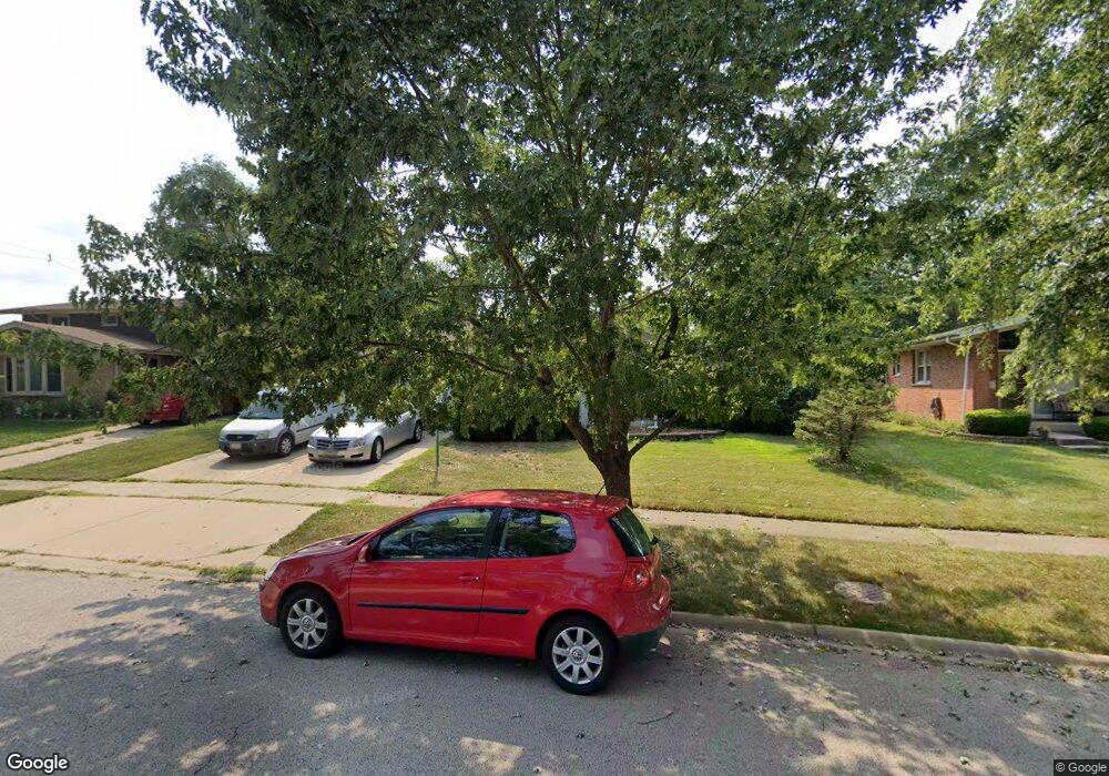
16520 Brockton Ln Oak Forest, IL 60452
Estimated Value: $259,014 - $310,000
2
Beds
2
Baths
1,442
Sq Ft
$198/Sq Ft
Est. Value
About This Home
This home is located at 16520 Brockton Ln, Oak Forest, IL 60452 and is currently estimated at $285,754, approximately $198 per square foot. 16520 Brockton Ln is a home located in Cook County with nearby schools including Fieldcrest Elementary School, Prairie-Hills Junior High School, and Tinley Park High School.
Ownership History
Date
Name
Owned For
Owner Type
Purchase Details
Closed on
Feb 29, 2008
Sold by
Baruch Cheri B
Bought by
Herbert Robert A and Herbert Donna M
Current Estimated Value
Home Financials for this Owner
Home Financials are based on the most recent Mortgage that was taken out on this home.
Original Mortgage
$178,416
Outstanding Balance
$109,772
Interest Rate
5.51%
Mortgage Type
FHA
Estimated Equity
$175,982
Create a Home Valuation Report for This Property
The Home Valuation Report is an in-depth analysis detailing your home's value as well as a comparison with similar homes in the area
Home Values in the Area
Average Home Value in this Area
Purchase History
| Date | Buyer | Sale Price | Title Company |
|---|---|---|---|
| Herbert Robert A | $187,000 | Cti |
Source: Public Records
Mortgage History
| Date | Status | Borrower | Loan Amount |
|---|---|---|---|
| Open | Herbert Robert A | $178,416 |
Source: Public Records
Tax History Compared to Growth
Tax History
| Year | Tax Paid | Tax Assessment Tax Assessment Total Assessment is a certain percentage of the fair market value that is determined by local assessors to be the total taxable value of land and additions on the property. | Land | Improvement |
|---|---|---|---|---|
| 2024 | $5,661 | $21,000 | $3,209 | $17,791 |
| 2023 | $3,768 | $21,000 | $3,209 | $17,791 |
| 2022 | $3,768 | $13,555 | $2,852 | $10,703 |
| 2021 | $3,731 | $13,555 | $2,852 | $10,703 |
| 2020 | $3,855 | $13,555 | $2,852 | $10,703 |
| 2019 | $4,303 | $15,077 | $2,674 | $12,403 |
| 2018 | $3,138 | $15,077 | $2,674 | $12,403 |
| 2017 | $4,082 | $15,077 | $2,674 | $12,403 |
| 2016 | $5,366 | $13,958 | $2,317 | $11,641 |
| 2015 | $5,077 | $13,958 | $2,317 | $11,641 |
| 2014 | $4,984 | $13,958 | $2,317 | $11,641 |
| 2013 | $4,609 | $14,560 | $2,317 | $12,243 |
Source: Public Records
Map
Nearby Homes
- 16524 Brockton Ln
- 16465 Roy St
- 4230 Barry Ln
- 4348 Mann St
- 4316 Mann St
- 16409 Craig Dr
- 4363 Henry St
- 16224 S Cicero Ave
- 16740 Forest Ave
- 3949 168th St
- 16934 Cicero Ave
- 16100 Cicero Ave
- 16104 Oak Ave
- 3936 169th St
- 3830 167th Place
- 3907 168th Place
- 16928 Old Elm Dr
- 3806 168th St
- 3801 167th Place
- 16956 Sunset Ridge Dr
- 16516 Brockton Ln
- 16525 Brenden Ln
- 16521 Brenden Ln
- 16512 Brockton Ln
- 16526 Brockton Ln
- 16517 Brenden Ln
- 16533 Brenden Ln
- 16523 Brockton Ln
- 16508 Brockton Ln
- 16519 Brockton Ln
- 16537 Brenden Ln
- 16513 Brenden Ln
- 16515 Brockton Ln
- 16509 Brenden Ln
- 16504 Brockton Ln
- 16520 Brenden Ln
- 16511 Brockton Ln
- 16516 Brenden Ln
- 16524 Brenden Ln
- 16512 Brenden Ln