16521 W Austin Rd Manchester, MI 48158
Estimated Value: $549,000 - $1,457,599
3
Beds
2
Baths
2,980
Sq Ft
$341/Sq Ft
Est. Value
About This Home
This home is located at 16521 W Austin Rd, Manchester, MI 48158 and is currently estimated at $1,016,533, approximately $341 per square foot. 16521 W Austin Rd is a home located in Washtenaw County with nearby schools including Luther C. Klager Elementary School, Riverside Intermediate School, and Manchester Junior & High School.
Ownership History
Date
Name
Owned For
Owner Type
Purchase Details
Closed on
Jan 1, 2020
Sold by
Stafford Walter J and Stafford Lori A
Bought by
Black Dirt Llc
Current Estimated Value
Purchase Details
Closed on
Mar 30, 2012
Sold by
Estate Of Glynn Trolz
Bought by
Safford Walter J and Stafford Lori A
Home Financials for this Owner
Home Financials are based on the most recent Mortgage that was taken out on this home.
Original Mortgage
$825,000
Interest Rate
3.9%
Mortgage Type
New Conventional
Create a Home Valuation Report for This Property
The Home Valuation Report is an in-depth analysis detailing your home's value as well as a comparison with similar homes in the area
Home Values in the Area
Average Home Value in this Area
Purchase History
| Date | Buyer | Sale Price | Title Company |
|---|---|---|---|
| Black Dirt Llc | -- | None Available | |
| Safford Walter J | $1,250,000 | None Available |
Source: Public Records
Mortgage History
| Date | Status | Borrower | Loan Amount |
|---|---|---|---|
| Previous Owner | Safford Walter J | $825,000 |
Source: Public Records
Tax History Compared to Growth
Tax History
| Year | Tax Paid | Tax Assessment Tax Assessment Total Assessment is a certain percentage of the fair market value that is determined by local assessors to be the total taxable value of land and additions on the property. | Land | Improvement |
|---|---|---|---|---|
| 2025 | $11,104 | $597,700 | $0 | $0 |
| 2024 | $3,566 | $557,650 | $0 | $0 |
| 2023 | $3,159 | $517,550 | $0 | $0 |
| 2022 | $10,593 | $503,050 | $0 | $0 |
| 2021 | $10,287 | $489,350 | $0 | $0 |
| 2020 | $10,146 | $471,500 | $0 | $0 |
| 2019 | $9,879 | $471,450 | $471,450 | $0 |
| 2018 | $9,678 | $462,250 | $0 | $0 |
| 2017 | $9,253 | $455,150 | $0 | $0 |
| 2016 | $2,716 | $255,596 | $0 | $0 |
| 2015 | -- | $251,342 | $0 | $0 |
| 2014 | -- | $243,489 | $0 | $0 |
| 2013 | -- | $243,489 | $0 | $0 |
Source: Public Records
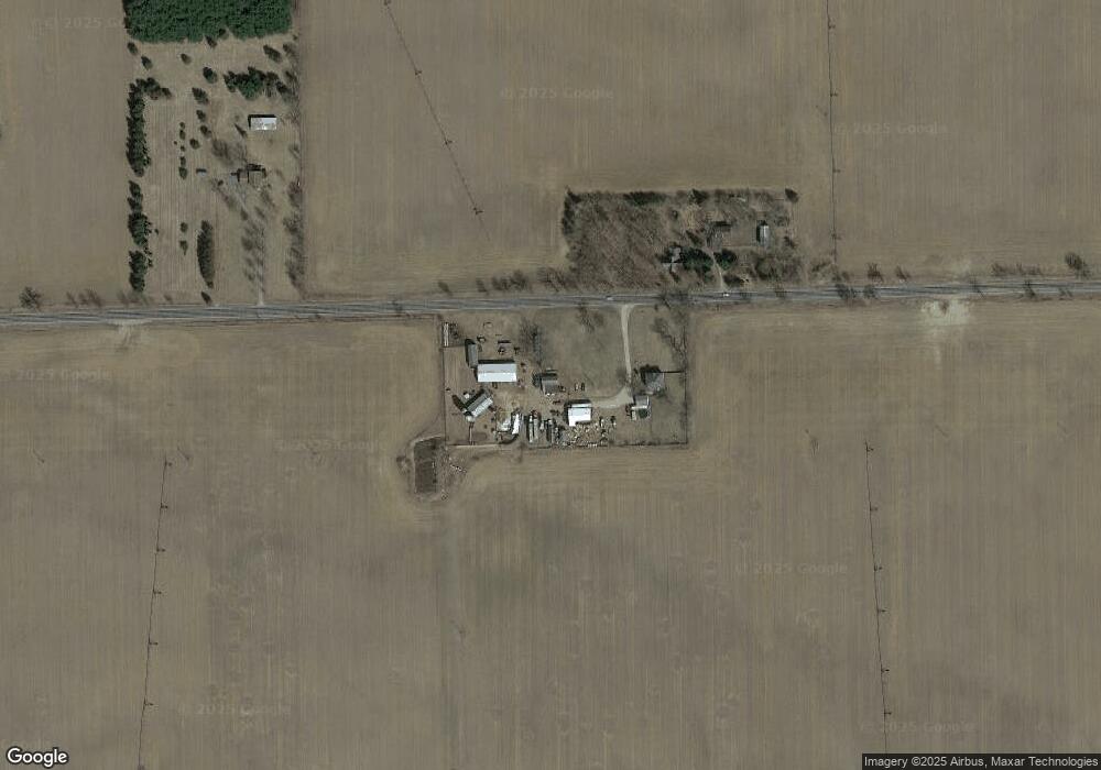
Map
Nearby Homes
- 0 Wildlife Ridge
- 17180 Country Drive
- 17105 Country Dr
- 17110 Country Dr
- Integrity 2280 Plan at Rolling Meadows of Manchester
- 1014 Deer Valley Ln
- 0 Noggles Rd Unit 25008605
- 0 Noggles Rd Unit 25008604
- 0 Walkowe Unit 25029616
- 9923 Sharon Hollow Rd
- 8220 Grossman Rd
- 17045 Mahrle Rd
- 1 Noggles Rd
- 18073 Sharon Valley Rd
- 685 Wald Strasse St
- 9700 Grossman Rd
- 545 W Main St
- 18249 Bethel Church Rd
- 517 W Main St
- 19272 Sandborn Rd
- 16530 W Austin Rd
- 16160 W Austin Rd
- 16000 W Austin Rd
- 15999 W Austin Rd
- 15867 W Austin Rd
- 7663 Lamb Rd
- 7780 Lamb Rd
- 7772 Lamb Rd
- 7651 Lamb Rd
- 16165 Buss Rd
- 16159 Buss Rd
- 16924 W Austin Rd
- 7748 Sunset Dr
- 16155 Buss Rd
- 7756 Sunset Dr
- W Austin Rd
- 0 Ahrens Ln Unit 4011288
- 0 Ahrens Ln Unit 4012989
- 0 Ahrens Ln Unit 4013403
- 0 Ahrens Ln Unit 4013385