1653 Deep Run Rd Greenville, NC 27834
Estimated Value: $838,000 - $2,024,187
5
Beds
5
Baths
10,155
Sq Ft
$144/Sq Ft
Est. Value
About This Home
This home is located at 1653 Deep Run Rd, Greenville, NC 27834 and is currently estimated at $1,465,062, approximately $144 per square foot. 1653 Deep Run Rd is a home located in Pitt County with nearby schools including Falkland Elementary School, Farmville Middle School, and Farmville Central High School.
Ownership History
Date
Name
Owned For
Owner Type
Purchase Details
Closed on
Aug 3, 2005
Sold by
Taft Richard C and Taft Cheryi L
Bought by
Davis Gregory B
Current Estimated Value
Home Financials for this Owner
Home Financials are based on the most recent Mortgage that was taken out on this home.
Original Mortgage
$126,500
Outstanding Balance
$65,810
Interest Rate
5.51%
Mortgage Type
Purchase Money Mortgage
Estimated Equity
$1,399,252
Create a Home Valuation Report for This Property
The Home Valuation Report is an in-depth analysis detailing your home's value as well as a comparison with similar homes in the area
Home Values in the Area
Average Home Value in this Area
Purchase History
| Date | Buyer | Sale Price | Title Company |
|---|---|---|---|
| Davis Gregory B | $180,000 | None Available |
Source: Public Records
Mortgage History
| Date | Status | Borrower | Loan Amount |
|---|---|---|---|
| Open | Davis Gregory B | $126,500 | |
| Closed | Davis Gregory B | $36,000 |
Source: Public Records
Tax History Compared to Growth
Tax History
| Year | Tax Paid | Tax Assessment Tax Assessment Total Assessment is a certain percentage of the fair market value that is determined by local assessors to be the total taxable value of land and additions on the property. | Land | Improvement |
|---|---|---|---|---|
| 2025 | $11,071 | $1,548,158 | $271,500 | $1,276,658 |
| 2024 | $11,059 | $1,548,158 | $271,500 | $1,276,658 |
| 2023 | $9,032 | $1,087,511 | $177,900 | $909,611 |
| 2022 | $9,077 | $1,087,511 | $177,900 | $909,611 |
| 2021 | $9,032 | $1,087,511 | $177,900 | $909,611 |
| 2020 | $9,086 | $1,087,511 | $177,900 | $909,611 |
| 2019 | $9,305 | $1,077,116 | $207,900 | $869,216 |
| 2018 | $8,925 | $1,077,116 | $207,900 | $869,216 |
| 2017 | $8,925 | $1,077,116 | $207,900 | $869,216 |
| 2016 | $8,817 | $1,077,116 | $207,900 | $869,216 |
| 2015 | $8,775 | $1,144,600 | $206,325 | $938,275 |
| 2014 | $8,775 | $1,144,600 | $206,325 | $938,275 |
Source: Public Records
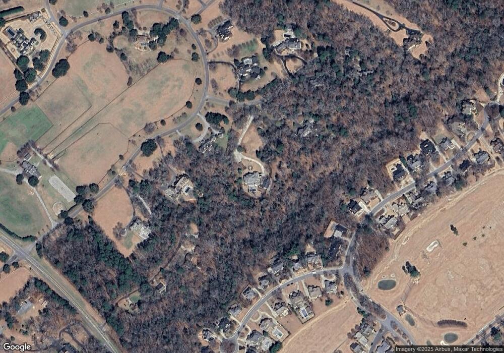
Map
Nearby Homes
- 301 Woodspring Ln
- 541 White Horse Dr
- 3508 Rockwood Ct
- 3705 Prestwick Place
- 951 White Horse Dr
- 3721 Prestwick Place
- 623 White Horse Dr
- 2034 Lawrence Run Dr
- 621 V O A Site C Rd
- 2564 Old River Rd
- 3192 N Carolina 43
- 1901 Interstate 587
- 1458 Forest Acres Dr
- 1429 Forest Acres Dr
- 920 Benjamin Dr
- 3225 Carr Dr
- Pearson Plan at Carter Ridge - The Townes
- BELHAVEN Plan at Carter Ridge
- Robie Plan at Carter Ridge
- Hayden Plan at Carter Ridge
- 1804 Blue Banks Farm Rd
- 1645 Deep Run Rd
- 465 Moss Point Ln
- 1776 Blue Banks Farm Rd
- 306 Woodspring Ln
- 304 Woodspring Ln
- 413 Moss Point Ln
- 302 Woodspring Ln
- 4426 Oaksong Dr
- 4426 Oaksong Dr
- 308 Woodspring Ln
- 1830 Blue Banks Farm Rd
- 0 Woodspring Ln
- 310 Woodspring Ln
- 4420 Oaksong Dr
- 1748 Blue Banks Farm Rd
- 1623 Deep Run Rd
- 305 Woodspring Ln
- 303 Woodspring Ln
- 312 Woodspring Ln