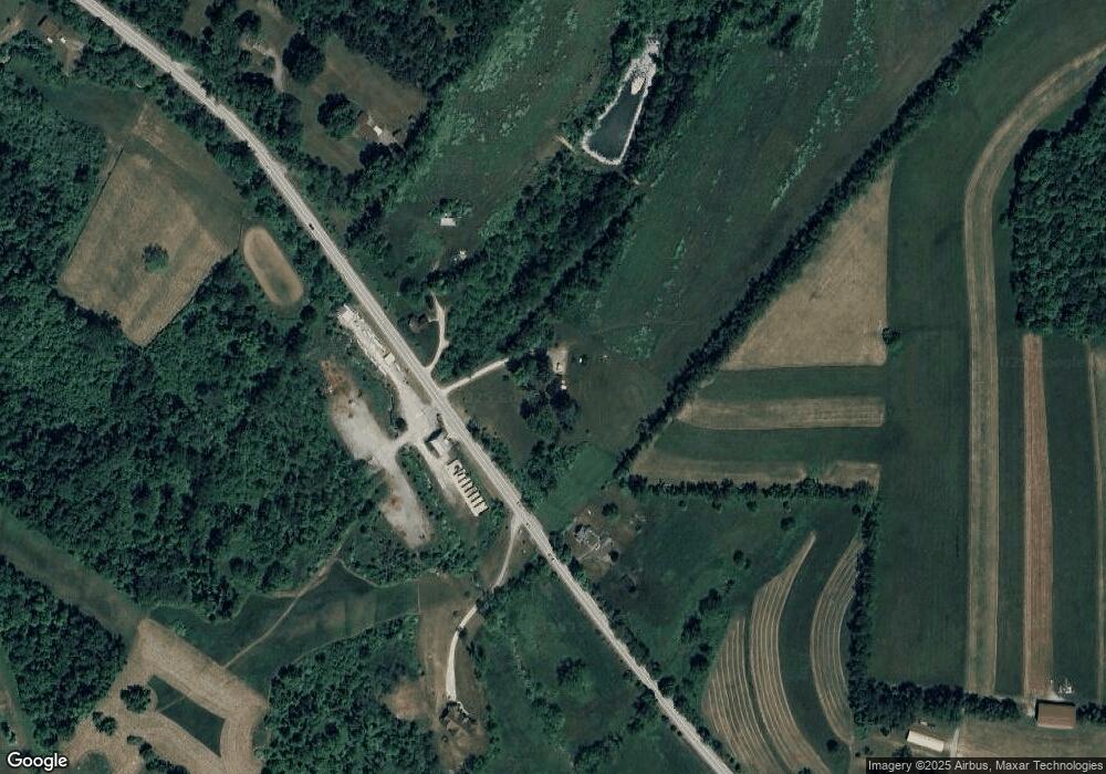
1653 Route 519 Canonsburg, PA 15317
Estimated Value: $175,000 - $199,000
1
Bed
2
Baths
1,016
Sq Ft
$185/Sq Ft
Est. Value
About This Home
This home is located at 1653 Route 519, Canonsburg, PA 15317 and is currently estimated at $187,468, approximately $184 per square foot. 1653 Route 519 is a home located in Washington County with nearby schools including Canon-Mcmillan Senior High School.
Ownership History
Date
Name
Owned For
Owner Type
Purchase Details
Closed on
Jan 9, 2008
Sold by
Barnickel Herbert D
Bought by
Rhodes Connie and Clutter,Douglas W
Current Estimated Value
Home Financials for this Owner
Home Financials are based on the most recent Mortgage that was taken out on this home.
Original Mortgage
$85,360
Outstanding Balance
$54,021
Interest Rate
6.21%
Mortgage Type
New Conventional
Estimated Equity
$133,447
Create a Home Valuation Report for This Property
The Home Valuation Report is an in-depth analysis detailing your home's value as well as a comparison with similar homes in the area
Home Values in the Area
Average Home Value in this Area
Purchase History
| Date | Buyer | Sale Price | Title Company |
|---|---|---|---|
| Rhodes Connie | $88,000 | -- |
Source: Public Records
Mortgage History
| Date | Status | Borrower | Loan Amount |
|---|---|---|---|
| Open | Rhodes Connie | $85,360 |
Source: Public Records
Tax History Compared to Growth
Tax History
| Year | Tax Paid | Tax Assessment Tax Assessment Total Assessment is a certain percentage of the fair market value that is determined by local assessors to be the total taxable value of land and additions on the property. | Land | Improvement |
|---|---|---|---|---|
| 2025 | $2,619 | $127,800 | $36,600 | $91,200 |
| 2024 | $2,302 | $127,800 | $36,600 | $91,200 |
| 2023 | $2,302 | $127,800 | $36,600 | $91,200 |
| 2022 | $2,228 | $127,800 | $36,600 | $91,200 |
| 2021 | $2,196 | $127,800 | $36,600 | $91,200 |
| 2020 | $2,196 | $127,800 | $36,600 | $91,200 |
| 2019 | $2,139 | $127,800 | $36,600 | $91,200 |
| 2018 | $2,176 | $127,800 | $36,600 | $91,200 |
| 2017 | $289 | $127,800 | $36,600 | $91,200 |
| 2016 | $289 | $11,594 | $1,625 | $9,969 |
| 2015 | -- | $11,594 | $1,625 | $9,969 |
| 2014 | $289 | $11,594 | $1,625 | $9,969 |
| 2013 | $289 | $11,594 | $1,625 | $9,969 |
Source: Public Records
Map
Nearby Homes
- 0 Route 519 Unit 1706095
- Lot 1 Linden Rd
- 000 Linden Rd
- 207 Linden Rd
- 226 Chubbic Rd
- 353 Linnwood Rd
- 22 Belen Cir
- 22 Belen Hill Cir
- 119 Linden Rd
- 104 Linden Rd
- 215 Sierra Dr
- 53 Linden Rd
- 0 Linden Creek Rd
- 340 Crossing Dr
- 60 Carl Ave
- 2002 Overlook Ct
- 2006 Overlook Ct
- 10 Marie St
- 2105 Majestic Dr
- 931 Royal Ct
- 1653 Route 519
- 1652 Route 519
- 1645 Route 519
- 1645 Pennsylvania 519
- 1648 Route 519
- 1652 Pennsylvania 519
- 1687 Route 519
- 1687 Route 519
- 1669 Pennsylvania 519
- 1605 Route 519
- 1729 Route 519
- 1729 Route 519
- 1720 Pennsylvania 519
- LOT Pennsylvania 519
- 1904 Pennsylvania 519
- Lots 201 & 201A Pennsylvania 519
- 49 Linn Farm Rd
- 41 Linn Farm Rd
- 730 Linwood Rd
- 33 Linn Farm Rd
