1653 Welland St Unit 15 Howell, MI 48855
Estimated Value: $226,000 - $274,000
2
Beds
2
Baths
1,359
Sq Ft
$175/Sq Ft
Est. Value
About This Home
This home is located at 1653 Welland St Unit 15, Howell, MI 48855 and is currently estimated at $238,465, approximately $175 per square foot. 1653 Welland St Unit 15 is a home located in Livingston County with nearby schools including Voyager Elementary School, Highlander Way Middle School, and Howell High School.
Ownership History
Date
Name
Owned For
Owner Type
Purchase Details
Closed on
Jan 24, 2022
Sold by
Conatser Beverly J
Bought by
Conatser Beverly J
Current Estimated Value
Purchase Details
Closed on
May 13, 2020
Sold by
Garrard Robert
Bought by
Conatser Beverly S
Create a Home Valuation Report for This Property
The Home Valuation Report is an in-depth analysis detailing your home's value as well as a comparison with similar homes in the area
Home Values in the Area
Average Home Value in this Area
Purchase History
| Date | Buyer | Sale Price | Title Company |
|---|---|---|---|
| Conatser Beverly J | -- | Matecun Thomas & Olson Plc | |
| Conatser Beverly S | $150,000 | Leading Edge Title Agency |
Source: Public Records
Tax History Compared to Growth
Tax History
| Year | Tax Paid | Tax Assessment Tax Assessment Total Assessment is a certain percentage of the fair market value that is determined by local assessors to be the total taxable value of land and additions on the property. | Land | Improvement |
|---|---|---|---|---|
| 2025 | $3,029 | $103,900 | $0 | $0 |
| 2024 | $4,657 | $94,200 | $0 | $0 |
| 2023 | $2,394 | $87,900 | $0 | $0 |
| 2022 | -- | $72,700 | $0 | $0 |
| 2021 | $2,590 | $77,900 | $0 | $0 |
| 2020 | $2,621 | $74,700 | $0 | $0 |
| 2019 | $2,590 | $68,100 | $0 | $0 |
| 2018 | $2,554 | $64,900 | $0 | $0 |
| 2017 | $1,272 | $64,900 | $0 | $0 |
| 2016 | $1,271 | $64,400 | $0 | $0 |
| 2014 | $1,146 | $40,800 | $0 | $0 |
| 2012 | $1,146 | $30,300 | $0 | $0 |
Source: Public Records
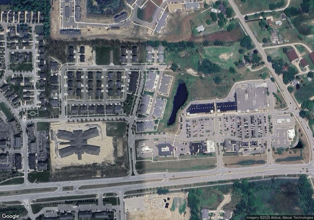
Map
Nearby Homes
- 1773 Welland St
- Howden A Plan at Howden Meadows
- Howden B Plan at Howden Meadows
- 386 Dorchester Dr
- 505 W Highland Rd
- 304 Victoria Park Dr Unit 45
- 1728 Town Commons Dr Unit 65
- 1627 Ashfield St
- 631 Grafton Ln
- 592 Olde English Cir
- 2185 Armond Rd
- 610 Olde English Cir Unit 66
- 642 Olde English Cir Unit 54
- 1257 Byron Rd
- 1016 Curzon St
- 823 Alger St
- 2424 Fisher Rd
- 516 Factory St
- 809 N Michigan Ave
- 2500 Fisher Rd
- 1653 Welland St
- 1655 Welland St
- 1651 Welland St Unit 14
- 1651 Welland St
- 1665 Welland St
- 1665 Welland St Unit 21
- 1667 Welland St
- 1663 Welland St Unit Bldg-Unit
- 1663 Welland St
- 1657 Welland St
- 1657 Welland St Unit 17
- 1649 Welland St
- 1649 Welland St Unit 13
- 1669 Welland St
- 1661 Welland St
- 1659 Welland St Unit Bldg-Unit
- 1659 Welland St
- 1671 Welland St Unit 24
- 1671 Welland St
- 1717 Welland St