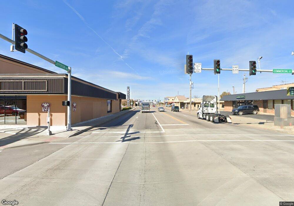
16530 Highway B Lebanon, MO 65536
Estimated Value: $258,000 - $426,144
--
Bed
1
Bath
1,837
Sq Ft
$185/Sq Ft
Est. Value
About This Home
This home is located at 16530 Highway B, Lebanon, MO 65536 and is currently estimated at $340,048, approximately $185 per square foot. 16530 Highway B is a home located in Laclede County with nearby schools including Joe D. Esther Elementary School, Maplecrest Elementary School, and Boswell Elementary School.
Ownership History
Date
Name
Owned For
Owner Type
Purchase Details
Closed on
Aug 29, 2022
Sold by
Dawn Allen Toni and Dawn Kevin C
Bought by
Earl Rd Swantz Revocable Trust
Current Estimated Value
Purchase Details
Closed on
May 8, 2008
Sold by
Hooks Michael D
Bought by
Johnson Ronnie and Johnson Jeannie
Home Financials for this Owner
Home Financials are based on the most recent Mortgage that was taken out on this home.
Original Mortgage
$135,787
Interest Rate
5.86%
Mortgage Type
Future Advance Clause Open End Mortgage
Purchase Details
Closed on
Mar 24, 2005
Sold by
Clift & Clift Contracting Llc
Bought by
Johnson Ronnie and Johnson Jeannie
Home Financials for this Owner
Home Financials are based on the most recent Mortgage that was taken out on this home.
Original Mortgage
$75,500
Interest Rate
5.67%
Mortgage Type
Commercial
Create a Home Valuation Report for This Property
The Home Valuation Report is an in-depth analysis detailing your home's value as well as a comparison with similar homes in the area
Home Values in the Area
Average Home Value in this Area
Purchase History
| Date | Buyer | Sale Price | Title Company |
|---|---|---|---|
| Earl Rd Swantz Revocable Trust | -- | Hogan Land Title | |
| Johnson Ronnie | -- | Jeffries Abstract & Title In | |
| Johnson Ronnie | -- | None Available |
Source: Public Records
Mortgage History
| Date | Status | Borrower | Loan Amount |
|---|---|---|---|
| Previous Owner | Johnson Ronnie | $135,787 | |
| Previous Owner | Johnson Ronnie | $75,500 |
Source: Public Records
Tax History Compared to Growth
Tax History
| Year | Tax Paid | Tax Assessment Tax Assessment Total Assessment is a certain percentage of the fair market value that is determined by local assessors to be the total taxable value of land and additions on the property. | Land | Improvement |
|---|---|---|---|---|
| 2025 | $1,030 | $20,750 | $0 | $0 |
| 2024 | $1,030 | $18,880 | $0 | $0 |
| 2023 | $1,025 | $18,900 | $0 | $0 |
| 2022 | $513 | $9,450 | $0 | $0 |
| 2021 | $499 | $6,432 | $1,824 | $4,608 |
| 2020 | $501 | $6,432 | $1,824 | $4,608 |
| 2019 | $477 | $9,450 | $2,470 | $6,980 |
| 2018 | $446 | $9,510 | $2,530 | $6,980 |
| 2017 | $396 | $9,010 | $0 | $0 |
| 2016 | $396 | $9,010 | $0 | $0 |
| 2015 | $396 | $9,010 | $0 | $0 |
| 2014 | $396 | $8,970 | $0 | $0 |
| 2013 | -- | $8,970 | $0 | $0 |
Source: Public Records
Map
Nearby Homes
- 16311 Sunburst Rd
- 18388 Highway B
- 29325 Highway O
- 19838 Sioux Dr
- 16551 Highway Z
- 0 2nd Ave Unit HD25008627
- 28670 Emery Rd
- 000 Berry Rd
- 13835 Hwy Z
- 10090 Highway Tt
- 31210 Highway O
- 31210 Hwy O
- 000 State Highway Z
- 24901 Englewood Ln
- 10820 Sunflower Ln
- 18397 Highway Hh
- 19395 Ripley Dr
- 0 State Highway Ac
- 29455 Highway Ac
- 0 Highway Ac Unit MAR25023865
- 0 Tulsa Dr Unit 18070771
- 0 Tulsa Dr Unit 17023921
- 0 Tulsa Dr Unit 21121
- 16375 Highway B
- 16450 Highway B
- 16309 Sunburst Rd
- 16650 Highway B
- 16650 Highway B
- 16800 Highway B
- 16250 Highway B
- 16093 Tulsa Dr
- 16093 Tulsa Dr
- 16966 Highway B
- 0 Hwy B #2 Unit 23058598
- 0 Hwy B Unit 23006876
- 0 Hwy B Unit 22033429
- 0 Hwy B Unit 22030497
- 000 Highway B #2
- 16090 Highway B
- 17039 Highway B
