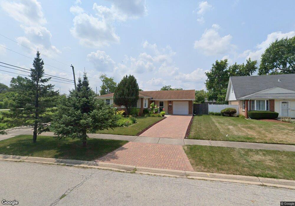
16532 Brenden Ln Oak Forest, IL 60452
Estimated Value: $266,000 - $289,000
4
Beds
3
Baths
1,461
Sq Ft
$190/Sq Ft
Est. Value
About This Home
This home is located at 16532 Brenden Ln, Oak Forest, IL 60452 and is currently estimated at $277,600, approximately $190 per square foot. 16532 Brenden Ln is a home located in Cook County with nearby schools including Fieldcrest Elementary School, Prairie-Hills Junior High School, and Tinley Park High School.
Ownership History
Date
Name
Owned For
Owner Type
Purchase Details
Closed on
Feb 17, 2004
Sold by
Mancione Suzanne M and Ostrowski Suzanne
Bought by
Ostrowski Thomas P
Current Estimated Value
Home Financials for this Owner
Home Financials are based on the most recent Mortgage that was taken out on this home.
Original Mortgage
$93,300
Interest Rate
5.85%
Mortgage Type
Credit Line Revolving
Create a Home Valuation Report for This Property
The Home Valuation Report is an in-depth analysis detailing your home's value as well as a comparison with similar homes in the area
Home Values in the Area
Average Home Value in this Area
Purchase History
| Date | Buyer | Sale Price | Title Company |
|---|---|---|---|
| Ostrowski Thomas P | -- | -- | |
| Ostrowski Thomas P | -- | First American |
Source: Public Records
Mortgage History
| Date | Status | Borrower | Loan Amount |
|---|---|---|---|
| Closed | Ostrowski Thomas P | $93,300 |
Source: Public Records
Tax History
| Year | Tax Paid | Tax Assessment Tax Assessment Total Assessment is a certain percentage of the fair market value that is determined by local assessors to be the total taxable value of land and additions on the property. | Land | Improvement |
|---|---|---|---|---|
| 2025 | $4,908 | $19,000 | $3,738 | $15,262 |
| 2024 | $4,908 | $19,000 | $3,738 | $15,262 |
| 2023 | $3,951 | $19,000 | $3,738 | $15,262 |
| 2022 | $3,951 | $13,916 | $3,323 | $10,593 |
| 2021 | $3,909 | $13,915 | $3,322 | $10,593 |
| 2020 | $4,030 | $13,915 | $3,322 | $10,593 |
| 2019 | $4,391 | $15,259 | $3,115 | $12,144 |
| 2018 | $5,612 | $15,259 | $3,115 | $12,144 |
| 2017 | $5,390 | $15,259 | $3,115 | $12,144 |
| 2016 | $5,461 | $14,159 | $2,699 | $11,460 |
| 2015 | $5,167 | $14,159 | $2,699 | $11,460 |
| 2014 | $5,072 | $14,159 | $2,699 | $11,460 |
| 2013 | $4,635 | $14,626 | $2,699 | $11,927 |
Source: Public Records
Map
Nearby Homes
- 16520 Brockton Ln
- 4428 Lisa Ln
- 16465 Roy St
- 4351 Scott St
- 16465 Terry Ln
- 4230 Barry Ln
- 16409 Craig Dr
- 16400 Roy St
- 4645 Milford Ave
- 16224 S Cicero Ave
- 4850 162nd St
- 3936 169th St
- 16904 Old Elm Dr
- 5113 Coulter Rd
- 16037 Springfield Ave
- 16824 Meadowdale Dr
- 3831 168th St
- 16928 Old Elm Dr
- 16843 Briargate Dr
- 3736 168th Place
- 16528 Brenden Ln
- 16531 Craig Dr
- 16535 Craig Dr
- 16524 Brenden Ln
- 16525 Craig Dr
- 16533 Brenden Ln
- 16521 Craig Dr
- 16537 Brenden Ln
- 16517 Craig Dr
- 16516 Brenden Ln
- 16525 Brenden Ln
- 4400 Lisa Ln
- 4415 Lisa Ln
- 16515 Craig Dr
- 16524 Craig Dr
- 16524 Brockton Ln
- 16521 Brenden Ln
- 16526 Brockton Ln
- 16520 Craig Dr
- 16512 Brenden Ln