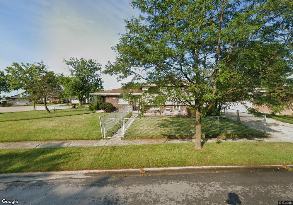
16532 Terry Ct Oak Forest, IL 60452
Estimated Value: $257,000 - $280,000
3
Beds
3
Baths
1,277
Sq Ft
$210/Sq Ft
Est. Value
About This Home
This home is located at 16532 Terry Ct, Oak Forest, IL 60452 and is currently estimated at $268,577, approximately $210 per square foot. 16532 Terry Ct is a home located in Cook County with nearby schools including Fieldcrest Elementary School, Prairie-Hills Junior High School, and Tinley Park High School.
Ownership History
Date
Name
Owned For
Owner Type
Purchase Details
Closed on
Sep 24, 1999
Sold by
Taylor John D and Taylor Kathy O
Bought by
Turner Marcellus and Turner Effie O
Current Estimated Value
Home Financials for this Owner
Home Financials are based on the most recent Mortgage that was taken out on this home.
Original Mortgage
$30,000
Interest Rate
7.93%
Create a Home Valuation Report for This Property
The Home Valuation Report is an in-depth analysis detailing your home's value as well as a comparison with similar homes in the area
Home Values in the Area
Average Home Value in this Area
Purchase History
| Date | Buyer | Sale Price | Title Company |
|---|---|---|---|
| Turner Marcellus | $120,000 | -- |
Source: Public Records
Mortgage History
| Date | Status | Borrower | Loan Amount |
|---|---|---|---|
| Closed | Turner Marcellus | $30,000 |
Source: Public Records
Tax History Compared to Growth
Tax History
| Year | Tax Paid | Tax Assessment Tax Assessment Total Assessment is a certain percentage of the fair market value that is determined by local assessors to be the total taxable value of land and additions on the property. | Land | Improvement |
|---|---|---|---|---|
| 2024 | $1,218 | $22,000 | $3,699 | $18,301 |
| 2023 | $1,699 | $22,000 | $3,699 | $18,301 |
| 2022 | $1,699 | $16,610 | $3,288 | $13,322 |
| 2021 | $1,603 | $16,609 | $3,288 | $13,321 |
| 2020 | $1,464 | $16,609 | $3,288 | $13,321 |
| 2019 | $1,617 | $16,362 | $3,082 | $13,280 |
| 2018 | $1,591 | $16,362 | $3,082 | $13,280 |
| 2017 | $1,493 | $16,362 | $3,082 | $13,280 |
| 2016 | $2,632 | $14,517 | $2,671 | $11,846 |
| 2015 | $2,644 | $14,517 | $2,671 | $11,846 |
| 2014 | $2,530 | $14,517 | $2,671 | $11,846 |
| 2013 | $2,287 | $16,393 | $2,671 | $13,722 |
Source: Public Records
Map
Nearby Homes
- 16465 Roy St
- 4401 Adele Ln
- 16453 Harold St
- 16520 Brenden Ln
- 16524 Brockton Ln
- 16409 Craig Dr
- 4348 Mann St
- 16740 Forest Ave
- 4363 Henry St
- 4316 Mann St
- 4230 Barry Ln
- 16224 S Cicero Ave
- 16934 Cicero Ave
- 16938 Cicero Ave
- 5112 Deerpath Rd Unit 4
- 16104 Oak Ave
- 5103 Elmwood Rd
- 5185 Greentree Rd
- 5256 169th Place
- 15240 S Cicero Ave
- 16534 Terry Ct
- 16528 George Dr
- 16516 Terry Ln
- 16536 Terry Ct
- 16535 Terry Ct
- 16520 George Dr
- 16515 George Dr
- 16519 Terry Ln
- 16551 Lockridge Ave
- 16561 Lockridge Ave
- 16538 Terry Ct
- 16537 Terry Ct
- 16539 Terry Ct
- 16541 Lockridge Ave
- 16601 Lockridge Ave
- 16512 Terry Ln
- 16512 George Dr
- 16531 Lockridge Ave
- 16511 George Dr
- 16611 Lockridge Ave