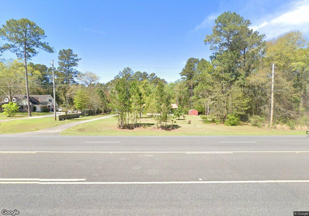
16543 Hwy 319 N Thomasville, GA 31757
Estimated Value: $230,000 - $284,000
3
Beds
2
Baths
1,504
Sq Ft
$167/Sq Ft
Est. Value
About This Home
This home is located at 16543 Hwy 319 N, Thomasville, GA 31757 and is currently estimated at $250,815, approximately $166 per square foot. 16543 Hwy 319 N is a home located in Thomas County with nearby schools including Hand in Hand Primary School, Cross Creek Elementary School, and Garrison-Pilcher Elementary School.
Ownership History
Date
Name
Owned For
Owner Type
Purchase Details
Closed on
Nov 14, 2014
Sold by
Johnson Deeann B
Bought by
Mcclendon Winton D
Current Estimated Value
Home Financials for this Owner
Home Financials are based on the most recent Mortgage that was taken out on this home.
Original Mortgage
$110,000
Outstanding Balance
$84,264
Interest Rate
4%
Mortgage Type
VA
Estimated Equity
$166,551
Purchase Details
Closed on
Dec 20, 1996
Bought by
Johnson Douglas H
Create a Home Valuation Report for This Property
The Home Valuation Report is an in-depth analysis detailing your home's value as well as a comparison with similar homes in the area
Home Values in the Area
Average Home Value in this Area
Purchase History
| Date | Buyer | Sale Price | Title Company |
|---|---|---|---|
| Mcclendon Winton D | $110,000 | -- | |
| Johnson Douglas H | $89,900 | -- |
Source: Public Records
Mortgage History
| Date | Status | Borrower | Loan Amount |
|---|---|---|---|
| Open | Mcclendon Winton D | $110,000 |
Source: Public Records
Tax History Compared to Growth
Tax History
| Year | Tax Paid | Tax Assessment Tax Assessment Total Assessment is a certain percentage of the fair market value that is determined by local assessors to be the total taxable value of land and additions on the property. | Land | Improvement |
|---|---|---|---|---|
| 2024 | $1,643 | $79,603 | $7,836 | $71,767 |
| 2023 | $1,473 | $73,102 | $6,269 | $66,833 |
| 2022 | $1,390 | $64,201 | $6,269 | $57,932 |
| 2021 | $1,280 | $53,954 | $5,452 | $48,502 |
| 2020 | $1,276 | $52,506 | $5,452 | $47,054 |
| 2019 | $1,290 | $52,506 | $5,452 | $47,054 |
| 2018 | $1,281 | $51,129 | $5,452 | $45,677 |
| 2017 | $1,302 | $51,169 | $5,452 | $45,717 |
| 2016 | $1,273 | $49,706 | $5,452 | $44,254 |
| 2015 | $1,137 | $48,979 | $5,452 | $43,528 |
| 2014 | $1,298 | $48,000 | $5,452 | $42,548 |
| 2013 | -- | $48,000 | $5,451 | $42,548 |
Source: Public Records
Map
Nearby Homes
- 125 Lost Creek Ln
- 113 Lost Creek Ln
- 107 Andee Way
- 3417 Hall
- 101 Sweetbriar Lakes Dr
- 100 Sweetbriar Lakes Dr
- 13310 N Us Hwy 319
- 154 Willow Ridge Cir
- 103 Sandy Creek Ln
- 101 Sandy Creek Ln
- 111 Willow Ridge Cir
- 108 Willow Ridge Cir
- 221 Ginger Ln
- 148 Cypress Ln
- 7216 Ga Highway 202
- 7216 Georgia 202
- 102 Palm Island Dr
- 104 Palm Island Dr
- 110 Palm Island Dr
- 0000 Sanford Road (47 83 Acres)
- 16543 Us Highway 319 N
- 16507 Us Highway 319 N
- 16455 Us Highway 319 N
- 65 Hagan Ln
- 16378 Us Highway 319 N
- 1804 Newton Rd
- 350 Hubbard Ln Unit 9.24 ACRES
- 350 Hubbard Ln (9 24 Acres)
- 350/354 Hubbard (2 Homes 11 24 Acres)
- 350 Hubbard Ln
- 354 Hubbard Ln
- 354 Hubbard Ln
- 350 Hubbard Ln - 9 24 Acres
- 350 Hubbard (9 24 Acres) Ln
- 350 Hubbard (2 Homes 11 24 Acres) Ln
- 1753 Newton Rd
- 173 Saint Paul Rd
- 1833 Newton Rd
- 494 Hubbard Ln
- 50 Connie Ln