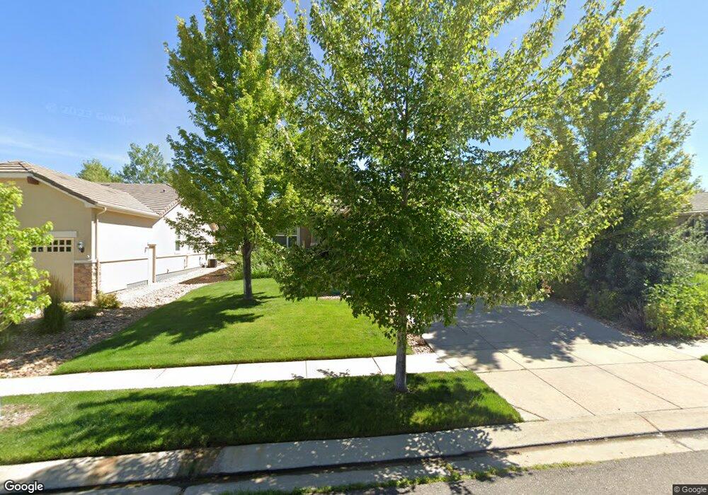
16544 Sherman Way Broomfield, CO 80023
Anthem NeighborhoodEstimated Value: $678,161 - $705,000
2
Beds
2
Baths
1,670
Sq Ft
$416/Sq Ft
Est. Value
About This Home
This home is located at 16544 Sherman Way, Broomfield, CO 80023 and is currently estimated at $694,790, approximately $416 per square foot. 16544 Sherman Way is a home located in Broomfield County with nearby schools including Thunder Vista P-8, Legacy High School, and Prospect Ridge Academy.
Ownership History
Date
Name
Owned For
Owner Type
Purchase Details
Closed on
Feb 19, 2008
Sold by
Pulte Home Corp
Bought by
Thomas J & Marsha L Parker Family Trust
Current Estimated Value
Home Financials for this Owner
Home Financials are based on the most recent Mortgage that was taken out on this home.
Original Mortgage
$250,000
Interest Rate
5%
Mortgage Type
Purchase Money Mortgage
Create a Home Valuation Report for This Property
The Home Valuation Report is an in-depth analysis detailing your home's value as well as a comparison with similar homes in the area
Home Values in the Area
Average Home Value in this Area
Purchase History
| Date | Buyer | Sale Price | Title Company |
|---|---|---|---|
| Thomas J & Marsha L Parker Family Trust | $276,830 | None Available |
Source: Public Records
Mortgage History
| Date | Status | Borrower | Loan Amount |
|---|---|---|---|
| Closed | Thomas J & Marsha L Parker Family Trust | $250,000 |
Source: Public Records
Tax History Compared to Growth
Tax History
| Year | Tax Paid | Tax Assessment Tax Assessment Total Assessment is a certain percentage of the fair market value that is determined by local assessors to be the total taxable value of land and additions on the property. | Land | Improvement |
|---|---|---|---|---|
| 2025 | $5,139 | $42,780 | $13,400 | $29,380 |
| 2024 | $5,139 | $40,810 | $12,290 | $28,520 |
| 2023 | $5,099 | $46,160 | $13,900 | $32,260 |
| 2022 | $4,621 | $33,430 | $10,080 | $23,350 |
| 2021 | $4,767 | $34,390 | $10,370 | $24,020 |
| 2020 | $4,530 | $32,250 | $9,650 | $22,600 |
| 2019 | $4,548 | $32,480 | $9,720 | $22,760 |
| 2018 | $4,385 | $29,740 | $7,200 | $22,540 |
| 2017 | $4,102 | $32,880 | $7,960 | $24,920 |
| 2016 | $4,140 | $28,500 | $7,960 | $20,540 |
| 2015 | $4,311 | $24,330 | $7,960 | $16,370 |
| 2014 | $3,910 | $24,330 | $7,960 | $16,370 |
Source: Public Records
Map
Nearby Homes
- 16545 Antero Cir
- 16282 Red Mountain Way
- 16538 Chesapeake Dr
- 16611 Plateau Ln
- 3481 Vestal Loop
- 1465 Blue Sky Cir Unit 204
- 561 Piper Dr
- 1450 Blue Sky Way Unit 12-105
- 2855 Blue Sky Cir Unit 104
- 1425 Blue Sky Cir Unit 15-303
- 4620 White Rock Dr
- 2800 Blue Sky Cir Unit 2-201
- 2800 Blue Sky Cir Unit 2-101
- 2800 Blue Sky Cir Unit 2-208
- 3100 Blue Sky Cir Unit 14-303
- 2985 Blue Sky Cir Unit 7-304
- 2875 Blue Sky Cir Unit 4-208
- 3095 Blue Sky Cir Unit 13-203
- 2745 Blue Sky Cir Unit 306
- 2745 Blue Sky Cir Unit 1-306
- 16552 Sherman Way
- 16538 Sherman Way
- 16556 Sherman Way
- 16583 Antero Cir
- 16581 Antero Cir
- 16534 Sherman Way
- 16585 Antero Cir
- 16562 Sherman Way
- 16567 Sherman Way
- 16561 Sherman Way
- 16526 Sherman Way
- 16587 Antero Cir
- 16573 Sherman Way
- 16555 Sherman Way
- 4840 Shavano Dr
- 16549 Sherman Way
- 16543 Sherman Way
- 4848 Shavano Dr
- 16537 Sherman Way
- 16584 Antero Cir