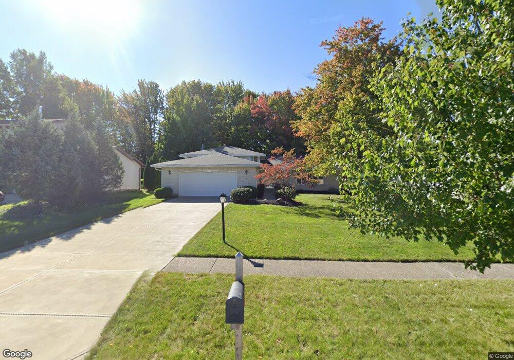
16547 S Red Rock Dr Strongsville, OH 44136
Estimated Value: $376,747 - $407,000
3
Beds
3
Baths
2,682
Sq Ft
$144/Sq Ft
Est. Value
About This Home
This home is located at 16547 S Red Rock Dr, Strongsville, OH 44136 and is currently estimated at $385,187, approximately $143 per square foot. 16547 S Red Rock Dr is a home located in Cuyahoga County with nearby schools including Strongsville High School and Sts Joseph & John Interparochial School.
Ownership History
Date
Name
Owned For
Owner Type
Purchase Details
Closed on
Apr 2, 1985
Sold by
Galati Anthony R
Bought by
Galati Anthony R and Galati Gloria A
Current Estimated Value
Purchase Details
Closed on
Aug 19, 1977
Bought by
Galati Anthony R
Purchase Details
Closed on
May 3, 1977
Bought by
Production Homes Inc
Purchase Details
Closed on
Jan 1, 1977
Bought by
North East Land Co
Create a Home Valuation Report for This Property
The Home Valuation Report is an in-depth analysis detailing your home's value as well as a comparison with similar homes in the area
Home Values in the Area
Average Home Value in this Area
Purchase History
| Date | Buyer | Sale Price | Title Company |
|---|---|---|---|
| Galati Anthony R | -- | -- | |
| Galati Anthony R | $80,800 | -- | |
| Production Homes Inc | $20,000 | -- | |
| North East Land Co | -- | -- |
Source: Public Records
Tax History Compared to Growth
Tax History
| Year | Tax Paid | Tax Assessment Tax Assessment Total Assessment is a certain percentage of the fair market value that is determined by local assessors to be the total taxable value of land and additions on the property. | Land | Improvement |
|---|---|---|---|---|
| 2024 | $4,634 | $108,500 | $22,015 | $86,485 |
| 2023 | $4,710 | $84,390 | $22,300 | $62,090 |
| 2022 | $4,702 | $84,390 | $22,300 | $62,090 |
| 2021 | $4,665 | $84,390 | $22,300 | $62,090 |
| 2020 | $4,211 | $69,160 | $18,270 | $50,890 |
| 2019 | $4,088 | $197,600 | $52,200 | $145,400 |
| 2018 | $3,649 | $69,160 | $18,270 | $50,890 |
| 2017 | $3,655 | $63,850 | $14,460 | $49,390 |
| 2016 | $3,626 | $63,850 | $14,460 | $49,390 |
| 2015 | $3,677 | $63,850 | $14,460 | $49,390 |
| 2014 | $3,677 | $63,850 | $14,460 | $49,390 |
Source: Public Records
Map
Nearby Homes
- 16486 S Red Rock Dr
- 17159 Turkey Meadow Ln
- 17130 Golden Star Dr
- 17682 Drake Rd
- 18229 Howe Rd
- 16711 Beech Cir
- 17024 Bear Creek Ln
- 16650 Lanier Ave
- 18411 Yorktown Oval
- 17934 Cambridge Oval
- 18294 Drake Rd
- 16450 Howe Rd
- 3550 Boston Rd
- 15604-REAR Boston Rd
- 19694 Benbow Rd
- 14985 Camden Cir
- 19740 Benbow Rd
- 17069 Partridge Dr
- 18987 Laurell Cir
- 18848 Pearl Rd
- 16551 S Red Rock Dr
- 16543 S Red Rock Dr
- 16539 S Red Rock Dr
- 16555 S Red Rock Dr
- 16544 Pepper Grass Cir
- 16540 Pepper Grass Cir
- 17159 Penny Pines Cir
- 16535 S Red Rock Dr
- 17163 Penny Pines Cir
- 16548 S Red Rock Dr
- 16552 S Red Rock Dr
- 16544 S Red Rock Dr
- 16558 S Red Rock Dr
- 16533 N Red Rock Dr
- 16548 Pepper Grass Cir
- 16536 Pepper Grass Cir
- 16540 S Red Rock Dr
- 17154 Penny Pines Cir
- 16531 S Red Rock Dr
- 17167 Penny Pines Cir