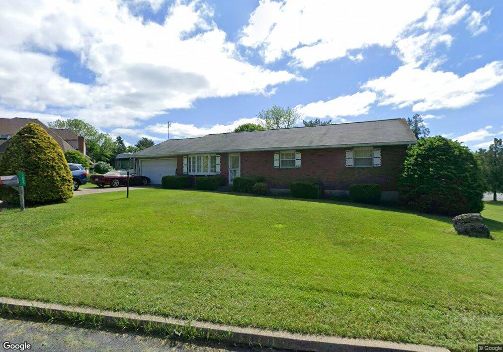
1655 Allen Cir Macungie, PA 18062
Lower Macungie Township East NeighborhoodEstimated Value: $378,696 - $451,000
3
Beds
2
Baths
1,530
Sq Ft
$271/Sq Ft
Est. Value
About This Home
This home is located at 1655 Allen Cir, Macungie, PA 18062 and is currently estimated at $413,924, approximately $270 per square foot. 1655 Allen Cir is a home located in Lehigh County with nearby schools including Willow Lane Elementary School, Lower Macungie Middle School, and Emmaus High School.
Ownership History
Date
Name
Owned For
Owner Type
Purchase Details
Closed on
Jun 28, 1991
Sold by
Jeffcoat Emma K
Bought by
Schmoyer Thomas E
Current Estimated Value
Purchase Details
Closed on
Sep 15, 1989
Sold by
Snyder Craig and Victor Berger
Bought by
Jeffcoat Emma K
Purchase Details
Closed on
Apr 15, 1987
Sold by
Leibensperger Ray A
Bought by
Snyder Craig and Victor Berger
Purchase Details
Closed on
Sep 6, 1976
Bought by
Leibensperger Ray A
Create a Home Valuation Report for This Property
The Home Valuation Report is an in-depth analysis detailing your home's value as well as a comparison with similar homes in the area
Home Values in the Area
Average Home Value in this Area
Purchase History
| Date | Buyer | Sale Price | Title Company |
|---|---|---|---|
| Schmoyer Thomas E | $135,000 | -- | |
| Jeffcoat Emma K | $155,000 | -- | |
| Snyder Craig | $32,000 | -- | |
| Leibensperger Ray A | $8,500 | -- |
Source: Public Records
Tax History Compared to Growth
Tax History
| Year | Tax Paid | Tax Assessment Tax Assessment Total Assessment is a certain percentage of the fair market value that is determined by local assessors to be the total taxable value of land and additions on the property. | Land | Improvement |
|---|---|---|---|---|
| 2025 | $5,430 | $212,700 | $60,500 | $152,200 |
| 2024 | $5,254 | $212,700 | $60,500 | $152,200 |
| 2023 | $5,149 | $212,700 | $60,500 | $152,200 |
| 2022 | $5,027 | $212,700 | $152,200 | $60,500 |
| 2021 | $4,920 | $212,700 | $60,500 | $152,200 |
| 2020 | $4,873 | $212,700 | $60,500 | $152,200 |
| 2019 | $4,790 | $212,700 | $60,500 | $152,200 |
| 2018 | $4,727 | $212,700 | $60,500 | $152,200 |
| 2017 | $4,645 | $212,700 | $60,500 | $152,200 |
| 2016 | -- | $212,700 | $60,500 | $152,200 |
| 2015 | -- | $212,700 | $60,500 | $152,200 |
| 2014 | -- | $212,700 | $60,500 | $152,200 |
Source: Public Records
Map
Nearby Homes
- 6007 Timberknoll Dr
- 2056 Autumn Ridge Rd
- 1991 Autumn Ridge Rd
- 6179 Fairway Ln
- 5736 Greens Dr
- 5673 Wedge Ln
- 5280 Townsquare Dr
- 1675 Hamlet Dr
- 6022 Eli Cir
- 2173 Brookside Rd
- 2154 Gorton Rd
- 6522 Trafalgar Dr
- 5619 Stonecroft Ln
- 5175 Meadowview Dr
- 5133 Meadow Ln
- 5524 Stonecroft Ln
- 1385 Brookside Rd
- 5300 Hanover Dr
- 1037 Village Round Unit L
- 6645 Stein Way Unit 6639-6661
- 1657 Allen Cir
- 5893 Lower MacUngie Rd
- 1654 Allen Cir
- 1696 Bogie Ave
- 1658 Allen Cir
- 5918 Lower MacUngie Rd
- 1656 Allen Cir
- 1656 Bogie Ave
- 5941 Lower MacUngie Rd
- 2221 Woodridge Dr
- 5971 Lower MacUngie Rd
- 1614 Par Causeway
- 1624 Par Causeway
- 1602 Par Causeway
- 1715 Bogie Ave
- 5948 Lower MacUngie Rd
- 1632 Par Causeway
- 2217 Woodridge Dr
- 1623 S Krocks Rd
- 5973 Lower MacUngie Rd