1655 Cedar Dr Coos Bay, OR 97420
Estimated Value: $378,000 - $498,000
4
Beds
2
Baths
2,324
Sq Ft
$185/Sq Ft
Est. Value
About This Home
This home is located at 1655 Cedar Dr, Coos Bay, OR 97420 and is currently estimated at $429,780, approximately $184 per square foot. 1655 Cedar Dr is a home located in Coos County with nearby schools including Eastside School, Millicoma School, and Marshfield Senior High School.
Ownership History
Date
Name
Owned For
Owner Type
Purchase Details
Closed on
Sep 30, 2011
Sold by
Akhtar Ashley
Bought by
Clarke Mitchel L
Current Estimated Value
Home Financials for this Owner
Home Financials are based on the most recent Mortgage that was taken out on this home.
Original Mortgage
$168,800
Outstanding Balance
$115,073
Interest Rate
4.09%
Mortgage Type
New Conventional
Estimated Equity
$314,707
Purchase Details
Closed on
Mar 2, 2010
Sold by
Akhtar Miryam
Bought by
Akhtar Ashley
Purchase Details
Closed on
Jan 20, 2005
Sold by
Goulart Irene L and Goulart Leonard S
Bought by
Akhtar Gerics Miryam C
Home Financials for this Owner
Home Financials are based on the most recent Mortgage that was taken out on this home.
Original Mortgage
$105,000
Interest Rate
8.3%
Mortgage Type
Purchase Money Mortgage
Create a Home Valuation Report for This Property
The Home Valuation Report is an in-depth analysis detailing your home's value as well as a comparison with similar homes in the area
Home Values in the Area
Average Home Value in this Area
Purchase History
| Date | Buyer | Sale Price | Title Company |
|---|---|---|---|
| Clarke Mitchel L | $211,000 | Ticor Title Insurance | |
| Akhtar Ashley | -- | None Available | |
| Akhtar Gerics Miryam C | $149,000 | First American Title |
Source: Public Records
Mortgage History
| Date | Status | Borrower | Loan Amount |
|---|---|---|---|
| Open | Clarke Mitchel L | $168,800 | |
| Previous Owner | Akhtar Gerics Miryam C | $105,000 |
Source: Public Records
Tax History Compared to Growth
Tax History
| Year | Tax Paid | Tax Assessment Tax Assessment Total Assessment is a certain percentage of the fair market value that is determined by local assessors to be the total taxable value of land and additions on the property. | Land | Improvement |
|---|---|---|---|---|
| 2024 | $3,676 | $211,480 | -- | -- |
| 2023 | $3,565 | $205,330 | $0 | $0 |
| 2022 | $3,506 | $199,350 | $0 | $0 |
| 2021 | $3,415 | $193,550 | $0 | $0 |
| 2020 | $3,319 | $193,550 | $0 | $0 |
| 2019 | $3,187 | $182,450 | $0 | $0 |
| 2018 | $3,077 | $177,140 | $0 | $0 |
| 2017 | $2,727 | $171,990 | $0 | $0 |
| 2016 | $2,295 | $148,010 | $0 | $0 |
| 2015 | $2,239 | $143,700 | $0 | $0 |
| 2014 | $2,230 | $140,880 | $0 | $0 |
Source: Public Records
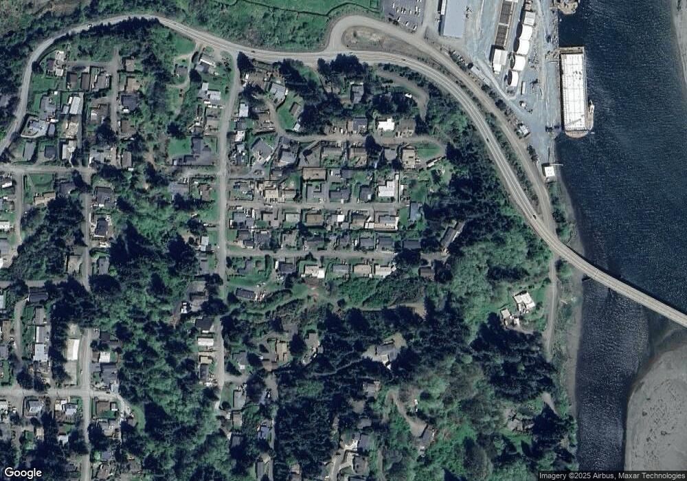
Map
Nearby Homes
- 0 17th Ave Unit 2600 24400970
- 0 7th Ct
- 780 H St
- 63586 Isthmus Heights Rd
- 460 2nd Ave
- 225 1st Ct
- 104 B St
- 0 Laurel Park Ln Unit 500594414
- 235 1st Ave
- 532 Limnell St
- 63352 Isthmus Heights Rd
- 0 20th Ln
- 94320 20th Ln
- 63279 Isthmus Heights Rd
- 63755 Flanagan Rd
- 93778 Bay Park Ln
- 63505 2nd Street Loop
- 63491 2nd Street Loop
- 63757 Harriet Rd
- 93711 Bay Park Ln