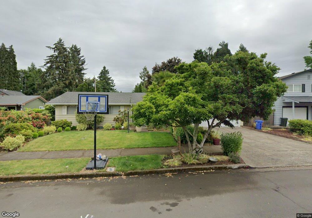
1655 Long Island Dr Eugene, OR 97401
Cal Young NeighborhoodEstimated Value: $478,151 - $498,000
3
Beds
2
Baths
1,544
Sq Ft
$314/Sq Ft
Est. Value
About This Home
This home is located at 1655 Long Island Dr, Eugene, OR 97401 and is currently estimated at $485,538, approximately $314 per square foot. 1655 Long Island Dr is a home located in Lane County with nearby schools including Willagillespie Elementary School, Monroe Middle School, and Sheldon High School.
Ownership History
Date
Name
Owned For
Owner Type
Purchase Details
Closed on
Mar 5, 2025
Sold by
Evanson David
Bought by
Evanson Kyler and Evanson David J
Current Estimated Value
Purchase Details
Closed on
Jul 10, 2018
Sold by
Evanson David and Evanson Nanmei
Bought by
Evanson David
Purchase Details
Closed on
Aug 24, 2011
Sold by
Evanson David
Bought by
Evanson David and Evanson Nanmei
Purchase Details
Closed on
Jul 27, 2005
Sold by
Clifford Jacqueline Joyce
Bought by
Evanson David
Home Financials for this Owner
Home Financials are based on the most recent Mortgage that was taken out on this home.
Original Mortgage
$38,800
Interest Rate
5.56%
Mortgage Type
Stand Alone Second
Create a Home Valuation Report for This Property
The Home Valuation Report is an in-depth analysis detailing your home's value as well as a comparison with similar homes in the area
Home Values in the Area
Average Home Value in this Area
Purchase History
| Date | Buyer | Sale Price | Title Company |
|---|---|---|---|
| Evanson Kyler | -- | None Listed On Document | |
| Evanson David | -- | None Available | |
| Evanson David | -- | None Available | |
| Evanson David | $194,000 | Western Title & Escrow Compa |
Source: Public Records
Mortgage History
| Date | Status | Borrower | Loan Amount |
|---|---|---|---|
| Previous Owner | Evanson David | $38,800 | |
| Previous Owner | Evanson David | $155,200 |
Source: Public Records
Tax History
| Year | Tax Paid | Tax Assessment Tax Assessment Total Assessment is a certain percentage of the fair market value that is determined by local assessors to be the total taxable value of land and additions on the property. | Land | Improvement |
|---|---|---|---|---|
| 2025 | $4,883 | $250,616 | -- | -- |
| 2024 | $4,822 | $243,317 | -- | -- |
| 2023 | $4,822 | $236,231 | -- | -- |
| 2022 | $4,518 | $229,351 | $0 | $0 |
| 2021 | $4,243 | $222,671 | $0 | $0 |
| 2020 | $4,258 | $216,186 | $0 | $0 |
| 2019 | $4,112 | $209,890 | $0 | $0 |
| 2018 | $3,871 | $197,842 | $0 | $0 |
| 2017 | $3,698 | $197,842 | $0 | $0 |
| 2016 | $3,526 | $192,080 | $0 | $0 |
| 2015 | $3,403 | $186,485 | $0 | $0 |
| 2014 | $3,328 | $181,053 | $0 | $0 |
Source: Public Records
Map
Nearby Homes
- 1943 Monterey Ln
- 0 Cal Young Rd Unit Lot 4
- 1500 Norkenzie Rd Unit 12
- 1500 Norkenzie Rd Unit 4
- 1328 Spyglass Dr
- 1332 Jeppesen Ave
- 0 Piper Ln Unit Lot 1
- 0 Piper Ln Unit Lot 3
- 0 Piper Ln Unit Lot 2
- 0 Piper Ln Unit Lot 5
- 2291 Norkenzie Rd
- 1376 Brickley Rd
- 410 Spyglass Dr
- 1697 Elanco Ave
- 2280 Tabor St
- 2267 Willona Dr
- 1193 Rio Glen Dr
- 516 Spyglass Dr
- 2281 Ridgeway Dr
- 2150 Greenview St
- 1675 Long Island Dr
- 1635 Long Island Dr
- 1622 Colby Ct
- 1638 Colby Ct
- 1685 Long Island Dr
- 1616 Colby Ct
- 1910 Myers Rd
- 1650 Long Island Dr
- 1895 Carmel Ave
- 1625 Long Island Dr
- 1670 Long Island Dr
- 1649 Colby Ct
- 1630 Long Island Dr
- 1909 Carmel Ave
- 1680 Long Island Dr
- 1912 Myers Rd
- 1691 Long Island Dr
- 1637 Colby Ct
- 1623 Colby Ct
- 1775 Carmel Ave
Your Personal Tour Guide
Ask me questions while you tour the home.