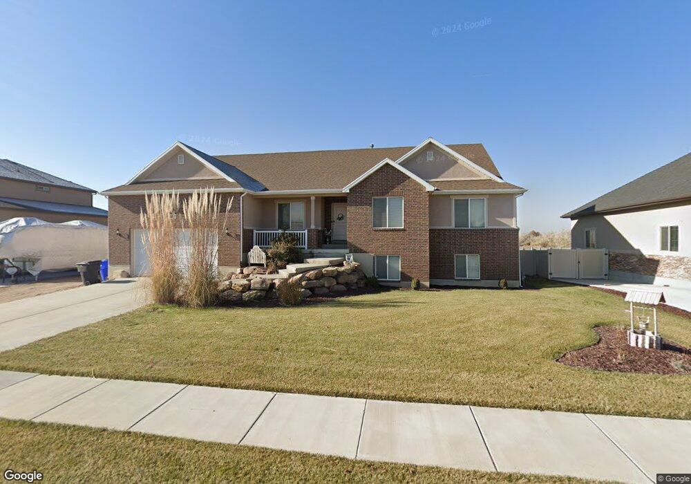
1655 N 4700 W West Point, UT 84015
Estimated Value: $707,000 - $909,000
6
Beds
3
Baths
4,916
Sq Ft
$166/Sq Ft
Est. Value
About This Home
This home is located at 1655 N 4700 W, West Point, UT 84015 and is currently estimated at $817,961, approximately $166 per square foot. 1655 N 4700 W is a home located in Davis County with nearby schools including West Point School, West Point Junior High School, and Syracuse High School.
Ownership History
Date
Name
Owned For
Owner Type
Purchase Details
Closed on
Jul 2, 2018
Sold by
Rees Michael A
Bought by
Rees Starla
Current Estimated Value
Home Financials for this Owner
Home Financials are based on the most recent Mortgage that was taken out on this home.
Original Mortgage
$449,355
Outstanding Balance
$388,617
Interest Rate
4.5%
Mortgage Type
VA
Estimated Equity
$429,344
Purchase Details
Closed on
Nov 30, 2011
Sold by
Gooch Enterprises Llc
Bought by
Rees Michael A and Rees Starla
Home Financials for this Owner
Home Financials are based on the most recent Mortgage that was taken out on this home.
Original Mortgage
$220,000
Interest Rate
4.06%
Mortgage Type
Construction
Create a Home Valuation Report for This Property
The Home Valuation Report is an in-depth analysis detailing your home's value as well as a comparison with similar homes in the area
Home Values in the Area
Average Home Value in this Area
Purchase History
| Date | Buyer | Sale Price | Title Company |
|---|---|---|---|
| Rees Starla | -- | Sutherland Title | |
| Rees Michael A | -- | Lincoln Title Insura |
Source: Public Records
Mortgage History
| Date | Status | Borrower | Loan Amount |
|---|---|---|---|
| Open | Rees Starla | $449,355 | |
| Closed | Rees Michael A | $220,000 |
Source: Public Records
Tax History Compared to Growth
Tax History
| Year | Tax Paid | Tax Assessment Tax Assessment Total Assessment is a certain percentage of the fair market value that is determined by local assessors to be the total taxable value of land and additions on the property. | Land | Improvement |
|---|---|---|---|---|
| 2025 | -- | $402,050 | $141,065 | $260,985 |
| 2024 | $250 | $430,100 | $126,839 | $303,261 |
| 2023 | $250 | $740,000 | $168,093 | $571,907 |
| 2022 | $1,799 | $422,950 | $90,356 | $332,594 |
| 2021 | $926 | $580,000 | $130,130 | $449,870 |
| 2020 | $801 | $505,000 | $111,271 | $393,729 |
| 2019 | $3,445 | $465,000 | $107,370 | $357,630 |
| 2018 | $3,138 | $417,000 | $103,157 | $313,843 |
| 2016 | $3,052 | $212,740 | $40,096 | $172,644 |
| 2015 | $3,033 | $200,365 | $40,096 | $160,269 |
| 2014 | $2,629 | $175,756 | $40,096 | $135,660 |
| 2013 | -- | $169,986 | $40,376 | $129,610 |
Source: Public Records
Map
Nearby Homes
- 1635 N 4625 W
- 1717 N 4325 W
- 2084 N 4500 W
- 2276 N 4500 W
- 4061 W 1250 N Unit 1250
- 1124 N 4150 W
- 4469 W 1000 N Unit 120
- 4171 W 2425 N
- 4719 W 650 N
- 3784 W 2300 N
- 3762 W 2300 N
- 3932 W 825 N Unit WF5
- 3918 W 825 N Unit WF6
- 2462 N Hooded Crane Ct
- 477 N 4500 W
- 2400 Farmhouse Plan at Cranefield Estates - Estates Collection
- 2050 Craftsman Plan at Cranefield Estates - Estates Collection
- 2500 Traditional Plan at Cranefield Estates - Estates Collection
- Torino Farmhouse Plan at Cranefield Estates
- 2000 Farmhouse Plan at Cranefield Estates - Estates Collection
- 1655 N 4700 W Unit 23
- 1673 N 4700 W Unit 22
- 1673 N 4700 W
- 7 N 4700 W
- 1637 N 4700 W Unit 24
- 1619 N 4700 W Unit 25
- 1619 N 4700 W
- 4678 W 1650 N Unit 19
- 1628 N 4700 W Unit 20
- 1601 N 4700 W
- 1601 N 4700 W Unit 26
- 4656 W 1650 N
- 4659 W 1650 N
- 1606 N 4700 W Unit 21
- 1606 N 4700 W
- 4638 W 1650 N
- 1585 N 4700 W Unit 27
- 1592 N 4700 W Unit 31
- 1592 N 4700 W
- 1613 N 4625 W