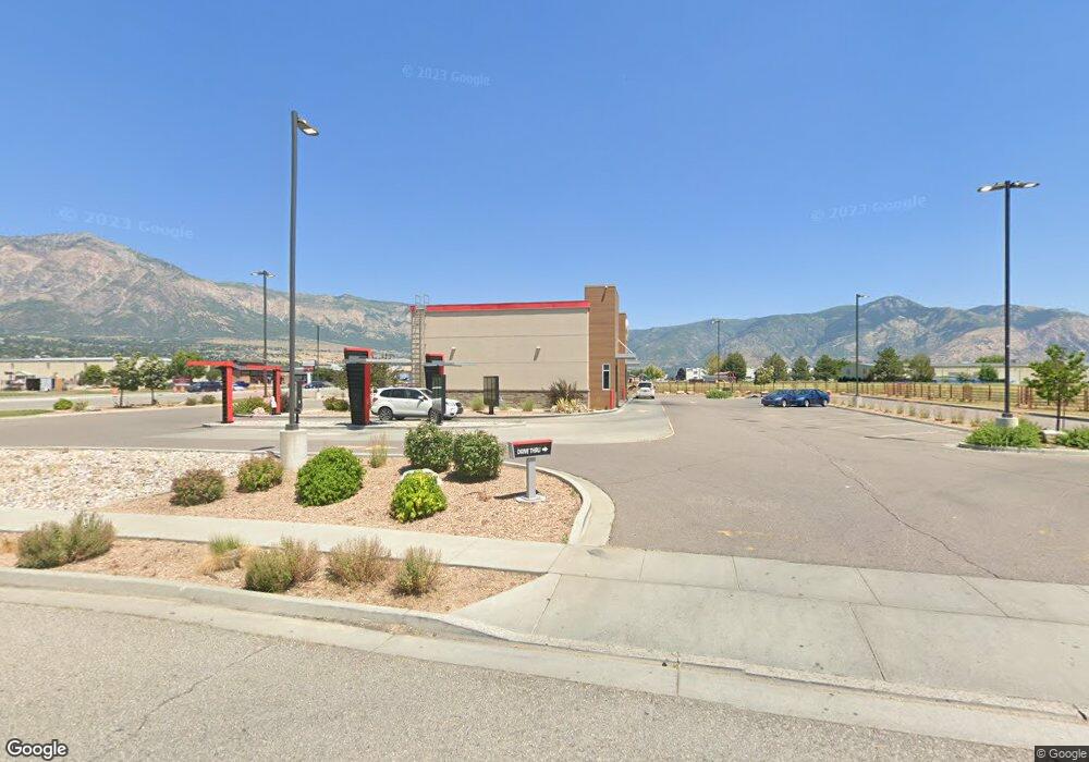
1655 W 2700 N Farr West, UT 84404
Estimated Value: $2,973,683
--
Bed
--
Bath
4,465
Sq Ft
$666/Sq Ft
Est. Value
About This Home
This home is located at 1655 W 2700 N, Farr West, UT 84404 and is currently estimated at $2,973,683, approximately $665 per square foot. 1655 W 2700 N is a home located in Weber County with nearby schools including Farr West Elementary School, Wahlquist Junior High School, and Fremont High School.
Ownership History
Date
Name
Owned For
Owner Type
Purchase Details
Closed on
Jan 28, 2022
Sold by
Ajk Revocable Living Trust
Bought by
Sande Farr West Bk Llc
Current Estimated Value
Purchase Details
Closed on
Nov 12, 2020
Sold by
Amenti Inc
Bought by
Ajk Revocable Living Trust
Purchase Details
Closed on
Feb 19, 2020
Sold by
Agre Limited Partnership
Bought by
Amenti Inc
Purchase Details
Closed on
Mar 1, 2016
Sold by
Weber Industrial Holdings L C
Bought by
Agree Limited Partnership
Create a Home Valuation Report for This Property
The Home Valuation Report is an in-depth analysis detailing your home's value as well as a comparison with similar homes in the area
Home Values in the Area
Average Home Value in this Area
Purchase History
| Date | Buyer | Sale Price | Title Company |
|---|---|---|---|
| Sande Farr West Bk Llc | -- | First American Title | |
| Ajk Revocable Living Trust | -- | None Available | |
| Amenti Inc | -- | First American Title Ins Co | |
| Agree Limited Partnership | -- | Inwest Title |
Source: Public Records
Tax History Compared to Growth
Tax History
| Year | Tax Paid | Tax Assessment Tax Assessment Total Assessment is a certain percentage of the fair market value that is determined by local assessors to be the total taxable value of land and additions on the property. | Land | Improvement |
|---|---|---|---|---|
| 2025 | $31,476 | $3,010,000 | $823,284 | $2,186,716 |
| 2024 | $29,187 | $2,840,000 | $798,286 | $2,041,714 |
| 2023 | $27,835 | $2,679,000 | $704,370 | $1,974,630 |
| 2022 | $27,227 | $2,679,000 | $657,412 | $2,021,588 |
| 2021 | $17,498 | $1,597,000 | $563,496 | $1,033,504 |
| 2020 | $18,190 | $1,521,000 | $563,496 | $957,504 |
| 2019 | $18,248 | $1,441,482 | $469,580 | $971,902 |
| 2018 | $17,335 | $1,311,000 | $469,580 | $841,420 |
| 2017 | $17,029 | $1,248,805 | $422,622 | $826,183 |
| 2016 | -- | $0 | $0 | $0 |
Source: Public Records
Map
Nearby Homes
- 1700 W 2700 N Unit 10
- 1700 W 2700 N Unit 112
- 1700 W 2700 N Unit 110
- 1700 W 2700 N Unit 37
- 1700 W 2700 N Unit 84
- 1700 W 2700 N Unit 36
- 1700 W 2700 N Unit 110
- 1700 W 2700 N
- 2750 N Parkland Blvd E Unit 16
- 2250 N 2000 W
- 2942 N 2000 W
- 2941 Highway 89 Unit 615
- 600 W 2700 N
- 3112 N Pelican Dr
- 3139 N Pelican Dr
- 2491 N Highway 89 Unit 314
- 2491 N Highway 89 Unit 427
- 2491 N Highway 89 Unit 302
- 2491 N Highway 89 Unit 323
- 2491 N Highway 89 Unit 125
- 2703 N 1600 W Unit 1
- 2703 N 1600 W
- 2707 N 1600 W Unit 4
- 2707 N Parkland Blvd Unit 1
- 2707 N 1600 W Unit 2
- 2707 N 1600 W
- 2707 N 1600 W
- 2707 N Parkland Blvd
- 2707 N 1600 W Unit 3
- 2707 N 1600 W Unit 1
- 1543 W 2700 N
- 2700 N 2700 N
- 1525 W 2700 N
- 2711 N 1600 W Unit 3
- 1584 W 2700 N Unit 26
- 1584 W 2700 N
- 1759 W 2700 N Unit 5-10
- 1759 W 2700 N
- 2710 N 1600 W Unit 24
- 1664 W 2550 N Unit 7