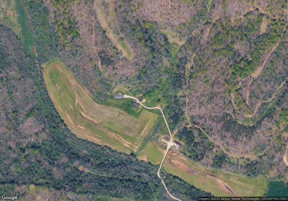
16551 State Route 775 Willow Wood, OH 45696
Estimated Value: $269,000 - $318,893
3
Beds
2
Baths
1,792
Sq Ft
$164/Sq Ft
Est. Value
About This Home
This home is located at 16551 State Route 775, Willow Wood, OH 45696 and is currently estimated at $293,947, approximately $164 per square foot. 16551 State Route 775 is a home located in Lawrence County with nearby schools including Symmes Valley Elementary School and Symmes Valley High School.
Ownership History
Date
Name
Owned For
Owner Type
Purchase Details
Closed on
Feb 11, 2016
Sold by
Haas Haas A and Haas Alva B
Bought by
Haas Mark A and Haas Deanna K
Current Estimated Value
Purchase Details
Closed on
Jun 7, 2013
Sold by
Haas Donna Huff
Bought by
Haas Mark A and Haas Burton
Purchase Details
Closed on
Jul 30, 2004
Sold by
Haas Orville E
Bought by
Haas Donna Huff Life Est Rem Orville E H
Purchase Details
Closed on
Oct 26, 1999
Sold by
Haas Orville E and Haas Ju
Bought by
Haas Orville E
Purchase Details
Closed on
Apr 6, 1994
Sold by
Payne Payne A A and Payne Paul P
Bought by
Haas Orville E and Haas Ju
Create a Home Valuation Report for This Property
The Home Valuation Report is an in-depth analysis detailing your home's value as well as a comparison with similar homes in the area
Home Values in the Area
Average Home Value in this Area
Purchase History
| Date | Buyer | Sale Price | Title Company |
|---|---|---|---|
| Haas Mark A | $40,000 | None Available | |
| Haas Mark A | -- | None Available | |
| Haas Donna Huff Life Est Rem Orville E H | -- | -- | |
| Haas Orville E | -- | -- | |
| Haas Orville E | $44,500 | -- |
Source: Public Records
Tax History Compared to Growth
Tax History
| Year | Tax Paid | Tax Assessment Tax Assessment Total Assessment is a certain percentage of the fair market value that is determined by local assessors to be the total taxable value of land and additions on the property. | Land | Improvement |
|---|---|---|---|---|
| 2022 | $1,688 | $73,450 | $24,640 | $48,810 |
| 2021 | $1,430 | $54,060 | $13,990 | $40,070 |
| 2020 | $1,590 | $58,770 | $13,990 | $44,780 |
| 2019 | $1,675 | $58,770 | $13,990 | $44,780 |
| 2018 | $1,725 | $56,840 | $13,990 | $42,850 |
| 2017 | $1,725 | $56,840 | $13,990 | $42,850 |
| 2016 | $1,603 | $56,840 | $13,990 | $42,850 |
| 2015 | $1,559 | $54,910 | $13,950 | $40,960 |
| 2014 | $1,559 | $54,910 | $13,950 | $40,960 |
| 2013 | $1,558 | $54,910 | $13,950 | $40,960 |
Source: Public Records
Map
Nearby Homes
- 18325 State Route 141
- 0 Ohio 775
- 321 Township Road 75 S
- 1102 County Road 8
- 174 Township Road 74
- 0 Ohio 141
- 7381 County Road 16
- 266 Twp Rd 209
- 13498 County Road 2
- 168 Township Road 122 W
- 0 County Road 213
- 784 Township Road 209
- 479 Township Road 122
- 0 Venisonham-Camp Branch Rd Unit Tract 2
- 0 Venisonham-Camp Branch Rd Unit Tract 1
- 0 Venisonham-Camp Branch Rd
- 0 Venisonham-Camp Branch Rd Unit 25766693
- 0 Venisonham-Camp Branch Rd Unit 3
- 1790 Hull Rd
- 1865 Hull Rd
- 0 Twp Rd 177
- 00000 Twp Rd 177
- 35 Township Road 177
- 231 Township Road 177
- 16726 State Route 775
- 16925 State Route 775
- 17009 State Route 141
- 17009 State Route 141
- 17012 State Route 141
- 16143 State Route 775
- 17285 State Route 141
- 17341 State Route 141
- 16755 State Route 141
- 17363 State Route 141
- 15981 State Route 775
- 17093 State Route 775
- 17093 State Route 775
- 16909 State Route 141
- 15908 State Route 775
- 15848 State Route 775