16555 E 470 Rd Claremore, OK 74017
Estimated Value: $381,000 - $536,000
6
Beds
5
Baths
5,984
Sq Ft
$77/Sq Ft
Est. Value
About This Home
This home is located at 16555 E 470 Rd, Claremore, OK 74017 and is currently estimated at $460,199, approximately $76 per square foot. 16555 E 470 Rd is a home with nearby schools including Sequoyah Elementary School, Sequoyah High School, and Heritage Adventist School.
Ownership History
Date
Name
Owned For
Owner Type
Purchase Details
Closed on
Jan 9, 2007
Sold by
Davis David D and Davis Susan E
Bought by
Kelsey Paul G and Kelsey Barbara A
Current Estimated Value
Purchase Details
Closed on
Dec 20, 2006
Sold by
Federal National Mortgage Association
Bought by
Davis Susan E and Kesley Paul
Purchase Details
Closed on
Sep 12, 2006
Sold by
Vogt Ted K and Vogt Emily E
Bought by
Federal National Mortgage Association
Create a Home Valuation Report for This Property
The Home Valuation Report is an in-depth analysis detailing your home's value as well as a comparison with similar homes in the area
Home Values in the Area
Average Home Value in this Area
Purchase History
| Date | Buyer | Sale Price | Title Company |
|---|---|---|---|
| Kelsey Paul G | -- | Firsco Title Corporation | |
| Davis Susan E | $200,000 | Frisco Title Corporation | |
| Federal National Mortgage Association | $185,851 | None Available |
Source: Public Records
Tax History Compared to Growth
Tax History
| Year | Tax Paid | Tax Assessment Tax Assessment Total Assessment is a certain percentage of the fair market value that is determined by local assessors to be the total taxable value of land and additions on the property. | Land | Improvement |
|---|---|---|---|---|
| 2025 | $3,926 | $39,381 | $4,851 | $34,530 |
| 2024 | $3,926 | $37,506 | $4,620 | $32,886 |
| 2023 | $3,926 | $35,720 | $4,235 | $31,485 |
| 2022 | $3,887 | $36,060 | $4,235 | $31,825 |
| 2021 | $3,948 | $37,894 | $4,235 | $33,659 |
| 2020 | $3,779 | $36,732 | $3,713 | $33,019 |
| 2019 | $3,548 | $34,591 | $3,080 | $31,511 |
| 2018 | $3,731 | $36,004 | $3,080 | $32,924 |
| 2017 | $3,652 | $35,710 | $3,080 | $32,630 |
| 2016 | $3,533 | $34,684 | $3,080 | $31,604 |
| 2015 | $3,448 | $33,728 | $3,080 | $30,648 |
| 2014 | $3,393 | $33,182 | $2,778 | $30,404 |
Source: Public Records
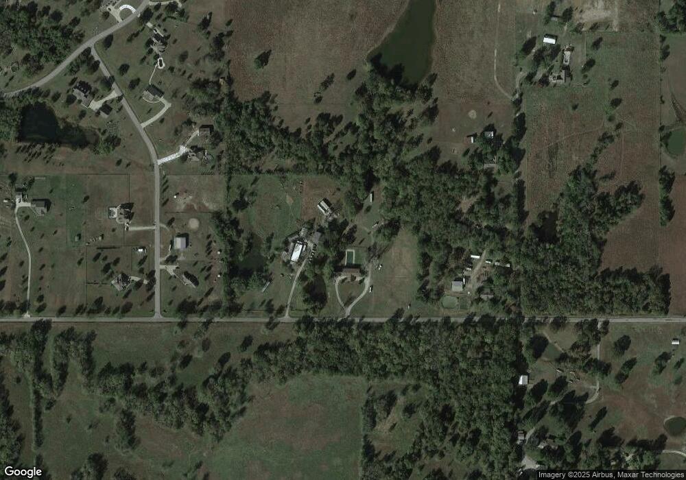
Map
Nearby Homes
- 0 S 4197 Rd
- 009 E 480 Rd
- 008 E 480 Rd
- 007 E 480 Rd
- 18870 Timberlake
- 18723 S 4185 Rd Unit A
- 17065 Honeysuckle Ln
- 19985 S Wind Ridge Dr
- 19962 S Windridge Dr
- 9251 E 470 Rd
- 09 S 4200 Rd
- 04 S 4200 Rd
- 05 S 4200 Rd
- 14552 E Lake Dr
- 16370 E 450 Rd
- 06 S 4200 Rd
- 17791 S 4180 Rd
- 17135 S Creekwood Ct
- 18402 E 480 Rd
- 14800 Cedar Dr
- 16525 E 470 Rd
- 16697 E 470 Rd
- 5305 NE Lowery Rd
- 2809 Lowery Rd SW
- 5301 NE Lowery Rd
- 5126 NE Lowery Rd
- null N Lowery Rd
- 18755 S Kiowa Rd
- 18725 S Kiowa Rd
- 18925 Kiowa Rd
- 18825 Kiowa Rd
- 0 Kiowa Rd
- 18920 S Kiowa Rd
- 18705 S Kiowa Rd
- 16826 E 470 Rd
- 3200 NE Smokehouse Ln
- 18685 E Pueblo Rd
- 3201 NE Smokehouse Ln
- 18710 S Kiowa Rd
- 18665 E Pueblo Rd