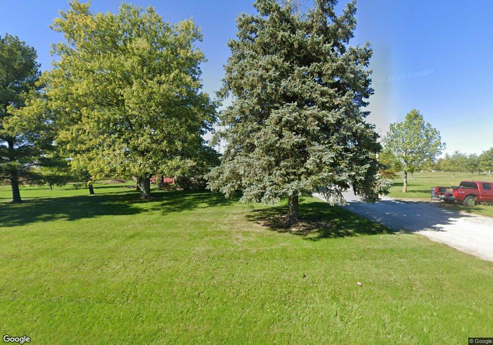
16557 Pepple Rd Waynesfield, OH 45896
Estimated Value: $227,000 - $305,000
3
Beds
2
Baths
1,792
Sq Ft
$152/Sq Ft
Est. Value
About This Home
This home is located at 16557 Pepple Rd, Waynesfield, OH 45896 and is currently estimated at $271,713, approximately $151 per square foot. 16557 Pepple Rd is a home located in Auglaize County with nearby schools including Waynesfield-Goshen Local Elementary School and Waynesfield-Goshen Local High School.
Ownership History
Date
Name
Owned For
Owner Type
Purchase Details
Closed on
Aug 28, 2024
Sold by
Haggard Charles A and Haggard Sue E
Bought by
Radford Jacqueline S and Haggard Joseph M
Current Estimated Value
Purchase Details
Closed on
Sep 24, 2009
Sold by
Haggard Charles and Haggard Sue Ellen
Bought by
Haggard Charles and Haggard Sue Ellen
Purchase Details
Closed on
Jul 6, 2009
Sold by
Haggard Charles and Haggard Sue Ellen
Bought by
Haggard Charles and Haggard Sue Ellen
Purchase Details
Closed on
Jun 1, 1987
Create a Home Valuation Report for This Property
The Home Valuation Report is an in-depth analysis detailing your home's value as well as a comparison with similar homes in the area
Home Values in the Area
Average Home Value in this Area
Purchase History
| Date | Buyer | Sale Price | Title Company |
|---|---|---|---|
| Radford Jacqueline S | -- | None Listed On Document | |
| Radford Jacqueline S | -- | None Listed On Document | |
| Haggard Charles | -- | Attorney | |
| Haggard Charles | -- | Attorney | |
| -- | $800 | -- |
Source: Public Records
Tax History Compared to Growth
Tax History
| Year | Tax Paid | Tax Assessment Tax Assessment Total Assessment is a certain percentage of the fair market value that is determined by local assessors to be the total taxable value of land and additions on the property. | Land | Improvement |
|---|---|---|---|---|
| 2024 | $4,380 | $69,640 | $7,280 | $62,360 |
| 2023 | $2,431 | $69,640 | $7,280 | $62,360 |
| 2022 | $2,103 | $51,030 | $6,670 | $44,360 |
| 2021 | $2,094 | $51,030 | $6,670 | $44,360 |
| 2020 | $2,061 | $51,031 | $6,675 | $44,356 |
| 2019 | $1,676 | $42,526 | $5,562 | $36,964 |
| 2018 | $1,631 | $42,526 | $5,562 | $36,964 |
| 2017 | $1,626 | $42,526 | $5,562 | $36,964 |
| 2016 | $1,518 | $40,964 | $5,299 | $35,665 |
| 2015 | $1,517 | $40,964 | $5,299 | $35,665 |
| 2014 | $1,519 | $40,964 | $5,299 | $35,665 |
| 2013 | $1,687 | $40,964 | $5,299 | $35,665 |
Source: Public Records
Map
Nearby Homes
- 25836 Ohio 67
- 202 W Mulberry St
- 105 Guthrie St
- 8150 Amherst Rd
- 0 Ohio 235
- 22275 Buckland Holden Rd
- 13793 Ohio 235 Unit 75
- 11352 N Township Road 88
- 5065 Amherst Rd
- 12102 Shannon Dr Unit 89
- 11524 Powhatan Path
- 11496 Powhatan Path
- 11588 Blackhawk Path
- 12015 Holly Dr
- 13501 Eagle Path
- 11579 Cooper Ave
- 11773 Sunview Ave
- 11372 Kickapoo Path
- 11344 Mohawk Path
- 11161 Macalpine Way
- 16718 Pepple Rd
- 16755 Pepple Rd
- 16791 Pepple Rd
- 16849 Pepple Rd
- 16895 Pepple Rd
- 26938 State Route 67
- 27128 Ohio 67
- 26770 State Route 67
- 26685 Focht Rd
- 26765 Focht Rd
- 27251 State Route 67
- 26622 State Route 67
- 27388 State Route 67
- 26562 State Route 67
- 16631 Heit Rd
- 26534 State Route 67
- 26531 State Route 67
- 26414 State Route 67
- 16435 Heit Rd
- 16731 Heit Rd
