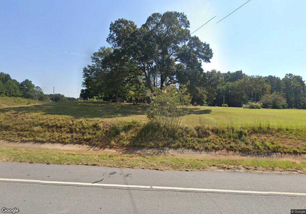
16560 Us Highway 27 Franklin, GA 30217
Estimated Value: $146,460 - $368,000
3
Beds
1
Bath
1,238
Sq Ft
$196/Sq Ft
Est. Value
About This Home
This home is located at 16560 Us Highway 27, Franklin, GA 30217 and is currently estimated at $243,153, approximately $196 per square foot. 16560 Us Highway 27 is a home.
Ownership History
Date
Name
Owned For
Owner Type
Purchase Details
Closed on
Mar 6, 2007
Sold by
Not Provided
Bought by
Daniel Samuel J
Current Estimated Value
Purchase Details
Closed on
Mar 5, 2007
Sold by
Daniel Imogene
Bought by
Daniel Samuel J
Purchase Details
Closed on
Sep 7, 2001
Sold by
Daniel Imogene
Bought by
Ga Dept Of Transportation
Purchase Details
Closed on
Apr 16, 1980
Sold by
Daniel Clinton
Bought by
Daniel Imogene
Purchase Details
Closed on
Feb 24, 1972
Sold by
Cook Joe W
Bought by
Daniel Clenton
Purchase Details
Closed on
Feb 26, 1970
Sold by
Cook Belton W Heirs
Bought by
Cook Joe W
Purchase Details
Closed on
Nov 11, 1966
Sold by
Deering Ester
Bought by
Cook Joe W
Purchase Details
Closed on
Sep 3, 1952
Sold by
Merrell R L
Bought by
Deering Esther C and Cook Belton W
Purchase Details
Closed on
Nov 18, 1931
Sold by
Hollingsworth Luella
Bought by
Merrell R L
Create a Home Valuation Report for This Property
The Home Valuation Report is an in-depth analysis detailing your home's value as well as a comparison with similar homes in the area
Home Values in the Area
Average Home Value in this Area
Purchase History
| Date | Buyer | Sale Price | Title Company |
|---|---|---|---|
| Daniel Samuel J | -- | -- | |
| Daniel Samuel J | -- | -- | |
| Ga Dept Of Transportation | -- | -- | |
| Daniel Imogene | -- | -- | |
| Daniel Clenton | $3,500 | -- | |
| Cook Joe W | -- | -- | |
| Cook Joe W | -- | -- | |
| Deering Esther C | $3,000 | -- | |
| Merrell R L | $1,800 | -- |
Source: Public Records
Tax History Compared to Growth
Tax History
| Year | Tax Paid | Tax Assessment Tax Assessment Total Assessment is a certain percentage of the fair market value that is determined by local assessors to be the total taxable value of land and additions on the property. | Land | Improvement |
|---|---|---|---|---|
| 2024 | $410 | $20,340 | $3,370 | $16,970 |
| 2023 | $384 | $18,398 | $2,809 | $15,589 |
| 2022 | $366 | $17,544 | $1,912 | $15,632 |
| 2021 | $303 | $13,785 | $1,912 | $11,873 |
| 2020 | $267 | $12,026 | $1,912 | $10,114 |
| 2019 | $267 | $12,026 | $1,912 | $10,114 |
| 2018 | $272 | $12,026 | $1,912 | $10,114 |
| 2017 | $220 | $9,736 | $1,430 | $8,306 |
| 2016 | $220 | $9,736 | $1,430 | $8,306 |
| 2015 | -- | $9,350 | $2,743 | $6,608 |
| 2014 | -- | $9,352 | $2,743 | $6,608 |
| 2013 | -- | $9,358 | $2,743 | $6,615 |
Source: Public Records
Map
Nearby Homes
- 85 Dunson Shoals Rd
- 15486 Us Highway 27
- 84 Water Tower Rd
- 184 Dunson Shoals Rd
- 166 Dunson Shoals Rd
- 86 Water Tower Rd
- 175 Dunson Shoals Rd
- 15459 Us Highway 27
- 244 Dunson Shoals Rd
- 185 Dunson Shoals Rd
- 209 Dunson Shoals Rd
- 239 Dunson Shoals Rd
- 15729 Us Highway 27
- 15286 Us Highway 27
- 15787 Us Highway 27
- 283 Dunson Shoals Rd
- 15733 Us Highway 27
- 15794 Us Highway 27
- 15736 Us Highway 27
- 349 Dunson Shoals Rd
