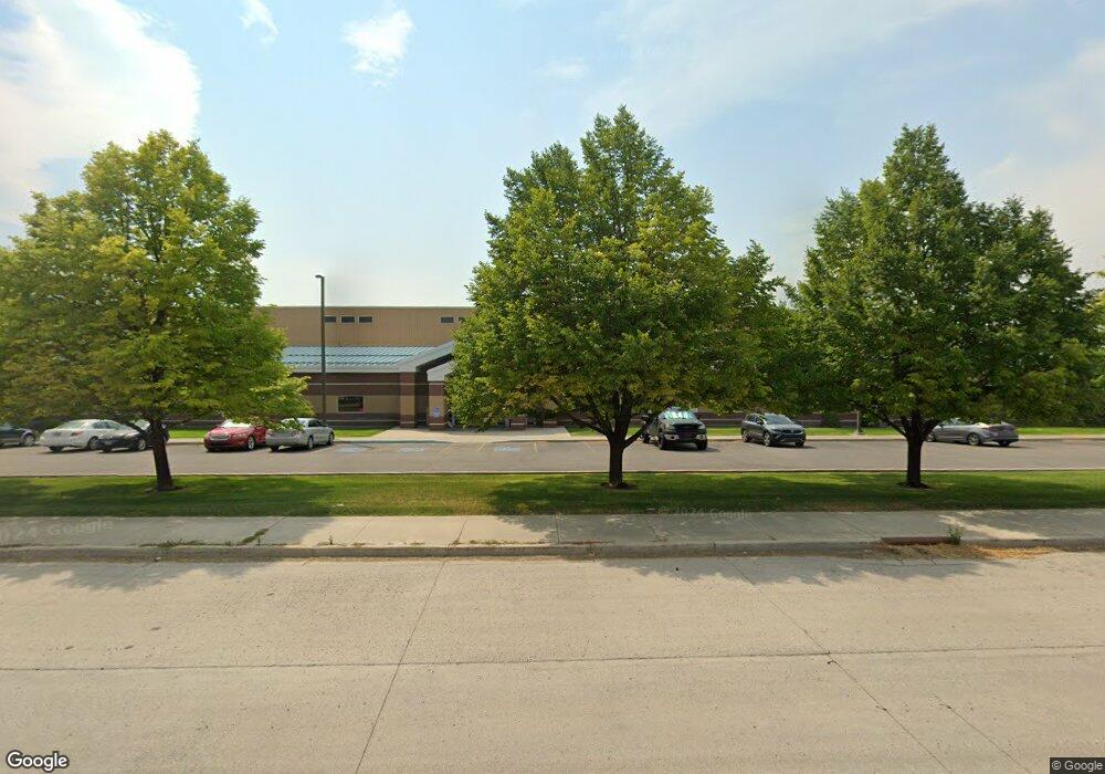
1657 N 1000 W Logan, UT 84321
Bridger Neighborhood
--
Bed
--
Bath
60,146
Sq Ft
5.82
Acres
About This Home
This home is located at 1657 N 1000 W, Logan, UT 84321. 1657 N 1000 W is a home located in Cache County with nearby schools including Bridger School, Mount Logan Middle School, and Logan High School.
Ownership History
Date
Name
Owned For
Owner Type
Purchase Details
Closed on
Aug 12, 2019
Sold by
Yesco Electronics Llc
Bought by
Prismview Llc
Purchase Details
Closed on
Mar 3, 2015
Sold by
Yesco Properties Llc
Bought by
Yesco Electronics Llc
Purchase Details
Closed on
Mar 30, 2012
Sold by
Yesco Properties Llc
Bought by
Utah Department Of Transportation
Purchase Details
Closed on
Oct 6, 2011
Sold by
Young Electric Sign Company
Bought by
Yesco Properties Llc
Purchase Details
Closed on
Jan 4, 2006
Sold by
Barco Inc
Bought by
Young Electric Sign Co
Home Financials for this Owner
Home Financials are based on the most recent Mortgage that was taken out on this home.
Original Mortgage
$2,460,877
Interest Rate
6.27%
Mortgage Type
Commercial
Create a Home Valuation Report for This Property
The Home Valuation Report is an in-depth analysis detailing your home's value as well as a comparison with similar homes in the area
Home Values in the Area
Average Home Value in this Area
Purchase History
| Date | Buyer | Sale Price | Title Company |
|---|---|---|---|
| Prismview Llc | -- | None Available | |
| Yesco Electronics Llc | -- | American Secure Title | |
| Utah Department Of Transportation | -- | None Available | |
| Yesco Properties Llc | -- | First American Title Ins Co | |
| Young Electric Sign Co | -- | Accommodation |
Source: Public Records
Mortgage History
| Date | Status | Borrower | Loan Amount |
|---|---|---|---|
| Previous Owner | Young Electric Sign Co | $2,460,877 |
Source: Public Records
Tax History Compared to Growth
Tax History
| Year | Tax Paid | Tax Assessment Tax Assessment Total Assessment is a certain percentage of the fair market value that is determined by local assessors to be the total taxable value of land and additions on the property. | Land | Improvement |
|---|---|---|---|---|
| 2025 | $62,130 | $8,035,469 | $3,183,365 | $4,852,104 |
| 2024 | $43,820 | $5,489,146 | $1,048,144 | $4,441,002 |
| 2023 | $36,630 | $4,373,772 | $998,232 | $3,375,540 |
| 2022 | $38,802 | $4,326,237 | $950,697 | $3,375,540 |
| 2021 | $4,397 | $4,165,497 | $950,697 | $3,214,800 |
| 2020 | $48,853 | $4,165,497 | $950,697 | $3,214,800 |
| 2019 | $47,850 | $3,903,597 | $950,697 | $2,952,900 |
| 2018 | $49,194 | $3,664,117 | $887,317 | $2,776,800 |
| 2017 | $51,173 | $3,664,115 | $0 | $0 |
| 2016 | $53,056 | $3,664,115 | $0 | $0 |
| 2015 | $53,115 | $3,664,115 | $0 | $0 |
| 2014 | $48,015 | $3,664,115 | $0 | $0 |
| 2013 | -- | $3,593,205 | $0 | $0 |
Source: Public Records
Map
Nearby Homes
- 1565 N 565 W Unit 101
- 1584 N 565 W Unit 104
- 1492 N 565 W Unit 101
- 539 W 1465 N Unit 17-102
- 800 W 1400 N Unit 3
- 514 W 1490 N Unit 102
- 559 W 1350 N Unit 41
- 446 W 1595 N Unit 103
- 1515 N 450 W Unit 103
- 1762 N 460 W Unit 103-10
- 1926 Lavender Loop Unit 6
- 2 Somerset Place
- 259 W 1800 N
- 60 Hampton Place
- 2500 2500 N
- 2200 N 220 W
- Park Avenue 1600 Plan at Park Avenue 1600
- 873 N 480 W
- 490 W 1950 N Unit 27
- 894 N 400 W
- 1073 W 1700 N
- 1530 N 1000 W
- 1137 W 1700 N
- 800 W 1800 N
- 600 W 1800 N Unit 3-5
- 600 W 1800 N Unit 345
- 600 W 1800 N
- 1189 W 1700 N Unit 2
- 1189 W 1700 N Unit 1
- 1189 W 1700 N
- 865 W 1455 N
- 865 W 1455 N Unit 7
- 1441 E Ellendale Ave1000 N
- 1400 N 1000 W
- 1063 W 1400 N
- 845 W 1455 N Unit 5
- 845 W 1455 N
- 864 W 1455 N Unit 8
- 835 W 1455 N Unit 3
- 848 W 1455 N Unit 6