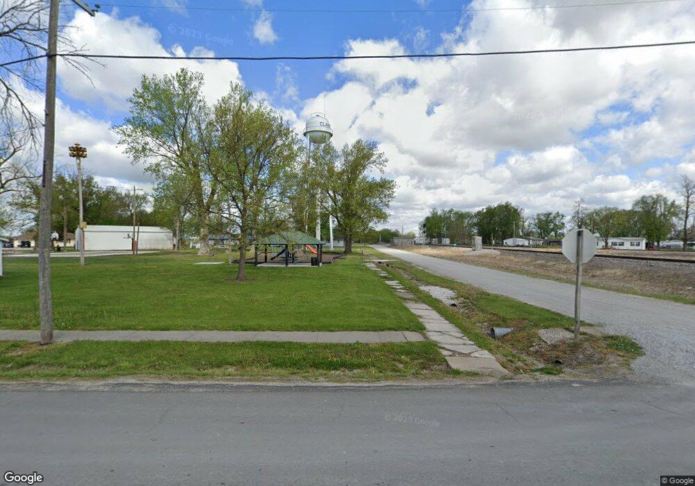
Estimated Value: $325,000 - $493,000
3
Beds
2
Baths
1,932
Sq Ft
$204/Sq Ft
Est. Value
About This Home
This home is located at 16572 Highway B, Clark, MO 65243 and is currently estimated at $394,919, approximately $204 per square foot. 16572 Highway B is a home located in Randolph County with nearby schools including Renick Elementary School.
Ownership History
Date
Name
Owned For
Owner Type
Purchase Details
Closed on
Mar 7, 2025
Sold by
Riley Carla and Ridgeway Rose Barnett
Bought by
Buchholz Adam and Buchholz Samatha
Current Estimated Value
Purchase Details
Closed on
Feb 17, 2022
Sold by
Parker and Barbel
Bought by
Scholes Tricia
Purchase Details
Closed on
Oct 4, 2007
Sold by
Cleeton George C and Cleeton Patricia E
Bought by
Parker Douglas and Parker Barbel
Create a Home Valuation Report for This Property
The Home Valuation Report is an in-depth analysis detailing your home's value as well as a comparison with similar homes in the area
Home Values in the Area
Average Home Value in this Area
Purchase History
| Date | Buyer | Sale Price | Title Company |
|---|---|---|---|
| Buchholz Adam | -- | Town & Country Abstract | |
| Scholes Tricia | -- | None Listed On Document | |
| Scholes Tricia | -- | None Listed On Document | |
| Parker Douglas | -- | -- |
Source: Public Records
Tax History Compared to Growth
Tax History
| Year | Tax Paid | Tax Assessment Tax Assessment Total Assessment is a certain percentage of the fair market value that is determined by local assessors to be the total taxable value of land and additions on the property. | Land | Improvement |
|---|---|---|---|---|
| 2025 | $1,917 | $35,150 | $2,398 | $32,752 |
| 2024 | $1,917 | $32,539 | $2,118 | $30,421 |
| 2023 | $1,893 | $32,539 | $2,118 | $30,421 |
| 2022 | $1,871 | $32,290 | $2,119 | $30,171 |
| 2021 | $1,815 | $32,410 | $2,307 | $30,103 |
| 2020 | $1,815 | $32,420 | $2,309 | $30,111 |
| 2019 | $1,823 | $32,420 | $2,309 | $30,111 |
| 2018 | $1,828 | $33,400 | $2,338 | $31,062 |
| 2017 | $1,800 | $33,400 | $0 | $0 |
| 2016 | $1,684 | $31,840 | $0 | $0 |
| 2014 | -- | $28,660 | $0 | $0 |
| 2013 | -- | $28,660 | $0 | $0 |
| 2012 | -- | $28,660 | $0 | $0 |
Source: Public Records
Map
Nearby Homes
- 1852 Highway T
- 1330 County Road 2663
- 3627 County Road 2580 - Tract 1
- 3627 County Road 2580 - Tract 3
- 10 AC +/- County Road 2633
- TBD County Road 2633
- 0 County Road 2633
- 1879 County Road 2635
- 97 Guthrie St
- 5480 State Route A Rural Route
- 4444 State Route O
- 1040 Private Road 2982
- 7 LOTS Suzanne Barkley St
- 0 Tract 2 State Route A Unit 428227
- 7 Lots Barkley Suzanne Ct St
- 0 County Road 117
- 0 Tract 3 State Route A Unit 428204
- 3111 County Road 2860
- 0 County Road 2775
- 3616 County Road 2860
- 16475 Highway B
- 1010 Private Road 2944
- 1380 County Road 2685
- 16255 Highway B
- 1279 County Road 2685
- 1177 County Road 2685
- 5379 County Road 2635
- 5275 County Road 2635
- 1065 County Road 2680
- 1860 Highway T
- 17303 Highway B
- 1868 Highway T
- 2072 Highway T
- 9484 Highway Aa
- 4774 County Road 2635
- 4775 County Road 2635
- 1346 County Road 2675
