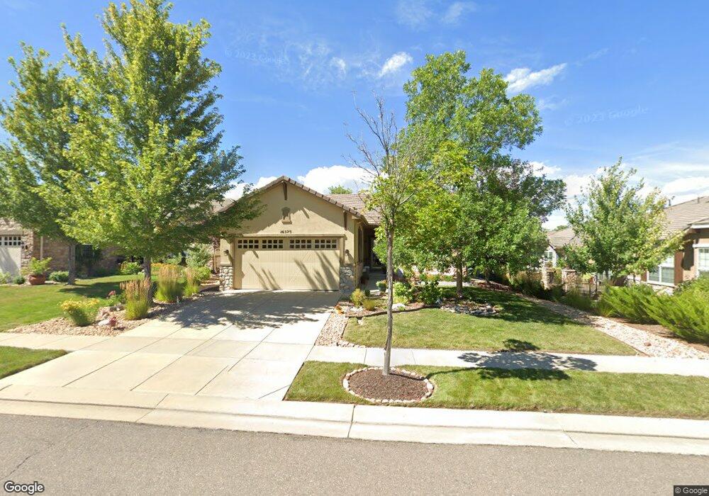
16573 Sherman Way Broomfield, CO 80023
Anthem NeighborhoodEstimated Value: $674,782 - $724,000
2
Beds
2
Baths
1,554
Sq Ft
$454/Sq Ft
Est. Value
About This Home
This home is located at 16573 Sherman Way, Broomfield, CO 80023 and is currently estimated at $704,946, approximately $453 per square foot. 16573 Sherman Way is a home located in Broomfield County with nearby schools including Thunder Vista P-8, Legacy High School, and Prospect Ridge Academy.
Ownership History
Date
Name
Owned For
Owner Type
Purchase Details
Closed on
May 14, 2009
Sold by
Koth Lorraine and Blilie Irene L
Bought by
Koth Lorraine A and Blilie Irene L
Current Estimated Value
Home Financials for this Owner
Home Financials are based on the most recent Mortgage that was taken out on this home.
Original Mortgage
$181,000
Outstanding Balance
$113,866
Interest Rate
4.77%
Mortgage Type
New Conventional
Estimated Equity
$591,080
Purchase Details
Closed on
Dec 5, 2007
Sold by
Pulte Home Corp
Bought by
Koth Lorraine and Blilie Irene L
Home Financials for this Owner
Home Financials are based on the most recent Mortgage that was taken out on this home.
Original Mortgage
$179,490
Interest Rate
6.4%
Mortgage Type
Purchase Money Mortgage
Create a Home Valuation Report for This Property
The Home Valuation Report is an in-depth analysis detailing your home's value as well as a comparison with similar homes in the area
Home Values in the Area
Average Home Value in this Area
Purchase History
| Date | Buyer | Sale Price | Title Company |
|---|---|---|---|
| Koth Lorraine A | -- | Utc Colorado | |
| Koth Lorraine | $279,490 | Land Title Guarantee Company |
Source: Public Records
Mortgage History
| Date | Status | Borrower | Loan Amount |
|---|---|---|---|
| Open | Koth Lorraine A | $181,000 | |
| Closed | Koth Lorraine | $179,490 |
Source: Public Records
Tax History Compared to Growth
Tax History
| Year | Tax Paid | Tax Assessment Tax Assessment Total Assessment is a certain percentage of the fair market value that is determined by local assessors to be the total taxable value of land and additions on the property. | Land | Improvement |
|---|---|---|---|---|
| 2025 | $4,170 | $41,820 | $13,400 | $28,420 |
| 2024 | $4,170 | $39,810 | $12,270 | $27,540 |
| 2023 | $4,137 | $45,120 | $13,900 | $31,220 |
| 2022 | $3,530 | $32,490 | $10,080 | $22,410 |
| 2021 | $3,643 | $33,430 | $10,370 | $23,060 |
| 2020 | $3,398 | $31,340 | $9,650 | $21,690 |
| 2019 | $4,420 | $31,560 | $9,720 | $21,840 |
| 2018 | $4,252 | $28,840 | $7,200 | $21,640 |
| 2017 | $3,978 | $31,880 | $7,960 | $23,920 |
| 2016 | $4,022 | $27,690 | $7,960 | $19,730 |
| 2015 | $4,188 | $23,650 | $7,960 | $15,690 |
| 2014 | $3,800 | $23,650 | $7,960 | $15,690 |
Source: Public Records
Map
Nearby Homes
- 16505 Antero Cir
- 16615 Ellingwood Dr
- 4680 Belford Cir
- 16626 Las Brisas Dr
- 16075 Meeker Way
- 16526 Chesapeake Dr
- 4263 Corte Bella Dr
- 4636 Belford Cir
- 15975 Quandary Loop
- 16320 Graham Peak Way
- 16345 Spanish Peak Way
- 16273 Ute Peak Way
- 16392 Spanish Peak Way
- 3741 Harvard Place
- 16611 Plateau Ln
- 15739 Columbus Mountain Dr
- 3457 Parkside Center Dr
- 15875 Wild Horse Dr
- 3481 Vestal Loop
- 4560 White Rock Dr
- 16567 Sherman Way
- 4848 Shavano Dr
- 4840 Shavano Dr
- 4856 Shavano Dr
- 16561 Sherman Way
- 4864 Shavano Dr
- 16544 Antero Cir
- 16546 Antero Cir
- 16548 Antero Cir
- 16555 Sherman Way
- 16552 Sherman Way
- 16556 Sherman Way
- 4872 Shavano Dr
- 16544 Sherman Way
- 16562 Sherman Way
- 16538 Sherman Way
- 16549 Sherman Way
- 4851 Shavano Dr
- 4841 Shavano Dr
- 16554 Antero Cir