16575 Sanctuary Cir East Lansing, MI 48823
Estimated Value: $459,000 - $574,000
4
Beds
3
Baths
2,571
Sq Ft
$203/Sq Ft
Est. Value
About This Home
This home is located at 16575 Sanctuary Cir, East Lansing, MI 48823 and is currently estimated at $522,349, approximately $203 per square foot. 16575 Sanctuary Cir is a home located in Clinton County with nearby schools including Haslett High School and St Thomas Aquinas School.
Ownership History
Date
Name
Owned For
Owner Type
Purchase Details
Closed on
Nov 20, 2009
Sold by
Central Management & Construction Corp
Bought by
Malsheske Elizabeth C and Malsheske Daniel M
Current Estimated Value
Home Financials for this Owner
Home Financials are based on the most recent Mortgage that was taken out on this home.
Original Mortgage
$287,910
Outstanding Balance
$187,030
Interest Rate
4.9%
Mortgage Type
New Conventional
Estimated Equity
$335,319
Purchase Details
Closed on
Sep 27, 2007
Sold by
Main Properties Llc
Bought by
Central Management & Construction Corp
Create a Home Valuation Report for This Property
The Home Valuation Report is an in-depth analysis detailing your home's value as well as a comparison with similar homes in the area
Home Values in the Area
Average Home Value in this Area
Purchase History
| Date | Buyer | Sale Price | Title Company |
|---|---|---|---|
| Malsheske Elizabeth C | $319,900 | Tri County Title Agency Llc | |
| Central Management & Construction Corp | $65,900 | None Available |
Source: Public Records
Mortgage History
| Date | Status | Borrower | Loan Amount |
|---|---|---|---|
| Open | Malsheske Elizabeth C | $287,910 |
Source: Public Records
Tax History Compared to Growth
Tax History
| Year | Tax Paid | Tax Assessment Tax Assessment Total Assessment is a certain percentage of the fair market value that is determined by local assessors to be the total taxable value of land and additions on the property. | Land | Improvement |
|---|---|---|---|---|
| 2025 | $8,126 | $239,600 | $34,300 | $205,300 |
| 2024 | $5,028 | $236,700 | $32,400 | $204,300 |
| 2023 | $4,778 | $208,900 | $0 | $0 |
| 2022 | $6,429 | $175,300 | $30,500 | $144,800 |
| 2021 | $6,244 | $169,800 | $30,500 | $139,300 |
| 2020 | $5,871 | $168,900 | $30,500 | $138,400 |
| 2019 | $5,682 | $164,100 | $30,500 | $133,600 |
| 2018 | $5,552 | $155,100 | $30,500 | $124,600 |
| 2017 | $5,295 | $153,000 | $30,500 | $122,500 |
| 2016 | $5,265 | $148,500 | $30,500 | $118,000 |
| 2015 | -- | $147,300 | $0 | $0 |
| 2011 | -- | $146,200 | $0 | $0 |
Source: Public Records
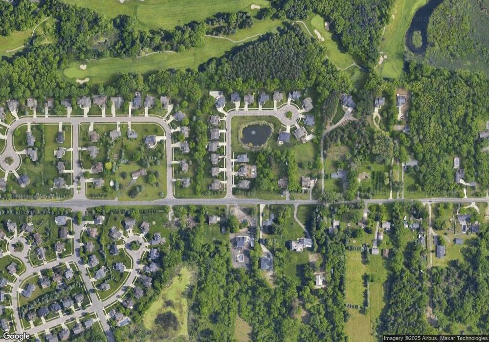
Map
Nearby Homes
- 16460 Sanctuary Cir
- 6910 Coleman Rd
- 16673 Sundew Cir
- 16931 Black Walnut Ln
- 0 English Oak Dr
- 16930 Broadview Dr
- 6708 English Oak Dr
- 16092 Center Rd
- 6285 Heathfield Dr
- 16959 Kernwood Rd
- 6370 Royal Oak Dr
- 1827 Towner Rd
- 16925 Willowbrook Dr
- 15804 Culver Dr
- 5910 Printemp Dr Unit 28
- 6445 Pine Hollow Dr
- 2471 Overglen Ct
- 1779 Baker St
- 15632 Park Lake Rd
- 7822 Forestview Dr
- 16555 Sanctuary Cir
- 16595 Sanctuary Cir
- 16580 Sanctuary Cir
- 16600 Sanctuary Cir
- 6645 Coleman Rd
- 16540 Sanctuary Cir
- 6586 Coleman Rd
- 16385 Sanctuary Cir
- 16520 Sanctuary Cir
- 6624 Coleman Rd
- 6621 Brassie Shot Rd
- 6631 Brassie Shot Rd
- 6580 Coleman Rd
- 6669 Coleman Rd
- 6611 Brassie Shot Rd
- 16500 Sanctuary Cir
- 0 E Sanctuary Cir Unit 143556
- 16365 Sanctuary Cir
- 6601 Brassie Shot Rd