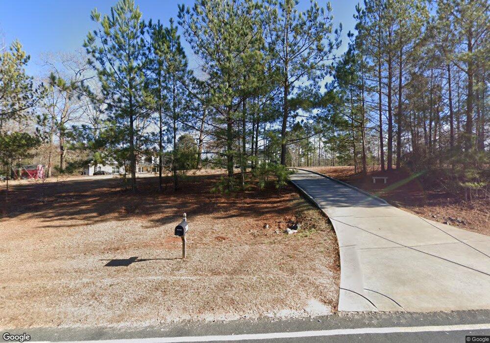
1658 Tim Currin Rd Lillington, NC 27546
Estimated Value: $371,000 - $611,000
3
Beds
3
Baths
2,880
Sq Ft
$155/Sq Ft
Est. Value
About This Home
This home is located at 1658 Tim Currin Rd, Lillington, NC 27546 and is currently estimated at $447,417, approximately $155 per square foot. 1658 Tim Currin Rd is a home located in Harnett County with nearby schools including Boone Trail Elementary School, Western Harnett Middle School, and Western Harnett High School.
Ownership History
Date
Name
Owned For
Owner Type
Purchase Details
Closed on
Jul 31, 2023
Sold by
Raig Peter Frank and Raig Jaime
Bought by
Raig Peter Frank and Bell-Raig Jaime
Current Estimated Value
Home Financials for this Owner
Home Financials are based on the most recent Mortgage that was taken out on this home.
Original Mortgage
$20,000
Outstanding Balance
$19,532
Interest Rate
6.67%
Mortgage Type
Credit Line Revolving
Estimated Equity
$427,885
Purchase Details
Closed on
Dec 31, 2019
Sold by
Raig Wendi Dawn
Bought by
Raig Peter Frank
Purchase Details
Closed on
Jul 7, 2005
Sold by
Brown Elisie H
Bought by
Stanly Richmond & Co
Home Financials for this Owner
Home Financials are based on the most recent Mortgage that was taken out on this home.
Original Mortgage
$54,589
Interest Rate
5.57%
Mortgage Type
Future Advance Clause Open End Mortgage
Create a Home Valuation Report for This Property
The Home Valuation Report is an in-depth analysis detailing your home's value as well as a comparison with similar homes in the area
Home Values in the Area
Average Home Value in this Area
Purchase History
| Date | Buyer | Sale Price | Title Company |
|---|---|---|---|
| Raig Peter Frank | -- | None Listed On Document | |
| Raig Peter Frank | -- | None Listed On Document | |
| Raig Peter Frank | -- | None Available | |
| Stanly Richmond & Co | $59,000 | None Available | |
| Bethune Jonathan R | $59,000 | None Available |
Source: Public Records
Mortgage History
| Date | Status | Borrower | Loan Amount |
|---|---|---|---|
| Open | Raig Peter Frank | $20,000 | |
| Closed | Raig Peter Frank | $20,000 | |
| Previous Owner | Bethune Jonathan R | $54,589 |
Source: Public Records
Tax History Compared to Growth
Tax History
| Year | Tax Paid | Tax Assessment Tax Assessment Total Assessment is a certain percentage of the fair market value that is determined by local assessors to be the total taxable value of land and additions on the property. | Land | Improvement |
|---|---|---|---|---|
| 2025 | $2,389 | $328,686 | $0 | $0 |
| 2024 | $2,356 | $328,686 | $0 | $0 |
| 2023 | $2,356 | $328,686 | $0 | $0 |
| 2022 | $1,993 | $328,686 | $0 | $0 |
| 2021 | $1,993 | $232,650 | $0 | $0 |
| 2020 | $1,993 | $232,650 | $0 | $0 |
| 2019 | $1,978 | $232,650 | $0 | $0 |
| 2018 | $1,978 | $232,650 | $0 | $0 |
| 2017 | $1,978 | $232,650 | $0 | $0 |
| 2016 | $1,985 | $233,480 | $0 | $0 |
| 2015 | $1,985 | $233,480 | $0 | $0 |
| 2014 | $1,985 | $233,480 | $0 | $0 |
Source: Public Records
Map
Nearby Homes
- 1599 Tim Currin Rd
- 273 Hawksmoore Ln
- 264 Hawksmoore Ln
- 644 Moores Chapel Rd
- 93 Finsbury Ct
- 71 Hawksmoore Ln
- 2651 Tim Currin Rd
- CALI Plan at McKay Place
- HAYDEN Plan at McKay Place
- WILMINGTON Plan at McKay Place
- COLUMBIA Plan at McKay Place
- 57 Black Creek Dr
- 22 Black Creek Dr
- 441 Black Duck (Lot 101) Ln
- 416 Black Duck (Lot 78) Ln
- 465 Black Duck (Lot 103) Ln
- 1698 Tim Currin Rd
- 1588 Tim Currin Rd
- 1697 Tim Currin Rd
- 1635 Tim Currin Rd
- 1514 Tim Currin Rd
- 1503 Tim Currin Rd
- 1465 Tim Currin Rd
- 1250 Tim Currin Rd
- 0 Tim Currin Rd Unit 717437
- 0 Tim Currin Rd Unit 1642224
- 0 Tim Currin Rd Unit 948828
- 0 Tim Currin Rd Unit 792884
- 0 Tim Currin Rd Unit 819305
- 0 Tim Currin Rd Unit 857034
- 0 Tim Currin Rd Unit 792881
- 0 Tim Currin Rd Unit 819301
- 0 Tim Currin Rd Unit Tract 2 TR1642224
- 0 Tim Currin Rd Unit 349163
- 0 Tim Currin Rd Unit TR1793096
- 0 Tim Currin Rd Unit 644764