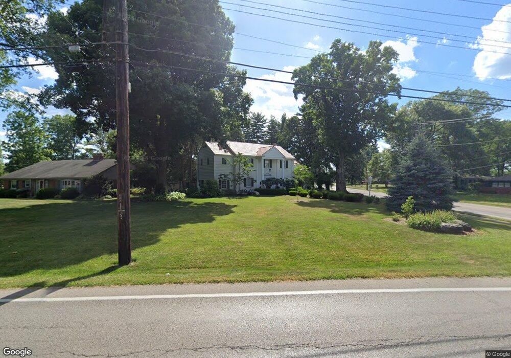
1659 Anderson Ferry Rd Cincinnati, OH 45238
Estimated Value: $425,000 - $453,000
4
Beds
4
Baths
2,376
Sq Ft
$185/Sq Ft
Est. Value
About This Home
This home is located at 1659 Anderson Ferry Rd, Cincinnati, OH 45238 and is currently estimated at $440,636, approximately $185 per square foot. 1659 Anderson Ferry Rd is a home located in Hamilton County with nearby schools including Covedale School, Gilbert A. Dater High School, and Western Hills High School.
Ownership History
Date
Name
Owned For
Owner Type
Purchase Details
Closed on
Nov 20, 2003
Sold by
Stroud Donna L and Stroud Anthony W
Bought by
Grawe Stephen F
Current Estimated Value
Home Financials for this Owner
Home Financials are based on the most recent Mortgage that was taken out on this home.
Original Mortgage
$219,400
Outstanding Balance
$102,421
Interest Rate
6.1%
Mortgage Type
Unknown
Estimated Equity
$338,215
Purchase Details
Closed on
Jan 6, 1998
Sold by
Stroud Anthony W
Bought by
Stroud Donna L
Purchase Details
Closed on
Mar 10, 1995
Sold by
Goodwin Richard H
Bought by
Stroud Anthony W and Stroud Donna L
Home Financials for this Owner
Home Financials are based on the most recent Mortgage that was taken out on this home.
Original Mortgage
$168,000
Interest Rate
9.13%
Create a Home Valuation Report for This Property
The Home Valuation Report is an in-depth analysis detailing your home's value as well as a comparison with similar homes in the area
Home Values in the Area
Average Home Value in this Area
Purchase History
| Date | Buyer | Sale Price | Title Company |
|---|---|---|---|
| Grawe Stephen F | -- | Vintage Title Agency Inc | |
| Stroud Donna L | -- | Superior Title Agency Inc | |
| Stroud Anthony W | -- | -- |
Source: Public Records
Mortgage History
| Date | Status | Borrower | Loan Amount |
|---|---|---|---|
| Open | Grawe Stephen F | $219,400 | |
| Previous Owner | Stroud Anthony W | $168,000 |
Source: Public Records
Tax History Compared to Growth
Tax History
| Year | Tax Paid | Tax Assessment Tax Assessment Total Assessment is a certain percentage of the fair market value that is determined by local assessors to be the total taxable value of land and additions on the property. | Land | Improvement |
|---|---|---|---|---|
| 2024 | $7,600 | $129,290 | $22,855 | $106,435 |
| 2023 | $7,751 | $129,290 | $22,855 | $106,435 |
| 2022 | $5,655 | $78,810 | $18,305 | $60,505 |
| 2021 | $5,133 | $78,810 | $18,305 | $60,505 |
| 2020 | $5,206 | $78,810 | $18,305 | $60,505 |
| 2019 | $5,166 | $70,368 | $16,345 | $54,023 |
| 2018 | $5,177 | $70,368 | $16,345 | $54,023 |
| 2017 | $4,943 | $70,368 | $16,345 | $54,023 |
| 2016 | $4,850 | $67,757 | $16,814 | $50,943 |
| 2015 | $4,368 | $67,757 | $16,814 | $50,943 |
| 2014 | $4,399 | $67,757 | $16,814 | $50,943 |
| 2013 | $4,207 | $66,858 | $16,986 | $49,872 |
Source: Public Records
Map
Nearby Homes
- 1629 Anderson Ferry Rd
- 1605 Anderson Ferry Rd
- 5329 Julmar Dr
- 5326 Julmar Dr
- 1660 Anderson Ferry Rd
- 1630 Anderson Ferry Rd
- 1700 Anderson Ferry Rd
- 1599 Anderson Ferry Rd
- 1610 Anderson Ferry Rd
- 5337 Julmar Dr
- 5304 Quailwood Ct
- 1720 Anderson Ferry Rd
- 5338 Julmar Dr
- 5336 Julmar Dr
- 5308 Quailwood Ct
- 1705 Leona Dr
- 1701 Leona Dr
- 1697 Leona Dr
- 1703 Leona Dr
- 5316 Quailwood Ct