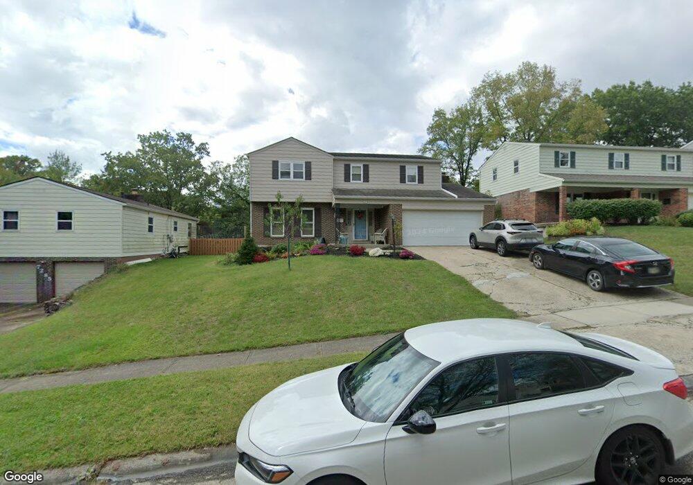
1659 Eastwind Ct Cincinnati, OH 45230
Sherwood NeighborhoodEstimated Value: $312,000 - $382,000
4
Beds
3
Baths
2,036
Sq Ft
$175/Sq Ft
Est. Value
About This Home
This home is located at 1659 Eastwind Ct, Cincinnati, OH 45230 and is currently estimated at $356,276, approximately $174 per square foot. 1659 Eastwind Ct is a home located in Hamilton County with nearby schools including Sherwood Elementary School, Nagel Middle School, and Turpin High School.
Ownership History
Date
Name
Owned For
Owner Type
Purchase Details
Closed on
Aug 1, 2001
Sold by
Linton Clifford C and Linton Irene A
Bought by
Abrams Charles E and Abrams Michelle
Current Estimated Value
Home Financials for this Owner
Home Financials are based on the most recent Mortgage that was taken out on this home.
Original Mortgage
$126,063
Outstanding Balance
$49,175
Interest Rate
7.15%
Mortgage Type
FHA
Estimated Equity
$307,101
Create a Home Valuation Report for This Property
The Home Valuation Report is an in-depth analysis detailing your home's value as well as a comparison with similar homes in the area
Home Values in the Area
Average Home Value in this Area
Purchase History
| Date | Buyer | Sale Price | Title Company |
|---|---|---|---|
| Abrams Charles E | $138,000 | -- |
Source: Public Records
Mortgage History
| Date | Status | Borrower | Loan Amount |
|---|---|---|---|
| Open | Abrams Charles E | $126,063 |
Source: Public Records
Tax History Compared to Growth
Tax History
| Year | Tax Paid | Tax Assessment Tax Assessment Total Assessment is a certain percentage of the fair market value that is determined by local assessors to be the total taxable value of land and additions on the property. | Land | Improvement |
|---|---|---|---|---|
| 2024 | $6,803 | $111,941 | $15,397 | $96,544 |
| 2023 | $6,471 | $111,941 | $15,397 | $96,544 |
| 2022 | $4,699 | $72,324 | $10,339 | $61,985 |
| 2021 | $4,588 | $72,324 | $10,339 | $61,985 |
| 2020 | $4,641 | $72,324 | $10,339 | $61,985 |
| 2019 | $4,523 | $64,005 | $9,149 | $54,856 |
| 2018 | $4,238 | $64,005 | $9,149 | $54,856 |
| 2017 | $3,997 | $64,005 | $9,149 | $54,856 |
| 2016 | $3,716 | $58,125 | $9,349 | $48,776 |
| 2015 | $3,609 | $58,125 | $9,349 | $48,776 |
| 2014 | $3,612 | $58,125 | $9,349 | $48,776 |
| 2013 | $3,349 | $56,988 | $9,167 | $47,821 |
Source: Public Records
Map
Nearby Homes
- 7027 Paddison Rd
- 7053 Paddison Rd
- 1452 Verdale Dr
- 7114 Paddison Rd
- 1983 Finsbury Ct
- 1731 Rudyard Ln
- 7026 Queensway Ln
- 7325 State Rd
- 7080 Petri Dr
- 1395 Tallberry Dr
- 1391 Collinsdale Ave
- 1659 Robinway Dr
- 1679 Locksley Dr
- 7216 Bridges Rd
- 7109 Woodridge Dr
- 7046 Beechmont Ave
- 6966 Beechmont Ave
- 1714 Emerald Glade Ln Unit 5E
- 7179 Paddison Rd
- 1629 Cohasset Dr
- 1667 Eastwind Ct
- 7285 Gungadin Dr
- 1673 Eastwind Ct
- 7174 Grantham Way
- 7172 Grantham Way
- 7271 Gungadin Dr
- 1681 Eastwind Ct
- 7166 Grantham Way
- 1660 Eastwind Ct
- 1668 Eastwind Ct
- 7307 Gungadin Dr
- 1674 Eastwind Ct
- 7160 Grantham Way
- 1687 Eastwind Ct
- 7290 Gungadin Dr
- 7282 Gungadin Dr
- 7152 Grantham Way
- 7276 Gungadin Dr
- 7296 Gungadin Dr
- 7268 Gungadin Dr