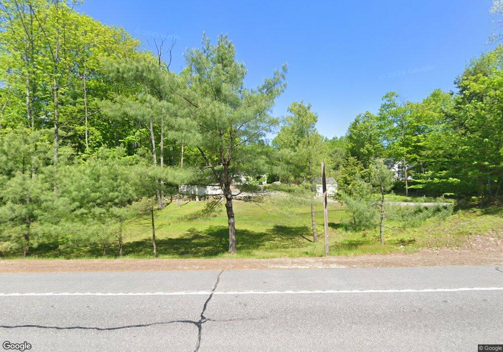
1659 Lewiston Rd Litchfield, ME 04350
Estimated Value: $337,000 - $397,776
4
Beds
2
Baths
1,232
Sq Ft
$299/Sq Ft
Est. Value
About This Home
This home is located at 1659 Lewiston Rd, Litchfield, ME 04350 and is currently estimated at $368,944, approximately $299 per square foot. 1659 Lewiston Rd is a home located in Kennebec County with nearby schools including Libby-Tozier School, Sabattus Primary School, and Carrie Ricker School.
Ownership History
Date
Name
Owned For
Owner Type
Purchase Details
Closed on
Nov 13, 2014
Sold by
Line 2Nd Roger G
Bought by
Line 2Nd Roger G and Line Amy D
Current Estimated Value
Home Financials for this Owner
Home Financials are based on the most recent Mortgage that was taken out on this home.
Original Mortgage
$36,000
Interest Rate
4.17%
Mortgage Type
Commercial
Create a Home Valuation Report for This Property
The Home Valuation Report is an in-depth analysis detailing your home's value as well as a comparison with similar homes in the area
Home Values in the Area
Average Home Value in this Area
Purchase History
| Date | Buyer | Sale Price | Title Company |
|---|---|---|---|
| Line 2Nd Roger G | -- | -- |
Source: Public Records
Mortgage History
| Date | Status | Borrower | Loan Amount |
|---|---|---|---|
| Closed | Line 2Nd Roger G | $36,000 |
Source: Public Records
Tax History Compared to Growth
Tax History
| Year | Tax Paid | Tax Assessment Tax Assessment Total Assessment is a certain percentage of the fair market value that is determined by local assessors to be the total taxable value of land and additions on the property. | Land | Improvement |
|---|---|---|---|---|
| 2024 | $3,270 | $229,500 | $75,200 | $154,300 |
| 2023 | $3,098 | $229,500 | $75,200 | $154,300 |
| 2022 | $3,007 | $191,300 | $62,600 | $128,700 |
| 2021 | $2,703 | $191,300 | $62,600 | $128,700 |
| 2020 | $2,716 | $191,300 | $62,600 | $128,700 |
| 2019 | $2,678 | $191,300 | $62,600 | $128,700 |
| 2018 | $2,292 | $141,905 | $62,000 | $79,905 |
| 2017 | $2,310 | $143,018 | $62,000 | $81,018 |
| 2016 | $2,334 | $144,527 | $63,500 | $81,027 |
| 2015 | $2,265 | $145,630 | $63,500 | $82,130 |
| 2014 | $1,740 | $122,140 | $40,000 | $82,140 |
| 2013 | $1,516 | $123,253 | $40,000 | $83,253 |
Source: Public Records
Map
Nearby Homes
- 0 Rd Unit 1590643
- 0 Route 9-126 Litchfield Dr Unit 1604469
- 18 Huntington Hill Rd
- 7 Lintonia Dr Unit 7
- 18 Lintonia Dr Unit 17
- 1809 Lewiston Rd
- Lot 12 Hallowell Rd
- 0 Hallowell Rd Unit 1627507
- 69 Scott Dr
- 46 Chipmunk Ln
- 42 Chipmunk
- 47 Fickett Dr
- 119 Grant Rd
- 75 Grant Rd
- Lot 8D Hallowell Rd
- 244 Buker Rd
- 105 Whippoorwill Rd
- 73 Oak Hill Rd
- 11 Oak Hill Rd
- 476 Pine Tree Rd
- 1664 Lewiston Rd
- 1654 Lewiston Rd
- 10 Lucky Dr
- 1670 Lewiston Rd
- 1646 Lewiston Rd
- Lot 1 Nottingham Ln
- 0 Huntington Hill
- 2 Huntington Hill Rd
- 0 Huntington Hill Rd
- 0 Huntington Rd Unit 1129834
- Lot #4 Huntington Hill Rd
- Lot B Nottingham Ln
- Lot A Nottingham Ln
- 2 Nottingham Ln
- 2 Nottingham Ln
- 2 Nottingham Ln
- 2 Nottingham Ln
- 6 Huntington Hill Rd
- 6 Huntington Hill Rd
- 1 Huntington Hill Rd