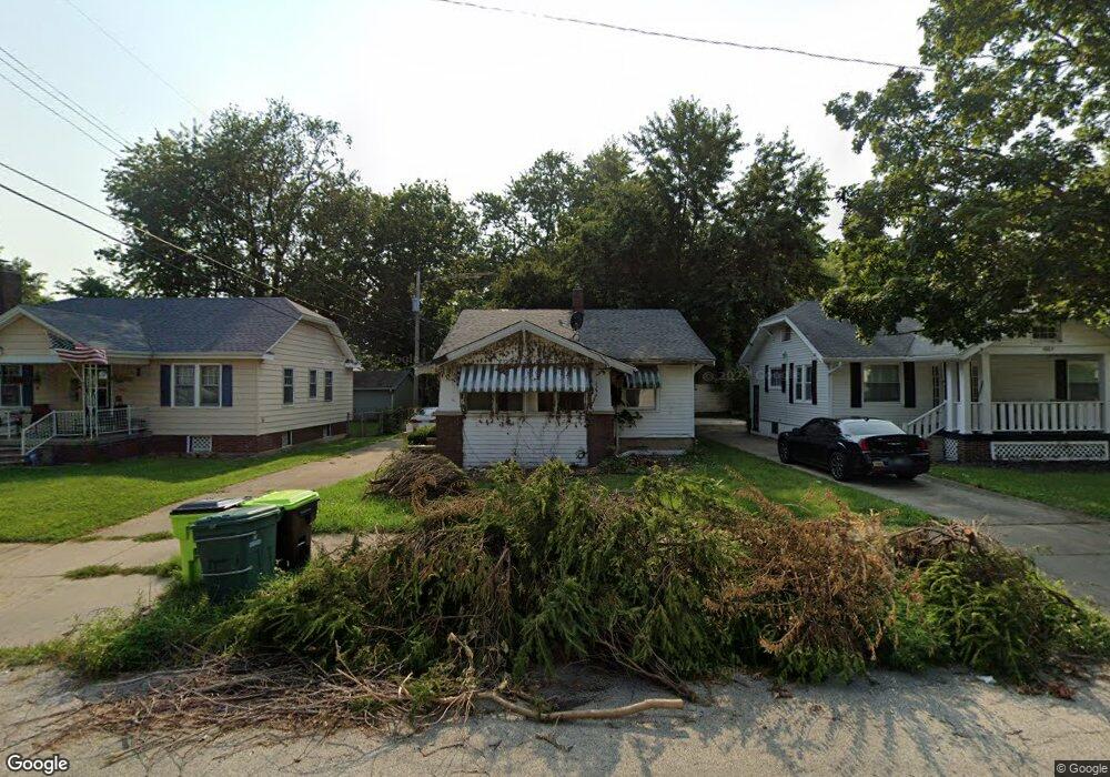
1659 N Maple Ave Decatur, IL 62526
Neighborhood Empowerment NeighborhoodEstimated Value: $36,000 - $56,000
2
Beds
1
Bath
1,812
Sq Ft
$25/Sq Ft
Est. Value
About This Home
This home is located at 1659 N Maple Ave, Decatur, IL 62526 and is currently estimated at $44,431, approximately $24 per square foot. 1659 N Maple Ave is a home located in Macon County with nearby schools including Stephen Decatur Middle School.
Ownership History
Date
Name
Owned For
Owner Type
Purchase Details
Closed on
Oct 11, 2022
Sold by
Bullock Rodney
Bought by
Grant Nancy
Current Estimated Value
Purchase Details
Closed on
Jul 19, 2006
Sold by
Deutsche Bank National Trust Co
Bought by
Bullock Rodney
Purchase Details
Closed on
Jun 13, 2006
Sold by
Brown Mehssa and Mines Melissa Ann
Bought by
Deutsche Bank National Trust Co
Create a Home Valuation Report for This Property
The Home Valuation Report is an in-depth analysis detailing your home's value as well as a comparison with similar homes in the area
Home Values in the Area
Average Home Value in this Area
Purchase History
| Date | Buyer | Sale Price | Title Company |
|---|---|---|---|
| Grant Nancy | -- | -- | |
| Bullock Rodney | $18,000 | None Available | |
| Deutsche Bank National Trust Co | -- | None Available |
Source: Public Records
Mortgage History
| Date | Status | Borrower | Loan Amount |
|---|---|---|---|
| Closed | Bullock Rodney | $0 |
Source: Public Records
Tax History Compared to Growth
Tax History
| Year | Tax Paid | Tax Assessment Tax Assessment Total Assessment is a certain percentage of the fair market value that is determined by local assessors to be the total taxable value of land and additions on the property. | Land | Improvement |
|---|---|---|---|---|
| 2024 | $1,004 | $10,371 | $437 | $9,934 |
| 2023 | $996 | $10,004 | $422 | $9,582 |
| 2022 | $938 | $9,170 | $390 | $8,780 |
| 2021 | $881 | $8,564 | $365 | $8,199 |
| 2020 | $869 | $8,168 | $349 | $7,819 |
| 2019 | $869 | $8,168 | $349 | $7,819 |
| 2018 | $937 | $8,915 | $198 | $8,717 |
| 2017 | $959 | $9,153 | $203 | $8,950 |
| 2016 | $977 | $9,246 | $205 | $9,041 |
| 2015 | $1,038 | $10,155 | $176 | $9,979 |
| 2014 | $964 | $10,054 | $174 | $9,880 |
| 2013 | $996 | $10,432 | $181 | $10,251 |
Source: Public Records
Map
Nearby Homes
- 1653 N Maple Ave
- 933 W Division St
- 1545 N Monroe St
- 1504 N Monroe St
- 1915 N Monroe St
- 837 W Grand Ave
- 1245 N Union St
- 1770 N Church St
- 230 W Garfield Ave
- 1568 N Main St
- 1558 N Main St
- 1319 W Waggoner St
- 240 E Olive St
- 1535 N Mcclellan Ave
- 2480 N Graceland Ave
- 1530 W Cushing St
- 844 N Edward St
- 141 E Packard St
- 415 W Green St
- 1065 W Green St
- 1665 N Maple Ave
- 837 W Olive St
- 1675 N Maple Ave
- 1651 N Maple Ave
- 847 W Olive St
- 1660 N Maple Ave
- 789 W Olive St
- 802 W Division St
- 1650 N Maple Ave
- 826 W Division St
- 769 W Olive St
- 770 W Division St
- 854 W Division St
- 834 W Division St
- 855 W Olive St
- 761 W Olive St
- 768 W Division St
- 863 W Olive St
- 864 W Division St
- 760 W Division St