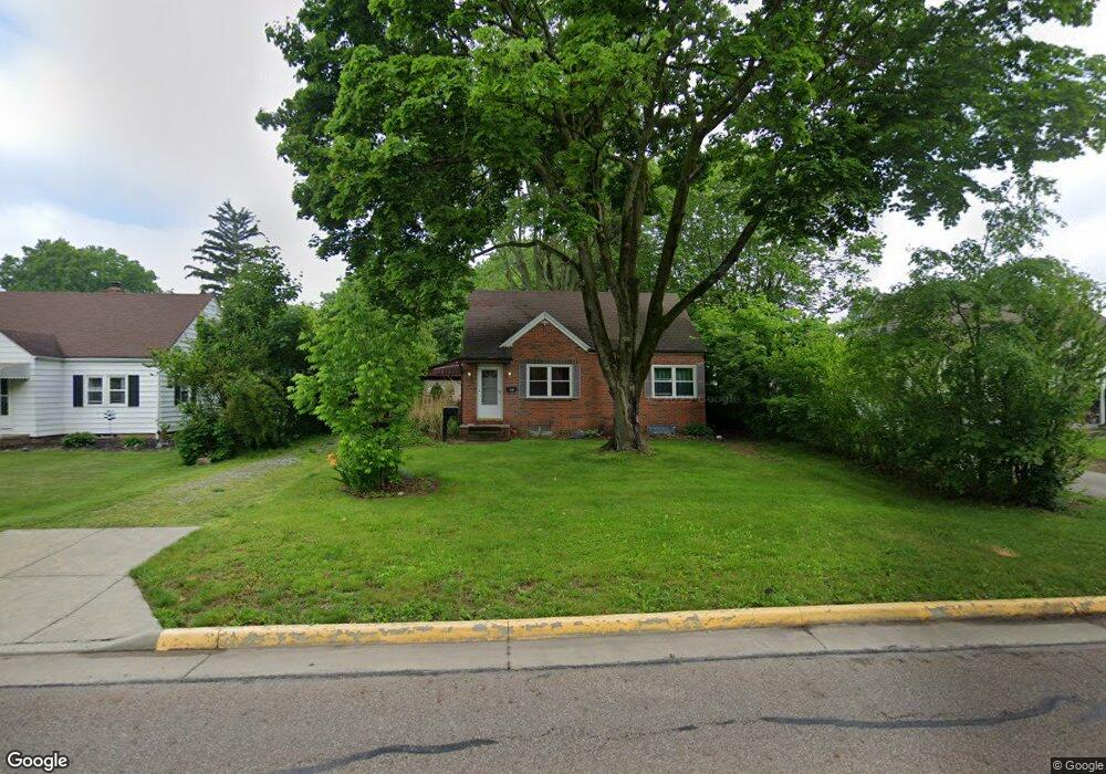
166 9th St NE Barberton, OH 44203
East Barberton NeighborhoodEstimated Value: $163,000 - $180,000
3
Beds
2
Baths
775
Sq Ft
$226/Sq Ft
Est. Value
About This Home
This home is located at 166 9th St NE, Barberton, OH 44203 and is currently estimated at $174,940, approximately $225 per square foot. 166 9th St NE is a home located in Summit County with nearby schools including Barberton Intermediate School 3-5, Barberton Middle School, and Barberton High School.
Ownership History
Date
Name
Owned For
Owner Type
Purchase Details
Closed on
May 22, 2007
Sold by
Daughtry Robert E
Bought by
Lister Ted Alan and Lister Deborah Kathleen
Current Estimated Value
Home Financials for this Owner
Home Financials are based on the most recent Mortgage that was taken out on this home.
Original Mortgage
$80,400
Interest Rate
6.27%
Mortgage Type
Purchase Money Mortgage
Create a Home Valuation Report for This Property
The Home Valuation Report is an in-depth analysis detailing your home's value as well as a comparison with similar homes in the area
Home Values in the Area
Average Home Value in this Area
Purchase History
| Date | Buyer | Sale Price | Title Company |
|---|---|---|---|
| Lister Ted Alan | $86,900 | Johnson & Parrish Title |
Source: Public Records
Mortgage History
| Date | Status | Borrower | Loan Amount |
|---|---|---|---|
| Closed | Lister Ted Alan | $80,400 |
Source: Public Records
Tax History Compared to Growth
Tax History
| Year | Tax Paid | Tax Assessment Tax Assessment Total Assessment is a certain percentage of the fair market value that is determined by local assessors to be the total taxable value of land and additions on the property. | Land | Improvement |
|---|---|---|---|---|
| 2025 | $2,438 | $48,777 | $11,785 | $36,992 |
| 2024 | $2,438 | $48,777 | $11,785 | $36,992 |
| 2023 | $2,438 | $48,777 | $11,785 | $36,992 |
| 2022 | $2,085 | $36,162 | $8,540 | $27,622 |
| 2021 | $2,083 | $36,162 | $8,540 | $27,622 |
| 2020 | $2,038 | $36,160 | $8,540 | $27,620 |
| 2019 | $1,844 | $29,620 | $8,540 | $21,080 |
| 2018 | $1,816 | $29,620 | $8,540 | $21,080 |
| 2017 | $1,603 | $29,620 | $8,540 | $21,080 |
| 2016 | $1,606 | $25,800 | $8,540 | $17,260 |
| 2015 | $1,603 | $25,800 | $8,540 | $17,260 |
| 2014 | $1,594 | $25,800 | $8,540 | $17,260 |
| 2013 | $1,891 | $31,740 | $8,540 | $23,200 |
Source: Public Records
Map
Nearby Homes
- 721 E Ford Ave
- 653 Washington Ave
- 611 Franklin Ave
- V/L 1.16 Acres E Tuscarawas Extension
- 492 E Hopocan Ave
- 274 E State St
- 749 Fairview Ave
- 477 Robinson Ave
- 357 E Paige Ave
- 409 Franklin Ave
- 349 E Hopocan Ave
- 251 Slate Ridge Dr
- 951 S Azalea Blvd
- 332 Lincoln Ave
- 536 Austin Dr
- 308 E Baird Ave
- 986 S Azalea Blvd
- 311 Holly Place
- 2953 Clearfield Ave
- 202 W Heatherwood Dr
- 172 9th St NE
- 158 9th St NE
- 697 E Cassell Ave
- 706 E Paige Ave
- 696 E Paige Ave
- 167 9th St NE
- 691 E Cassell Ave
- 175 9th St NE
- 146 9th St NE
- 690 E Paige Ave
- 159 9th St NE
- 685 E Cassell Ave
- 696 E Cassell Ave
- 190 9th St NE
- 140 9th St NE
- 682 E Paige Ave
- 688 E Cassell Ave
- 147 9th St NE
- 695 E Paige Ave
- 679 E Cassell Ave