166 Acorn Ln Kunkletown, PA 18058
Estimated Value: $206,530 - $233,000
3
Beds
1
Bath
1,008
Sq Ft
$221/Sq Ft
Est. Value
About This Home
This home is located at 166 Acorn Ln, Kunkletown, PA 18058 and is currently estimated at $222,633, approximately $220 per square foot. 166 Acorn Ln is a home with nearby schools including Pleasant Valley Elementary School, Pleasant Valley Intermediate School, and Pleasant Valley Middle School.
Ownership History
Date
Name
Owned For
Owner Type
Purchase Details
Closed on
Aug 29, 2024
Sold by
Petrides James and Petrides Donna
Bought by
Petrides Family Trust and Petrides
Current Estimated Value
Purchase Details
Closed on
Oct 12, 2005
Sold by
Kwiatkowski Michael A
Bought by
Petrides James and Petrides Donna
Home Financials for this Owner
Home Financials are based on the most recent Mortgage that was taken out on this home.
Original Mortgage
$115,200
Interest Rate
5.79%
Mortgage Type
New Conventional
Create a Home Valuation Report for This Property
The Home Valuation Report is an in-depth analysis detailing your home's value as well as a comparison with similar homes in the area
Home Values in the Area
Average Home Value in this Area
Purchase History
| Date | Buyer | Sale Price | Title Company |
|---|---|---|---|
| Petrides Family Trust | -- | None Listed On Document | |
| Petrides James | $144,000 | Fidelity Home Abstract Inc |
Source: Public Records
Mortgage History
| Date | Status | Borrower | Loan Amount |
|---|---|---|---|
| Previous Owner | Petrides James | $115,200 |
Source: Public Records
Tax History Compared to Growth
Tax History
| Year | Tax Paid | Tax Assessment Tax Assessment Total Assessment is a certain percentage of the fair market value that is determined by local assessors to be the total taxable value of land and additions on the property. | Land | Improvement |
|---|---|---|---|---|
| 2025 | $513 | $81,010 | $17,440 | $63,570 |
| 2024 | $372 | $81,010 | $17,440 | $63,570 |
| 2023 | $2,307 | $81,010 | $17,440 | $63,570 |
| 2022 | $2,241 | $81,010 | $17,440 | $63,570 |
| 2021 | $2,190 | $81,010 | $17,440 | $63,570 |
| 2020 | $2,241 | $81,010 | $17,440 | $63,570 |
| 2019 | $2,390 | $13,630 | $2,500 | $11,130 |
| 2018 | $2,362 | $13,630 | $2,500 | $11,130 |
| 2017 | $2,362 | $13,630 | $2,500 | $11,130 |
| 2016 | $348 | $13,630 | $2,500 | $11,130 |
| 2015 | -- | $13,630 | $2,500 | $11,130 |
| 2014 | -- | $13,630 | $2,500 | $11,130 |
Source: Public Records
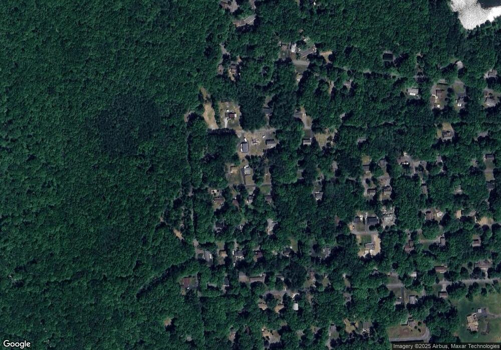
Map
Nearby Homes
- 148 Acorn Ln
- 0 Poplar Ln 33 Ln
- 0 Poplar Ln 29 Ln
- 134 Poplar Ln
- 179 El Do Lake Dr
- 2125 Sassafras Ln
- 2121 Sassafras Ln
- 113 Acorn Ln
- 4167 Forest Dr
- 9338 Sherwood Dr
- 9064 Robinhood Dr
- 4421 Arrow Ln
- 8743 Sherwood Dr
- 9153 Robinhood Dr
- R12 Robinhood Dr
- W14 Greenwood Dr
- Lot K15 Lincoln Green Dr K15
- 4689 Buck Ln
- 8676 Twin Lake Dr
- 131 Stone Ridge Rd