166 Aubree Way McDonough, GA 30252
Estimated Value: $411,326 - $516,000
4
Beds
3
Baths
2,747
Sq Ft
$168/Sq Ft
Est. Value
About This Home
This home is located at 166 Aubree Way, McDonough, GA 30252 and is currently estimated at $461,832, approximately $168 per square foot. 166 Aubree Way is a home located in Henry County with nearby schools including Ola Elementary School, Ola Middle School, and Ola High School.
Ownership History
Date
Name
Owned For
Owner Type
Purchase Details
Closed on
Jul 31, 2018
Sold by
Williams Michael
Bought by
Hovers Marvin Franklin
Current Estimated Value
Home Financials for this Owner
Home Financials are based on the most recent Mortgage that was taken out on this home.
Original Mortgage
$220,500
Outstanding Balance
$191,096
Interest Rate
4.5%
Mortgage Type
New Conventional
Estimated Equity
$270,736
Purchase Details
Closed on
Mar 4, 2008
Sold by
Aubrees Landing Homes Llc
Bought by
United Cmnty Bank
Purchase Details
Closed on
Mar 8, 2007
Sold by
Aubrees Landing Hms Llc
Bought by
Williams Michael
Home Financials for this Owner
Home Financials are based on the most recent Mortgage that was taken out on this home.
Original Mortgage
$280,000
Interest Rate
7.5%
Mortgage Type
New Conventional
Create a Home Valuation Report for This Property
The Home Valuation Report is an in-depth analysis detailing your home's value as well as a comparison with similar homes in the area
Home Values in the Area
Average Home Value in this Area
Purchase History
| Date | Buyer | Sale Price | Title Company |
|---|---|---|---|
| Hovers Marvin Franklin | $245,000 | -- | |
| United Cmnty Bank | $152,218 | -- | |
| Williams Michael | $350,000 | -- |
Source: Public Records
Mortgage History
| Date | Status | Borrower | Loan Amount |
|---|---|---|---|
| Open | Hovers Marvin Franklin | $220,500 | |
| Previous Owner | Williams Michael | $280,000 |
Source: Public Records
Tax History Compared to Growth
Tax History
| Year | Tax Paid | Tax Assessment Tax Assessment Total Assessment is a certain percentage of the fair market value that is determined by local assessors to be the total taxable value of land and additions on the property. | Land | Improvement |
|---|---|---|---|---|
| 2025 | $5,968 | $192,396 | $24,000 | $168,396 |
| 2024 | $5,968 | $194,120 | $24,000 | $170,120 |
| 2023 | $5,187 | $178,080 | $18,000 | $160,080 |
| 2022 | $5,179 | $156,360 | $18,000 | $138,360 |
| 2021 | $4,714 | $136,680 | $18,000 | $118,680 |
| 2020 | $4,486 | $127,040 | $14,800 | $112,240 |
| 2019 | $3,606 | $98,000 | $11,760 | $86,240 |
| 2018 | $4,381 | $111,120 | $12,000 | $99,120 |
| 2016 | $3,657 | $92,240 | $10,000 | $82,240 |
| 2015 | $4,046 | $99,320 | $10,000 | $89,320 |
| 2014 | $3,557 | $85,920 | $10,000 | $75,920 |
Source: Public Records
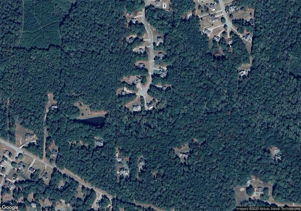
Map
Nearby Homes
- 146 Aubree Way
- 393 Stallsworth Rd
- 505 Judith Ct
- 4075 O Henry Ct
- 3000 Keeneland Blvd
- 1012 Gloria Grand Blvd
- 326 Dylan Way
- 1908 Munford Place
- 1512 Lincoln Terrace
- 180 Mackey Rd
- 170 Mackey Rd
- 150 Mackey Rd
- 125 Floresta Dr
- 530 Austin Dr
- 117 Floresta Dr
- 523 Barhams Ridge Dr
- 0 Wynn Rd Unit 10627608
- 2001 Jefferson Way
- 1105 Patriot Cir
- 501 Barhams Ridge Dr
- 164 Aubree Way
- 170 Aubree Way
- 162 Aubree Way
- 167 Aubree Way
- 163 Aubree Way
- 158 Aubree Way
- 159 Aubree Way
- 154 Aubree Way
- 155 Aubree Way Unit 12
- 155 Aubree Way
- 535 Stallsworth Rd
- 575 Stallsworth Rd
- 495 Stallsworth Rd
- 151 Aubree Way Unit 11
- 151 Aubree Way
- 525 Stallsworth Rd
- 150 Aubree Way
- 150 Aubree Way Unit 3 LOTS
- 565 Stallsworth Rd
- 147 Aubree Way