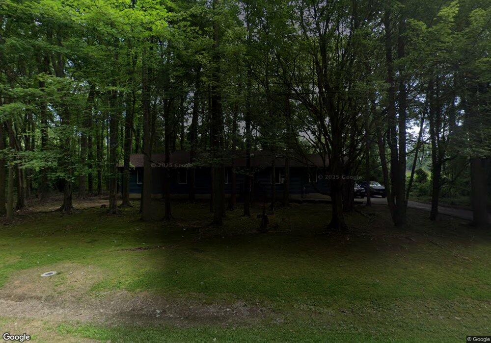
166 Bay Dr Stevensville, MD 21666
Estimated Value: $406,531 - $525,000
--
Bed
2
Baths
1,832
Sq Ft
$260/Sq Ft
Est. Value
About This Home
This home is located at 166 Bay Dr, Stevensville, MD 21666 and is currently estimated at $475,883, approximately $259 per square foot. 166 Bay Dr is a home located in Queen Anne's County with nearby schools including Matapeake Elementary School, Matapeake Middle School, and Kent Island High School.
Ownership History
Date
Name
Owned For
Owner Type
Purchase Details
Closed on
Aug 16, 1990
Sold by
Ray George C and Ray Mary E
Bought by
Helgesen Leroy G and Helgesen Tina C
Current Estimated Value
Home Financials for this Owner
Home Financials are based on the most recent Mortgage that was taken out on this home.
Original Mortgage
$119,300
Interest Rate
10.08%
Purchase Details
Closed on
Sep 30, 1987
Sold by
Harrell Sharon M and Harrell Robert W
Bought by
Ray George C and Ray Mary E
Home Financials for this Owner
Home Financials are based on the most recent Mortgage that was taken out on this home.
Original Mortgage
$67,200
Interest Rate
11.02%
Create a Home Valuation Report for This Property
The Home Valuation Report is an in-depth analysis detailing your home's value as well as a comparison with similar homes in the area
Home Values in the Area
Average Home Value in this Area
Purchase History
| Date | Buyer | Sale Price | Title Company |
|---|---|---|---|
| Helgesen Leroy G | $124,900 | -- | |
| Ray George C | $96,000 | -- |
Source: Public Records
Mortgage History
| Date | Status | Borrower | Loan Amount |
|---|---|---|---|
| Closed | Helgesen Leroy G | $119,300 | |
| Previous Owner | Ray George C | $67,200 |
Source: Public Records
Tax History Compared to Growth
Tax History
| Year | Tax Paid | Tax Assessment Tax Assessment Total Assessment is a certain percentage of the fair market value that is determined by local assessors to be the total taxable value of land and additions on the property. | Land | Improvement |
|---|---|---|---|---|
| 2025 | $3,068 | $338,867 | $0 | $0 |
| 2024 | $2,914 | $313,033 | $0 | $0 |
| 2023 | $2,765 | $287,200 | $153,700 | $133,500 |
| 2022 | $2,743 | $284,767 | $0 | $0 |
| 2021 | $2,745 | $282,333 | $0 | $0 |
| 2020 | $2,745 | $279,900 | $149,800 | $130,100 |
| 2019 | $2,635 | $268,500 | $0 | $0 |
| 2018 | $2,526 | $257,100 | $0 | $0 |
| 2017 | $2,417 | $245,700 | $0 | $0 |
| 2016 | -- | $245,700 | $0 | $0 |
| 2015 | $1,138 | $245,700 | $0 | $0 |
| 2014 | $1,138 | $258,500 | $0 | $0 |
Source: Public Records
Map
Nearby Homes
- 114 Birch Rd
- Lot 7 Maple Rd
- 0 Chesapeake Estates Dr
- 107 Bay Dr
- 104 Bay Dr
- 103 Chesapeake Estates Dr
- 1709 Batts Neck Rd
- 0 Reynolds Ave
- 0 Allen Ave
- 114 Queens Colony High Rd
- 312 Queens Colony High Rd
- 303 Queens Colony High Rd
- 206 Columbia Ln
- 96 Annapolis View Rd
- 410 5 Farms Dr
- 303 Queen Anne Club Dr
- 412 Five Farms Dr
- 312 Columbia Ln
- 100 Eareckson Ln
- 124 Eareckson Ln