166 Benson Dr Blairsville, GA 30512
Estimated Value: $269,000 - $404,000
2
Beds
2
Baths
1,488
Sq Ft
$221/Sq Ft
Est. Value
About This Home
This home is located at 166 Benson Dr, Blairsville, GA 30512 and is currently estimated at $328,442, approximately $220 per square foot. 166 Benson Dr is a home located in Union County with nearby schools including Union County Primary School, Union County Elementary School, and Union County Middle School.
Ownership History
Date
Name
Owned For
Owner Type
Purchase Details
Closed on
Nov 1, 2022
Sold by
Benson Carolyn M
Bought by
Benson Carolyn M and Moore Emily Lynette
Current Estimated Value
Purchase Details
Closed on
May 22, 2019
Sold by
Moore Emily Lynette Benson
Bought by
Benson Carolyn M
Purchase Details
Closed on
Jan 11, 2016
Sold by
Benson Thurman O
Bought by
Moore Emily Lynette Benson
Purchase Details
Closed on
Feb 9, 1990
Bought by
Benson Thurman O
Create a Home Valuation Report for This Property
The Home Valuation Report is an in-depth analysis detailing your home's value as well as a comparison with similar homes in the area
Home Values in the Area
Average Home Value in this Area
Purchase History
| Date | Buyer | Sale Price | Title Company |
|---|---|---|---|
| Benson Carolyn M | -- | -- | |
| Benson Carolyn M | -- | -- | |
| Moore Emily Lynette Benson | -- | -- | |
| Benson Thurman O | $56,000 | -- |
Source: Public Records
Tax History Compared to Growth
Tax History
| Year | Tax Paid | Tax Assessment Tax Assessment Total Assessment is a certain percentage of the fair market value that is determined by local assessors to be the total taxable value of land and additions on the property. | Land | Improvement |
|---|---|---|---|---|
| 2024 | $1,092 | $100,280 | $11,960 | $88,320 |
| 2023 | $1,181 | $96,440 | $11,960 | $84,480 |
| 2022 | $875 | $73,388 | $6,240 | $67,148 |
| 2021 | $897 | $64,600 | $6,240 | $58,360 |
| 2020 | $527 | $35,595 | $11,435 | $24,160 |
| 2019 | $413 | $31,033 | $11,435 | $19,598 |
| 2018 | $545 | $31,033 | $11,435 | $19,598 |
| 2017 | $404 | $31,033 | $11,435 | $19,598 |
| 2016 | $404 | $31,033 | $11,435 | $19,598 |
| 2015 | $407 | $31,033 | $11,435 | $19,598 |
| 2013 | -- | $31,033 | $11,435 | $19,598 |
Source: Public Records
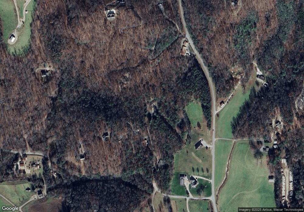
Map
Nearby Homes
- 36 Benson Dr
- 9.36 AC Highway 515
- 271 Burnt Ridge Rd
- 75 Cloud Springs Ln
- 192 Misty Morning Dr
- L2&3 Crab Apple Rd
- 000 Trackrock Gap Rd
- LL321 Turkey Trot
- 33 Frontier Way Unit 13
- 33 Frontier Way
- 74 Frontier Way
- Lot 13 Wilderness Ridge Sub
- 275 Everetts View
- 397 Everetts View
- 206 Timbergate Trail
- 77 Alpine Way
- Lot 228 the Cove @ 1300
- 16 Misty Mountain Ln
- 7 Spring Rd
- 261 Spring Rd
- 99 Bumblefoot Trail
- 206 Bumblefoot Trail
- 0 Bumblefoot Trail
- 80 Benson Dr
- 426 Coker Smith Dr
- 1040 Benson Dr
- 0 Benson Dr
- 975 Post Place
- 145 Joy Ln
- 196 Post Place
- 2567 Trackrock Church Rd
- 2343 Trackrock Church Rd
- 679 Trackrock Church Rd
- 12 Mossy Rock Trail
- lot10 Mossy Rock Trail
- 98 Post Place
- 2273 Trackrock Church Rd
- 336 Mossy Rock Trail
- 4273 Frank Martin Rd
- 322 Mossy Rock Trail