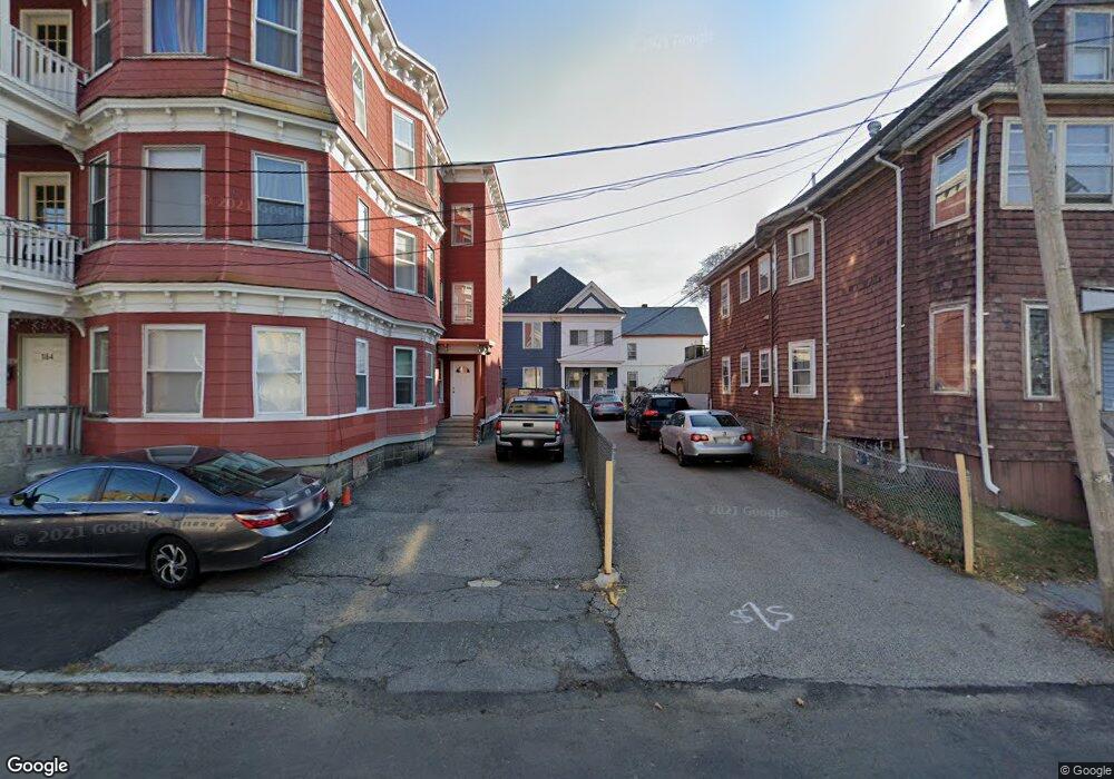
166 Boxford St Unit 168 Lawrence, MA 01843
South Common NeighborhoodEstimated Value: $630,569 - $884,000
4
Beds
2
Baths
2,480
Sq Ft
$305/Sq Ft
Est. Value
About This Home
This home is located at 166 Boxford St Unit 168, Lawrence, MA 01843 and is currently estimated at $755,392, approximately $304 per square foot. 166 Boxford St Unit 168 is a home located in Essex County with nearby schools including John Breen School, South Lawrence East Elementary School, and School For Exceptional Studies.
Ownership History
Date
Name
Owned For
Owner Type
Purchase Details
Closed on
Oct 28, 1988
Sold by
Arivell Salvatore A
Bought by
Vanvando Thiet Van
Current Estimated Value
Home Financials for this Owner
Home Financials are based on the most recent Mortgage that was taken out on this home.
Original Mortgage
$121,500
Interest Rate
10.32%
Mortgage Type
Purchase Money Mortgage
Create a Home Valuation Report for This Property
The Home Valuation Report is an in-depth analysis detailing your home's value as well as a comparison with similar homes in the area
Home Values in the Area
Average Home Value in this Area
Purchase History
| Date | Buyer | Sale Price | Title Company |
|---|---|---|---|
| Vanvando Thiet Van | $135,000 | -- |
Source: Public Records
Mortgage History
| Date | Status | Borrower | Loan Amount |
|---|---|---|---|
| Open | Vanvando Thiet Van | $98,000 | |
| Closed | Vanvando Thiet Van | $113,000 | |
| Closed | Vanvando Thiet Van | $117,400 | |
| Closed | Vanvando Thiet Van | $121,500 |
Source: Public Records
Tax History
| Year | Tax Paid | Tax Assessment Tax Assessment Total Assessment is a certain percentage of the fair market value that is determined by local assessors to be the total taxable value of land and additions on the property. | Land | Improvement |
|---|---|---|---|---|
| 2025 | $4,892 | $555,900 | $103,400 | $452,500 |
| 2024 | $4,792 | $518,000 | $111,900 | $406,100 |
| 2023 | $4,658 | $458,500 | $103,800 | $354,700 |
| 2022 | $4,343 | $379,600 | $94,100 | $285,500 |
| 2021 | $4,244 | $345,900 | $94,100 | $251,800 |
| 2020 | $4,081 | $328,300 | $89,200 | $239,100 |
| 2019 | $4,081 | $298,300 | $74,100 | $224,200 |
| 2018 | $3,738 | $261,000 | $70,200 | $190,800 |
| 2017 | $3,470 | $226,200 | $66,300 | $159,900 |
| 2016 | $3,386 | $218,300 | $54,600 | $163,700 |
| 2015 | $3,320 | $219,600 | $54,600 | $165,000 |
Source: Public Records
Map
Nearby Homes
- 46-46A Dorchester St
- 356-360 S Union St
- 27-29 Dorchester St
- 31 Garfield St
- 183 Farnham St Unit 189
- 161-167 S Union St
- 119 Andover St
- 151-153 Bailey St
- 100 Bailey St Unit 1
- 100 Bailey St Unit 3
- 91-93 Andover St
- 341 S Broadway- Parcel II
- 24 Inman St Unit 4
- 49 Bowdoin St Unit 51
- 82 S Broadway
- 87-87A Brookfield St
- 91-93 Newton St
- 11 W Hawley St
- 12B Stevens St
- 33-35 Coolidge St
- 162 Boxford St Unit 164
- 24 Winthrop Ave
- 156 Boxford St Unit 158
- 170 Boxford St Unit 172
- 28 Winthrop Ave Unit 30
- 38 Cambridge St
- 146 Boxford St Unit 148
- 18 Winthrop Ave
- 40 Cambridge St Unit 42
- 40-42 Cambridge St
- 142 Boxford St Unit 144
- 44 Cambridge St Unit 46
- 27 Winthrop Ave
- 138-140 Boxford St
- 138 Boxford St Unit 140
- 25 Winthrop Ave
- 134 Boxford St Unit 136
- 134-136 Boxford St
- 48-50 Cambridge St
- 48 Cambridge St Unit 50
Your Personal Tour Guide
Ask me questions while you tour the home.