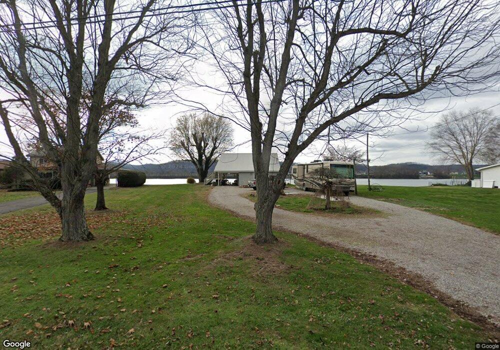
166 Camp St Franklin Furnace, OH 45629
Estimated Value: $105,175 - $141,000
1
Bed
2
Baths
400
Sq Ft
$308/Sq Ft
Est. Value
About This Home
This home is located at 166 Camp St, Franklin Furnace, OH 45629 and is currently estimated at $123,088, approximately $307 per square foot. 166 Camp St is a home located in Scioto County with nearby schools including Green Elementary School, Green High School, and Franklin Furnace Christian Academy.
Ownership History
Date
Name
Owned For
Owner Type
Purchase Details
Closed on
Aug 4, 2021
Sold by
Abbott Richard D and Abbott Ronald C
Bought by
Ruby Andrew and Stone Robert
Current Estimated Value
Home Financials for this Owner
Home Financials are based on the most recent Mortgage that was taken out on this home.
Original Mortgage
$176,739
Outstanding Balance
$160,468
Interest Rate
2.8%
Mortgage Type
FHA
Estimated Equity
-$37,380
Purchase Details
Closed on
Nov 2, 1999
Bought by
Lewis Betty L
Create a Home Valuation Report for This Property
The Home Valuation Report is an in-depth analysis detailing your home's value as well as a comparison with similar homes in the area
Home Values in the Area
Average Home Value in this Area
Purchase History
| Date | Buyer | Sale Price | Title Company |
|---|---|---|---|
| Ruby Andrew | -- | None Listed On Document | |
| Lewis Betty L | $100,000 | -- |
Source: Public Records
Mortgage History
| Date | Status | Borrower | Loan Amount |
|---|---|---|---|
| Open | Ruby Andrew | $176,739 |
Source: Public Records
Tax History Compared to Growth
Tax History
| Year | Tax Paid | Tax Assessment Tax Assessment Total Assessment is a certain percentage of the fair market value that is determined by local assessors to be the total taxable value of land and additions on the property. | Land | Improvement |
|---|---|---|---|---|
| 2024 | $245 | $4,650 | $4,210 | $440 |
| 2023 | $245 | $4,650 | $4,210 | $440 |
| 2022 | $224 | $4,650 | $4,210 | $440 |
| 2021 | $206 | $4,310 | $3,850 | $460 |
| 2020 | $206 | $4,310 | $3,850 | $460 |
| 2019 | $204 | $3,910 | $3,490 | $420 |
| 2018 | $189 | $3,910 | $3,490 | $420 |
| 2017 | $156 | $3,910 | $3,490 | $420 |
| 2016 | $173 | $4,000 | $3,490 | $510 |
| 2015 | $182 | $4,000 | $3,490 | $510 |
| 2013 | $168 | $4,000 | $3,490 | $510 |
Source: Public Records
Map
Nearby Homes
- 176 Camp St
- 0 Riverview Ln Unit 181800
- 0 Church St
- 34 Green Dr
- 0000 Us 23 and St Rt 10
- 863 County Road 9
- 1860 Haverhill Ohio Furance
- 686 Kentucky 827
- 686 State Route 827
- 2337 Smith Branch Rd
- 1516 Gallia Pike
- 3272 Big Pete Rd
- 3272 Big Pete Rd Unit A
- 0 Gerlach Rd Unit 152351
- 0 Gerlach Rd
- 219 Main St
- 71 Patriot Ridge Dr
- 404 Sycamore St
- 0 Duck Puddle Rd
- 1023 Riverside Dr