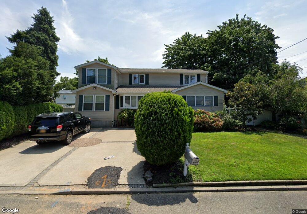
166 Carroll St Port Jefferson Station, NY 11776
Estimated Value: $567,000 - $677,000
3
Beds
1
Bath
1,732
Sq Ft
$355/Sq Ft
Est. Value
About This Home
This home is located at 166 Carroll St, Port Jefferson Station, NY 11776 and is currently estimated at $615,046, approximately $355 per square foot. 166 Carroll St is a home located in Suffolk County with nearby schools including John F Kennedy Middle School and Comsewogue High School.
Ownership History
Date
Name
Owned For
Owner Type
Purchase Details
Closed on
Apr 18, 2000
Sold by
Sguera Savino and Sguera Rita
Bought by
Batista Zoila
Current Estimated Value
Home Financials for this Owner
Home Financials are based on the most recent Mortgage that was taken out on this home.
Original Mortgage
$99,530
Interest Rate
7.64%
Mortgage Type
Seller Take Back
Purchase Details
Closed on
Sep 22, 1995
Sold by
Norden Dale A and Norden Virginia E
Bought by
Sguera Rita and Sguera Savino
Create a Home Valuation Report for This Property
The Home Valuation Report is an in-depth analysis detailing your home's value as well as a comparison with similar homes in the area
Home Values in the Area
Average Home Value in this Area
Purchase History
| Date | Buyer | Sale Price | Title Company |
|---|---|---|---|
| Batista Zoila | $99,530 | Safe Harbor Title | |
| Sguera Rita | $125,000 | Fidelity National Title Ins |
Source: Public Records
Mortgage History
| Date | Status | Borrower | Loan Amount |
|---|---|---|---|
| Closed | Batista Zoila | $36,500 | |
| Previous Owner | Batista Zoila | $99,530 |
Source: Public Records
Tax History Compared to Growth
Tax History
| Year | Tax Paid | Tax Assessment Tax Assessment Total Assessment is a certain percentage of the fair market value that is determined by local assessors to be the total taxable value of land and additions on the property. | Land | Improvement |
|---|---|---|---|---|
| 2024 | $12,250 | $2,875 | $160 | $2,715 |
| 2023 | $12,250 | $2,875 | $160 | $2,715 |
| 2022 | $11,045 | $2,875 | $160 | $2,715 |
| 2021 | $11,045 | $2,875 | $160 | $2,715 |
| 2020 | $11,265 | $2,875 | $160 | $2,715 |
| 2019 | $11,265 | $0 | $0 | $0 |
| 2018 | $10,784 | $2,875 | $160 | $2,715 |
| 2017 | $10,784 | $2,875 | $160 | $2,715 |
| 2016 | $9,332 | $2,500 | $160 | $2,340 |
| 2015 | -- | $2,500 | $160 | $2,340 |
| 2014 | -- | $2,500 | $160 | $2,340 |
Source: Public Records
Map
Nearby Homes
- 171 Minrol St
- 191 Bergen St
- 1209 Sara Cir
- 148 Captains Way
- 1107 Sara Cir Unit "B"
- 105 Commodore Cir
- 203 Sterling St
- 172 Norwood Ave
- 4 Forest Ave
- 460 Old Town Rd Unit 27 P
- 460 Old Town Rd Unit 7G
- 460 Old Town Rd Unit 24E
- 460 Old Town Rd Unit 7K
- 460 Old Town Rd Unit 8H
- 460 Old Town Rd Unit 25L Upper Unit
- 460 Old Town Rd Unit 26P
- 460 Old Town Rd Unit 25M
- 460 Old Town Rd Unit 6N
- 22 Washington Ave
- 30 Yale St