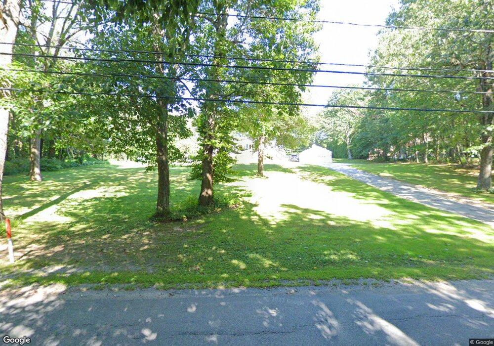
166 Center Depot Rd Charlton, MA 01507
Estimated Value: $373,000 - $450,000
3
Beds
1
Bath
1,248
Sq Ft
$331/Sq Ft
Est. Value
About This Home
This home is located at 166 Center Depot Rd, Charlton, MA 01507 and is currently estimated at $412,958, approximately $330 per square foot. 166 Center Depot Rd is a home located in Worcester County with nearby schools including Shepherd Hill Regional High School.
Ownership History
Date
Name
Owned For
Owner Type
Purchase Details
Closed on
Aug 25, 2023
Sold by
Zinkowsky Stephen P and Zinkowsky Cynthia L
Bought by
S P & C L Zinkowsky Irt and Desanto
Current Estimated Value
Create a Home Valuation Report for This Property
The Home Valuation Report is an in-depth analysis detailing your home's value as well as a comparison with similar homes in the area
Home Values in the Area
Average Home Value in this Area
Purchase History
| Date | Buyer | Sale Price | Title Company |
|---|---|---|---|
| S P & C L Zinkowsky Irt | -- | None Available | |
| S P & C L Zinkowsky Irt | -- | None Available |
Source: Public Records
Tax History Compared to Growth
Tax History
| Year | Tax Paid | Tax Assessment Tax Assessment Total Assessment is a certain percentage of the fair market value that is determined by local assessors to be the total taxable value of land and additions on the property. | Land | Improvement |
|---|---|---|---|---|
| 2025 | $3,707 | $333,100 | $90,100 | $243,000 |
| 2024 | $3,594 | $316,900 | $90,100 | $226,800 |
| 2023 | $3,535 | $290,500 | $87,100 | $203,400 |
| 2022 | $3,385 | $254,700 | $79,300 | $175,400 |
| 2021 | $3,154 | $210,100 | $75,100 | $135,000 |
| 2020 | $3,094 | $207,100 | $72,100 | $135,000 |
| 2019 | $3,059 | $207,100 | $72,100 | $135,000 |
| 2018 | $2,796 | $207,100 | $72,100 | $135,000 |
| 2017 | $2,628 | $186,400 | $66,100 | $120,300 |
| 2016 | $2,569 | $186,400 | $66,100 | $120,300 |
| 2015 | $2,501 | $186,400 | $66,100 | $120,300 |
| 2014 | $2,446 | $193,200 | $68,600 | $124,600 |
Source: Public Records
Map
Nearby Homes
- 199 Center Depot Rd
- 7 Little Muggett Rd
- 208 Sunset Dr
- 9 Knollwood Dr
- 38 Stevens Park Rd
- 65 Old Spencer Rd
- 102 Worcester Rd
- 0 Trolley Crossing Rd
- Lot 0 N Sturbridge Rd
- 25 N Main St Unit A
- 5 Northside Rd
- 8 Northside Rd
- 5 Carpenter Hill Rd
- 3 Cranberry Meadow Shore Rd
- 0 Worcester Rd
- Lot 3 0 N Sullivan Rd
- Lot 6 0 N Sullivan Rd
- Lot 5 0 N Sullivan Rd
- Lot 4 0 N Sullivan Rd
- 45 Jennings Rd
- 162 Center Depot Rd
- 160 Center Depot Rd
- 174 Center Depot Rd
- 171 Center Depot Rd
- 170 Center Depot Rd
- 173 Center Depot Rd
- 178 Center Depot Rd
- 2 Elliott Dr
- 182 Center Depot Rd
- 154 Center Depot Rd
- 175 Center Depot Rd
- 2 Scott Dr
- 4 Elliott Dr
- 4 Scott Dr
- 155 Center Depot Rd
- Lot-A City Depot Rd
- 184 Center Depot Rd
- 179 Center Depot Rd
- 6 Scott Dr
- 152 Center Depot Rd