166 Countryview Ave Dalton, OH 44618
Estimated Value: $402,000 - $610,000
3
Beds
2
Baths
2,568
Sq Ft
$198/Sq Ft
Est. Value
About This Home
This home is located at 166 Countryview Ave, Dalton, OH 44618 and is currently estimated at $507,379, approximately $197 per square foot. 166 Countryview Ave is a home located in Wayne County with nearby schools including Dalton Elementary School, Dalton Middle School, and Dalton High School.
Ownership History
Date
Name
Owned For
Owner Type
Purchase Details
Closed on
Nov 8, 2006
Sold by
Fuchs James W and Fuchs Carolyn M
Bought by
Siders Philip A
Current Estimated Value
Home Financials for this Owner
Home Financials are based on the most recent Mortgage that was taken out on this home.
Original Mortgage
$255,000
Outstanding Balance
$179,871
Interest Rate
9.95%
Mortgage Type
Adjustable Rate Mortgage/ARM
Estimated Equity
$327,508
Purchase Details
Closed on
May 3, 2002
Sold by
Chirdon Annette L
Bought by
Fuchs James W and Fuchs Carolyn M
Purchase Details
Closed on
Sep 2, 1999
Sold by
Dalton Land Co
Bought by
Chirdon Annette L
Create a Home Valuation Report for This Property
The Home Valuation Report is an in-depth analysis detailing your home's value as well as a comparison with similar homes in the area
Purchase History
| Date | Buyer | Sale Price | Title Company |
|---|---|---|---|
| Siders Philip A | $284,900 | West Stark Title | |
| Fuchs James W | $40,000 | -- | |
| Chirdon Annette L | $32,500 | -- |
Source: Public Records
Mortgage History
| Date | Status | Borrower | Loan Amount |
|---|---|---|---|
| Open | Siders Philip A | $255,000 |
Source: Public Records
Tax History
| Year | Tax Paid | Tax Assessment Tax Assessment Total Assessment is a certain percentage of the fair market value that is determined by local assessors to be the total taxable value of land and additions on the property. | Land | Improvement |
|---|---|---|---|---|
| 2024 | $5,897 | $168,840 | $20,220 | $148,620 |
| 2023 | $5,953 | $168,840 | $20,220 | $148,620 |
| 2022 | $5,009 | $123,420 | $16,850 | $106,570 |
| 2021 | $3,940 | $96,220 | $16,850 | $79,370 |
| 2020 | $3,996 | $96,220 | $16,850 | $79,370 |
| 2019 | $3,484 | $85,710 | $16,800 | $68,910 |
| 2018 | $3,503 | $85,710 | $16,800 | $68,910 |
| 2017 | $3,202 | $85,710 | $16,800 | $68,910 |
| 2016 | $3,010 | $75,790 | $16,160 | $59,630 |
| 2015 | $2,950 | $75,790 | $16,160 | $59,630 |
| 2014 | $2,966 | $75,790 | $16,160 | $59,630 |
| 2013 | $3,296 | $82,420 | $16,160 | $66,260 |
Source: Public Records
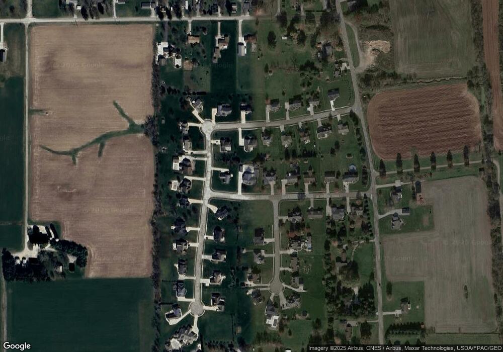
Map
Nearby Homes
- 206 E Main St
- 120 N Church St
- 209 Greenbriar Ln
- 535 W Schultz Ave
- 223 Tanglewood Dr
- 0 Dalton Fox Lake Rd
- 233 Tanglewood Dr
- 61 Hillside Dr
- 71 S Kohler Rd
- 737 S Kohler Rd
- 16780 Burkhart Rd
- 15069 Stanwood St
- 15069 Stanwood St SW
- 4860 SW Lebanon Rd
- 110 S Kansas Rd
- 0 Barrs St SW Unit 5184701
- 14361 Stanwood St SW
- 704 Homestead Pointe Dr
- 122 W Paradise St
- 851 Cleveland Ave
- 156 Countryview Ave
- 421 Overlook Cir
- 145 Farmington Ave
- 165 Farmington Ave
- 146 Countryview Ave
- 425 Overlook Cir
- 155 Farmington Ave
- 0 Farmington Unit 3868953
- 210 Skyview Cir
- 135 Farmington Ave
- 136 Countryview Ave
- 0 Overlook Cir
- 427 Overlook Cir
- 422 Overlook Cir
- 125 Farmington Ave
- 418 Overlook Cir
- 0 Skyview #706 Dr
- 150 Farmington Ave
- 140 Farmington Ave
- 160 Farmington Ave
Your Personal Tour Guide
Ask me questions while you tour the home.