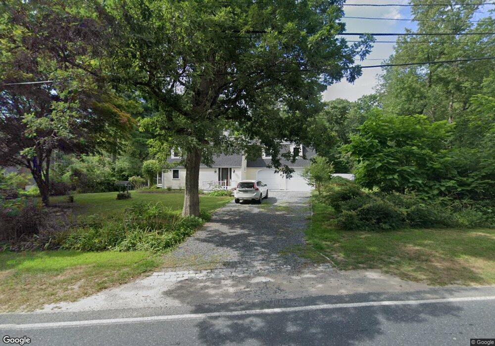
166 County St Rehoboth, MA 02769
Estimated Value: $631,723 - $898,000
4
Beds
2
Baths
2,296
Sq Ft
$324/Sq Ft
Est. Value
About This Home
This home is located at 166 County St, Rehoboth, MA 02769 and is currently estimated at $744,431, approximately $324 per square foot. 166 County St is a home located in Bristol County with nearby schools including Dighton-Rehoboth Regional High School and Cedar Brook School.
Ownership History
Date
Name
Owned For
Owner Type
Purchase Details
Closed on
Oct 16, 2023
Sold by
Balents Robyn E
Bought by
Balents Ft and Balents
Current Estimated Value
Purchase Details
Closed on
Jan 9, 1998
Sold by
Natale Michael A and Natale Christine M
Bought by
Balents Robyn E
Purchase Details
Closed on
Dec 11, 1987
Sold by
Christman Gerald H
Bought by
Natale Michael A
Create a Home Valuation Report for This Property
The Home Valuation Report is an in-depth analysis detailing your home's value as well as a comparison with similar homes in the area
Home Values in the Area
Average Home Value in this Area
Purchase History
| Date | Buyer | Sale Price | Title Company |
|---|---|---|---|
| Balents Ft | -- | None Available | |
| Balents Robyn E | $203,500 | -- | |
| Natale Michael A | $167,500 | -- |
Source: Public Records
Mortgage History
| Date | Status | Borrower | Loan Amount |
|---|---|---|---|
| Previous Owner | Natale Michael A | $144,900 | |
| Previous Owner | Natale Michael A | $155,500 |
Source: Public Records
Tax History
| Year | Tax Paid | Tax Assessment Tax Assessment Total Assessment is a certain percentage of the fair market value that is determined by local assessors to be the total taxable value of land and additions on the property. | Land | Improvement |
|---|---|---|---|---|
| 2025 | $50 | $450,600 | $208,800 | $241,800 |
| 2024 | $5,154 | $453,700 | $208,800 | $244,900 |
| 2023 | $4,902 | $423,300 | $204,800 | $218,500 |
| 2022 | $4,855 | $383,200 | $196,400 | $186,800 |
| 2021 | $5,241 | $354,200 | $180,100 | $174,100 |
| 2020 | $4,685 | $357,100 | $180,100 | $177,000 |
| 2018 | $4,051 | $338,400 | $172,300 | $166,100 |
| 2017 | $2,057 | $319,600 | $172,300 | $147,300 |
| 2016 | $3,883 | $319,600 | $172,300 | $147,300 |
| 2015 | $3,791 | $308,000 | $165,100 | $142,900 |
| 2014 | $3,742 | $300,800 | $157,900 | $142,900 |
Source: Public Records
Map
Nearby Homes
- 248 County
- 23 Bay State Rd
- 0 Winthrop St Unit 73180872
- 145 Winthrop St
- 133 Winthrop St
- 349 Anawan St
- 321 Winthrop St
- 0 Horton St Unit 73333337
- 2713 Horton St
- 24 New St
- 185 Moulton St
- 10 Muriel Way
- 111 Summer St
- 8 Linden Ln
- 8 Linden Ln
- 20 School St
- 19 Cedar St Unit 21
- 257 Anawan St
- 46 Mikayla Ann Dr
- 42 Linden Ln
Your Personal Tour Guide
Ask me questions while you tour the home.