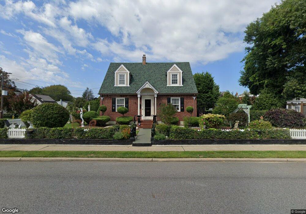
166 E John St Lindenhurst, NY 11757
Estimated Value: $632,524 - $701,000
Studio
--
Bath
1,326
Sq Ft
$499/Sq Ft
Est. Value
About This Home
This home is located at 166 E John St, Lindenhurst, NY 11757 and is currently estimated at $661,381, approximately $498 per square foot. 166 E John St is a home located in Suffolk County with nearby schools including Daniel Street School, Lindenhurst Middle School, and Lindenhurst Senior High School.
Ownership History
Date
Name
Owned For
Owner Type
Purchase Details
Closed on
Aug 29, 2011
Sold by
Lang Martin R and Fogarty Ralph
Bought by
Nardiello Mario
Current Estimated Value
Home Financials for this Owner
Home Financials are based on the most recent Mortgage that was taken out on this home.
Original Mortgage
$276,000
Outstanding Balance
$191,867
Interest Rate
4.58%
Mortgage Type
Purchase Money Mortgage
Estimated Equity
$469,514
Purchase Details
Closed on
Dec 5, 1996
Sold by
Mcgraw William P and Mcgraw Brenda
Bought by
Lang Martin R and Fogarty Ralph
Create a Home Valuation Report for This Property
The Home Valuation Report is an in-depth analysis detailing your home's value as well as a comparison with similar homes in the area
Home Values in the Area
Average Home Value in this Area
Purchase History
| Date | Buyer | Sale Price | Title Company |
|---|---|---|---|
| Nardiello Mario | $345,000 | -- | |
| Lang Martin R | $120,000 | Chicago Title Insurance Co |
Source: Public Records
Mortgage History
| Date | Status | Borrower | Loan Amount |
|---|---|---|---|
| Open | Nardiello Mario | $276,000 |
Source: Public Records
Tax History
| Year | Tax Paid | Tax Assessment Tax Assessment Total Assessment is a certain percentage of the fair market value that is determined by local assessors to be the total taxable value of land and additions on the property. | Land | Improvement |
|---|---|---|---|---|
| 2024 | $11,379 | $3,370 | $330 | $3,040 |
| 2023 | $10,235 | $3,370 | $330 | $3,040 |
| 2022 | $8,800 | $3,370 | $330 | $3,040 |
| 2021 | $8,800 | $3,370 | $330 | $3,040 |
| 2020 | $9,235 | $3,370 | $330 | $3,040 |
| 2019 | $10,245 | $0 | $0 | $0 |
| 2018 | $8,698 | $3,370 | $330 | $3,040 |
| 2017 | $8,698 | $3,370 | $330 | $3,040 |
| 2016 | $8,742 | $3,370 | $330 | $3,040 |
| 2015 | -- | $3,370 | $330 | $3,040 |
| 2014 | -- | $3,370 | $330 | $3,040 |
Source: Public Records
Map
Nearby Homes
- 157 N Alleghany Ave
- 149 Byrd St
- 136 N Delaware Ave
- 244 N Erie Ave
- 92 E John St
- 247 N Greene Ave
- 181 S Alleghany Ave
- 196 S Broome Ave
- 233 S Alleghany Ave
- 261 E Hoffman Ave
- 7 Gary St
- 267 N Wellwood Ave
- 455 N Hamilton Ave
- 41 N Kings Ave
- 449 N Indiana Ave
- 303 Kansas St
- 385 Beacon Ave
- 285 Daniel St
- 361 Nevada St
- 22 Lenox St
- 214 N Broome Ave
- 213 N Clinton Ave
- 167 E John St
- 221 N Clinton Ave
- 154 E John St
- 173 E John St
- 207 N Broome Ave
- 232 N Broome Ave
- 215 N Broome Ave
- 199 N Broome Ave
- 190 N Broome Ave
- 243 N Clinton Ave
- 185 N Clinton Ave
- 221 N Broome Ave
- 195 N Broome Ave
- 202 N Alleghany Ave
- 180 E John St
- 210 N Alleghany Ave
- 240 N Broome Ave
- 189 N Broome Ave
Your Personal Tour Guide
Ask me questions while you tour the home.