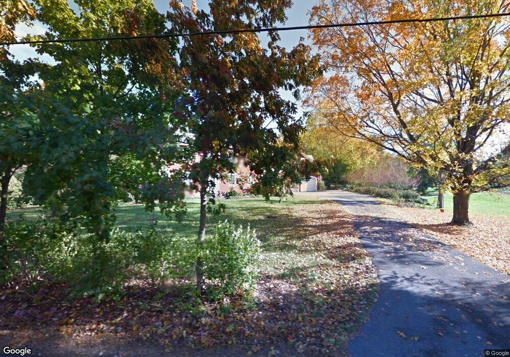
166 Fiske St Carlisle, MA 01741
Estimated Value: $1,587,972 - $1,740,000
4
Beds
5
Baths
4,334
Sq Ft
$381/Sq Ft
Est. Value
About This Home
This home is located at 166 Fiske St, Carlisle, MA 01741 and is currently estimated at $1,652,743, approximately $381 per square foot. 166 Fiske St is a home located in Middlesex County with nearby schools including Carlisle School.
Ownership History
Date
Name
Owned For
Owner Type
Purchase Details
Closed on
Jul 27, 2004
Sold by
Barrow Mark S and Barrow Wendy R
Bought by
Barrow Tr Mark S and Barrow Wendy
Current Estimated Value
Purchase Details
Closed on
Apr 27, 2004
Sold by
Bruce Richard R and Bruce Mary R
Bought by
Barrow Wendy R and Barrow Mark S
Home Financials for this Owner
Home Financials are based on the most recent Mortgage that was taken out on this home.
Original Mortgage
$625,000
Interest Rate
5.4%
Mortgage Type
Purchase Money Mortgage
Create a Home Valuation Report for This Property
The Home Valuation Report is an in-depth analysis detailing your home's value as well as a comparison with similar homes in the area
Home Values in the Area
Average Home Value in this Area
Purchase History
| Date | Buyer | Sale Price | Title Company |
|---|---|---|---|
| Barrow Tr Mark S | -- | -- | |
| Barrow Tr Mark S | -- | -- | |
| Barrow Wendy R | $850,000 | -- | |
| Barrow Wendy R | $850,000 | -- |
Source: Public Records
Mortgage History
| Date | Status | Borrower | Loan Amount |
|---|---|---|---|
| Previous Owner | Barrow Wendy R | $625,000 | |
| Previous Owner | Barrow Wendy R | $475,000 | |
| Previous Owner | Barrow Wendy R | $135,366 |
Source: Public Records
Tax History Compared to Growth
Tax History
| Year | Tax Paid | Tax Assessment Tax Assessment Total Assessment is a certain percentage of the fair market value that is determined by local assessors to be the total taxable value of land and additions on the property. | Land | Improvement |
|---|---|---|---|---|
| 2025 | $19,060 | $1,446,100 | $574,900 | $871,200 |
| 2024 | $18,677 | $1,401,100 | $531,200 | $869,900 |
| 2023 | $18,599 | $1,314,400 | $521,100 | $793,300 |
| 2022 | $17,269 | $1,046,600 | $424,900 | $621,700 |
| 2021 | $16,736 | $1,028,000 | $424,900 | $603,100 |
| 2020 | $17,275 | $940,900 | $337,800 | $603,100 |
| 2019 | $16,942 | $926,300 | $337,800 | $588,500 |
| 2018 | $16,831 | $926,300 | $337,800 | $588,500 |
| 2017 | $15,955 | $905,500 | $337,800 | $567,700 |
| 2016 | $15,236 | $885,800 | $337,800 | $548,000 |
| 2015 | $15,096 | $794,500 | $324,700 | $469,800 |
| 2014 | $14,809 | $794,500 | $324,700 | $469,800 |
Source: Public Records
Map
Nearby Homes
- 12 Martin St
- 5 Carriage Dr
- 1420 Curve St
- 20 4th Ln
- 122 Carlisle Rd
- 8 Kay's Walk Unit 13
- 14 Kay's Walk
- 6 Kay's Walk Unit 6
- 6 Kay's Walk
- 2 Kay's Walk Unit 18
- 4 Kay's Walk Unit 15
- 3 Kay's Walk
- 15 Kay's Walk
- 1 Kay's Walk Unit 1
- 1 Kay's Walk
- 13 Kay's Walk
- 15 Kay's Walk Unit 4
- 3 Kay's Walk Unit 3
- 875 Acton St
- 6 Sierra Dr