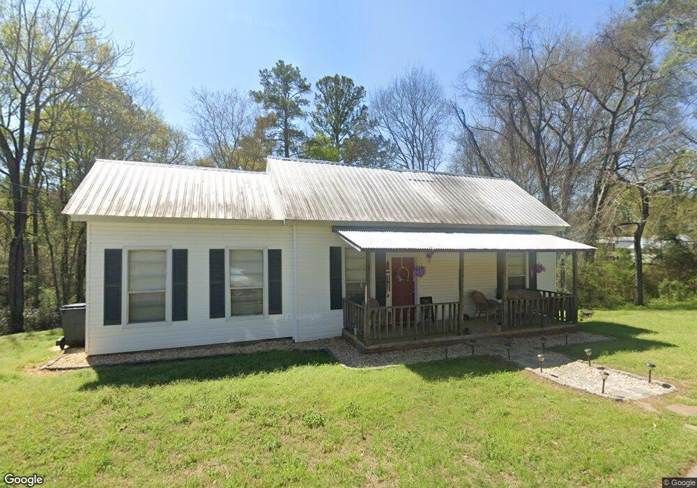
166 Jh Aldridge Dr Juliette, GA 31046
Estimated Value: $79,000 - $146,000
--
Bed
1
Bath
1,214
Sq Ft
$83/Sq Ft
Est. Value
About This Home
This home is located at 166 Jh Aldridge Dr, Juliette, GA 31046 and is currently estimated at $101,224, approximately $83 per square foot. 166 Jh Aldridge Dr is a home with nearby schools including Dames Ferry Elementary School, Gray Station Middle School, and Jones County High School.
Ownership History
Date
Name
Owned For
Owner Type
Purchase Details
Closed on
Feb 28, 2025
Sold by
Ogles Matthew Jordan
Bought by
Harrison Jon Wesley
Current Estimated Value
Purchase Details
Closed on
Jan 10, 2018
Sold by
Mcmurray Rhett S
Bought by
Ogles Matthew Jordan
Home Financials for this Owner
Home Financials are based on the most recent Mortgage that was taken out on this home.
Original Mortgage
$45,941
Interest Rate
3.93%
Mortgage Type
New Conventional
Purchase Details
Closed on
Jan 11, 2017
Sold by
James L
Bought by
Mcmurray Rhett S
Home Financials for this Owner
Home Financials are based on the most recent Mortgage that was taken out on this home.
Original Mortgage
$44,000
Interest Rate
4.16%
Mortgage Type
Purchase Money Mortgage
Create a Home Valuation Report for This Property
The Home Valuation Report is an in-depth analysis detailing your home's value as well as a comparison with similar homes in the area
Home Values in the Area
Average Home Value in this Area
Purchase History
| Date | Buyer | Sale Price | Title Company |
|---|---|---|---|
| Harrison Jon Wesley | $82,000 | -- | |
| Ogles Matthew Jordan | $47,362 | -- | |
| Mcmurray Rhett S | $55,000 | -- |
Source: Public Records
Mortgage History
| Date | Status | Borrower | Loan Amount |
|---|---|---|---|
| Previous Owner | Ogles Matthew Jordan | $45,941 | |
| Previous Owner | Mcmurray Rhett S | $44,000 |
Source: Public Records
Tax History Compared to Growth
Tax History
| Year | Tax Paid | Tax Assessment Tax Assessment Total Assessment is a certain percentage of the fair market value that is determined by local assessors to be the total taxable value of land and additions on the property. | Land | Improvement |
|---|---|---|---|---|
| 2024 | $912 | $25,673 | $4,462 | $21,211 |
| 2023 | $797 | $22,183 | $4,462 | $17,721 |
| 2022 | $789 | $21,960 | $4,239 | $17,721 |
| 2021 | $790 | $21,960 | $4,239 | $17,721 |
| 2020 | $790 | $21,960 | $4,239 | $17,721 |
| 2019 | $682 | $21,960 | $4,239 | $17,721 |
| 2018 | $790 | $21,960 | $4,239 | $17,721 |
| 2017 | $790 | $21,960 | $4,239 | $17,721 |
| 2016 | $790 | $21,960 | $4,239 | $17,721 |
| 2015 | $747 | $21,960 | $4,239 | $17,721 |
| 2014 | $688 | $21,960 | $4,239 | $17,721 |
Source: Public Records
Map
Nearby Homes
- 5543 Juliette Rd
- 615 Old River Rd
- 12820 Ga Highway 87
- 0 Juliette Rd Unit 252992
- 151 Nancy Ln
- 0 Georgia 87
- 0 River Ln Unit 10577862
- 0 River Ln Unit 180807
- 115 Old Stewart Rd
- 3442 Highway 83 N
- 1047 Ponder Trammell Rd
- 0 Ga Highway 87 Unit 1 162113
- LOT 3 Giles Rd
- 671 Giles Rd
- 677 Giles Rd
- 659 Giles Rd
- 0 Watson Road East Tract 7 Unit 179268
- 369 Abares Rd
- 8 Old Dames Ferry Rd
- 2594 Lassiter Rd
- 160 J H Aldridge Dr
- 160 Jh Aldridge Dr
- 133 Williams St
- 152 Jh Aldridge Dr
- 180 Jh Aldridge Dr
- 135 Jeffie Russell Cir
- 125 Williams St
- 167 Jh Aldridge Dr
- 148 Jh Aldridge Dr
- 121 Williams St
- 126 Jeffie Russell Cir
- 0 Jh Aldridge Dr Unit 8547546
- 0 Jh Aldridge Dr Unit 149584
- 115 Williams St
- 190 Jh Aldridge Dr
- 190 J H Aldridge Dr
- 142 Jh Aldridge Dr
- 120 Jeffie Russell Cir
- 849 Old River Rd
- 846 Old River Rd